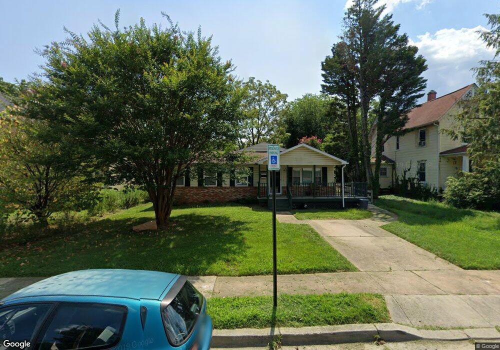
340 Laurel Ave Laurel, MD 20707
Estimated Value: $442,042 - $469,000
Studio
1
Bath
1,576
Sq Ft
$287/Sq Ft
Est. Value
About This Home
This home is located at 340 Laurel Ave, Laurel, MD 20707 and is currently estimated at $452,761, approximately $287 per square foot. 340 Laurel Ave is a home located in Prince George's County with nearby schools including Laurel Elementary School, Dwight D. Eisenhower Middle School, and Laurel High School.
Ownership History
Date
Name
Owned For
Owner Type
Purchase Details
Closed on
Jun 30, 1995
Sold by
Hansen Wilbur R
Bought by
Debnam Laverne L
Current Estimated Value
Home Financials for this Owner
Home Financials are based on the most recent Mortgage that was taken out on this home.
Original Mortgage
$110,200
Interest Rate
7.8%
Purchase Details
Closed on
Aug 14, 1978
Sold by
Grimes Frank W
Bought by
Franck Ronald D and Franck Ethel J
Create a Home Valuation Report for This Property
The Home Valuation Report is an in-depth analysis detailing your home's value as well as a comparison with similar homes in the area
Home Values in the Area
Average Home Value in this Area
Purchase History
| Date | Buyer | Sale Price | Title Company |
|---|---|---|---|
| Debnam Laverne L | $116,000 | -- | |
| Franck Ronald D | $52,500 | -- |
Source: Public Records
Mortgage History
| Date | Status | Borrower | Loan Amount |
|---|---|---|---|
| Closed | Debnam Laverne L | $110,200 |
Source: Public Records
Tax History
| Year | Tax Paid | Tax Assessment Tax Assessment Total Assessment is a certain percentage of the fair market value that is determined by local assessors to be the total taxable value of land and additions on the property. | Land | Improvement |
|---|---|---|---|---|
| 2025 | $3,175 | $488,600 | $100,900 | $387,700 |
| 2024 | $3,175 | $459,533 | -- | -- |
| 2023 | $1,556 | $430,467 | $0 | $0 |
| 2022 | $5,414 | $401,400 | $100,900 | $300,500 |
| 2021 | $5,210 | $389,400 | $0 | $0 |
| 2020 | $5,078 | $377,400 | $0 | $0 |
| 2019 | $4,764 | $365,400 | $75,400 | $290,000 |
| 2018 | $4,419 | $330,367 | $0 | $0 |
| 2017 | $4,117 | $295,333 | $0 | $0 |
| 2016 | -- | $260,300 | $0 | $0 |
| 2015 | -- | $241,233 | $0 | $0 |
| 2014 | $3,011 | $222,167 | $0 | $0 |
Source: Public Records
Map
Nearby Homes
- 322 Laurel Ave
- 509 4th St
- 413 Talbott Ave
- 505A Montgomery St
- 19 Post Office Ave Unit 203
- 501 8th St
- 104 Irving St
- 1002 7th St
- 1000 8th St
- 9575 Cissell Ave
- 903 Montrose Ave
- 910 Montgomery St Unit A
- Lot 5 Cissell Ave
- 916 Philip Powers Dr
- 9401 Riverbrink Ct
- 15012 Wheatland Place
- 1012 Ward St
- 9928B Sir Barton Way
- 1016 Phillip Powers Dr
- 9928A Sir Barton Way
Your Personal Tour Guide
Ask me questions while you tour the home.