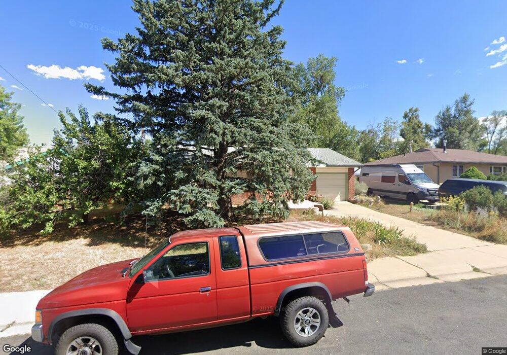
340 S 42nd St Boulder, CO 80305
South Boulder NeighborhoodEstimated Value: $797,562 - $874,000
4
Beds
2
Baths
1,150
Sq Ft
$727/Sq Ft
Est. Value
About This Home
This home is located at 340 S 42nd St, Boulder, CO 80305 and is currently estimated at $836,391, approximately $727 per square foot. 340 S 42nd St is a home located in Boulder County with nearby schools including Creekside Elementary School, Manhattan Middle School of the Arts & Academics, and Fairview High School.
Ownership History
Date
Name
Owned For
Owner Type
Purchase Details
Closed on
Jun 28, 1993
Bought by
Rucker Leland and Rucker Billie Gutgsell
Current Estimated Value
Purchase Details
Closed on
May 1, 1989
Bought by
Rucker Leland and Rucker Billie Gutgsell
Purchase Details
Closed on
Aug 21, 1985
Bought by
Rucker Leland and Rucker Billie Gutgsell
Purchase Details
Closed on
Sep 22, 1981
Bought by
Rucker Leland and Rucker Billie Gutgsell
Create a Home Valuation Report for This Property
The Home Valuation Report is an in-depth analysis detailing your home's value as well as a comparison with similar homes in the area
Home Values in the Area
Average Home Value in this Area
Purchase History
| Date | Buyer | Sale Price | Title Company |
|---|---|---|---|
| Rucker Leland | $144,900 | -- | |
| Rucker Leland | $90,000 | -- | |
| Rucker Leland | $10,000 | -- | |
| Rucker Leland | $78,000 | -- |
Source: Public Records
Tax History Compared to Growth
Tax History
| Year | Tax Paid | Tax Assessment Tax Assessment Total Assessment is a certain percentage of the fair market value that is determined by local assessors to be the total taxable value of land and additions on the property. | Land | Improvement |
|---|---|---|---|---|
| 2025 | $4,146 | $50,387 | $35,206 | $15,181 |
| 2024 | $4,146 | $50,387 | $35,206 | $15,181 |
| 2023 | $4,074 | $53,875 | $41,252 | $16,308 |
| 2022 | $3,535 | $45,015 | $30,601 | $14,414 |
| 2021 | $3,371 | $46,310 | $31,481 | $14,829 |
| 2020 | $3,266 | $44,667 | $25,669 | $18,998 |
| 2019 | $3,216 | $44,667 | $25,669 | $18,998 |
| 2018 | $2,915 | $40,817 | $23,616 | $17,201 |
| 2017 | $2,823 | $45,125 | $26,109 | $19,016 |
| 2016 | $2,432 | $36,051 | $16,477 | $19,574 |
| 2015 | $2,303 | $29,221 | $14,965 | $14,256 |
| 2014 | $1,788 | $29,221 | $14,965 | $14,256 |
Source: Public Records
Map
Nearby Homes
- 450 S 41st St
- 450 S 40th St
- 4293 Graham Ct
- 4255 Apache Rd
- 3682 Chase Ct
- 725 S 45th St
- 611 Tantra Dr
- 15 Pawnee Dr
- 4763 Tantra Dr Unit B
- 750 W Moorhead Cir Unit A
- 800 W Moorhead Cir Unit E
- 960 Toedtli Dr
- 325 Fox Ct
- 850 W Moorhead Cir Unit 3L
- 3410 Ash Ave
- 860 W Moorhead Cir Unit I
- 860 W Moorhead Cir Unit 2K
- 860 W Moorhead Cir Unit 2H
- 1019 Tantra Park Cir
- 2955 Stanford Ave