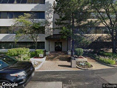
340 W Butterfield Rd Unit 1C Elmhurst, IL 60126
Estimated Value: $565,776
--
Bed
--
Bath
3,855
Sq Ft
$147/Sq Ft
Est. Value
About This Home
This home is located at 340 W Butterfield Rd Unit 1C, Elmhurst, IL 60126 and is currently estimated at $565,776, approximately $146 per square foot. 340 W Butterfield Rd Unit 1C is a home located in DuPage County with nearby schools including Salt Creek Elementary School, Stella May Swartz Elementary School, and John E Albright Middle School.
Ownership History
Date
Name
Owned For
Owner Type
Purchase Details
Closed on
Nov 23, 1999
Sold by
Dalise James V and Dalise Barbara
Bought by
Karas David M
Current Estimated Value
Home Financials for this Owner
Home Financials are based on the most recent Mortgage that was taken out on this home.
Original Mortgage
$260,000
Interest Rate
8.75%
Mortgage Type
Commercial
Create a Home Valuation Report for This Property
The Home Valuation Report is an in-depth analysis detailing your home's value as well as a comparison with similar homes in the area
Home Values in the Area
Average Home Value in this Area
Purchase History
| Date | Buyer | Sale Price | Title Company |
|---|---|---|---|
| Karas David M | $260,000 | Chicago Title Insurance Co |
Source: Public Records
Mortgage History
| Date | Status | Borrower | Loan Amount |
|---|---|---|---|
| Closed | Karas Dds David M | $25,000 | |
| Closed | Karas Dds David M | $100,000 | |
| Open | Karas David M | $335,000 | |
| Closed | Karas David M | $260,000 |
Source: Public Records
Tax History Compared to Growth
Tax History
| Year | Tax Paid | Tax Assessment Tax Assessment Total Assessment is a certain percentage of the fair market value that is determined by local assessors to be the total taxable value of land and additions on the property. | Land | Improvement |
|---|---|---|---|---|
| 2023 | $5,507 | $109,140 | $35,740 | $73,400 |
| 2022 | $5,154 | $103,860 | $34,010 | $69,850 |
| 2021 | $5,251 | $101,270 | $33,160 | $68,110 |
| 2020 | $5,305 | $101,020 | $32,430 | $68,590 |
| 2019 | $5,111 | $96,040 | $30,830 | $65,210 |
| 2018 | $6,199 | $113,420 | $29,180 | $84,240 |
| 2017 | $6,120 | $108,080 | $27,810 | $80,270 |
| 2016 | $5,785 | $101,820 | $26,200 | $75,620 |
| 2015 | $6,439 | $106,640 | $24,410 | $82,230 |
| 2014 | $8,150 | $128,690 | $23,030 | $105,660 |
| 2013 | $8,058 | $130,500 | $23,350 | $107,150 |
Source: Public Records
Map
Nearby Homes
- 427 W Commonwealth Ln
- 957 S Hillside Ave
- 956 S Spring Rd
- 1S045 Spring Rd Unit 3F
- 952 S Fairfield Ave
- 936 S Mitchell Ave
- 175 W Brush Hill Rd Unit 103
- 493 W Dorchester Place
- 953 S Parkside Ave
- 901 S Fairfield Ave
- 328 Walnut Ln
- 1S150 Spring Rd Unit 4I
- 1S150 Spring Rd Unit 2H
- 889 S Fairfield Ave
- 934 S Bryan St
- 110 W Butterfield Rd Unit 107S
- 110 W Butterfield Rd Unit 214S
- 110 W Butterfield Rd Unit 405S
- 5 Oak Brook Club Dr Unit N101
- 265 W Adams St
- 340 W Butterfield Rd
- 340 W Butterfield Rd
- 340 W Butterfield Rd
- 340 W Butterfield Rd Unit 4A4D
- 340 W Butterfield Rd Unit 3D
- 340 W Butterfield Rd Unit 3C
- 340 W Butterfield Rd Unit 3B
- 340 W Butterfield Rd Unit 3A
- 340 W Butterfield Rd Unit 2D
- 340 W Butterfield Rd Unit 2C
- 340 W Butterfield Rd
- 340 W Butterfield Rd Unit 2A
- 340 W Butterfield Rd Unit 1D
- 340 W Butterfield Rd Unit 1C
- 340 W Butterfield Rd Unit 1B
- 340 W Butterfield Rd Unit 1A
- 340 W Butterfield Rd Unit LB
- 340 W Butterfield Rd Unit LLA
- 340 W Butterfield Rd Unit 4A
- 340 W Butterfield Rd Unit 2B