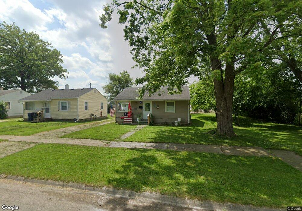
3402 Brent Ave Flint, MI 48506
Thrift City NeighborhoodEstimated Value: $54,000 - $61,000
2
Beds
1
Bath
735
Sq Ft
$77/Sq Ft
Est. Value
About This Home
This home is located at 3402 Brent Ave, Flint, MI 48506 and is currently estimated at $56,333, approximately $76 per square foot. 3402 Brent Ave is a home located in Genesee County with nearby schools including Potter School, Richfield Public School Academy, and Flex High Burton.
Ownership History
Date
Name
Owned For
Owner Type
Purchase Details
Closed on
Jul 9, 2009
Sold by
Mictruzac Properties Llc
Bought by
Mictruzac Properties Llc
Current Estimated Value
Purchase Details
Closed on
May 16, 2008
Sold by
Bernardi Roy A and Hud
Bought by
Mitruzac Properties Llc
Purchase Details
Closed on
Apr 30, 2007
Sold by
1St Trust Bank For Savings
Bought by
Hud
Purchase Details
Closed on
Mar 14, 2007
Sold by
Dicks George
Bought by
1St Trust Bank For Savings
Purchase Details
Closed on
Mar 17, 2000
Sold by
Dicks George A
Bought by
Dicks George A and Pringle Tami L
Create a Home Valuation Report for This Property
The Home Valuation Report is an in-depth analysis detailing your home's value as well as a comparison with similar homes in the area
Home Values in the Area
Average Home Value in this Area
Purchase History
| Date | Buyer | Sale Price | Title Company |
|---|---|---|---|
| Mictruzac Properties Llc | -- | None Available | |
| Mitruzac Properties Llc | $6,800 | None Available | |
| Hud | -- | None Available | |
| 1St Trust Bank For Savings | $37,730 | None Available | |
| Dicks George A | -- | First American Title Ins Co |
Source: Public Records
Tax History Compared to Growth
Tax History
| Year | Tax Paid | Tax Assessment Tax Assessment Total Assessment is a certain percentage of the fair market value that is determined by local assessors to be the total taxable value of land and additions on the property. | Land | Improvement |
|---|---|---|---|---|
| 2025 | $1,331 | $16,300 | $0 | $0 |
| 2024 | $1,228 | $16,200 | $0 | $0 |
| 2023 | $1,197 | $14,200 | $0 | $0 |
| 2022 | $0 | $11,100 | $0 | $0 |
| 2021 | $830 | $9,900 | $0 | $0 |
| 2020 | $769 | $9,700 | $0 | $0 |
| 2019 | $756 | $9,100 | $0 | $0 |
| 2018 | $733 | $8,200 | $0 | $0 |
| 2017 | $716 | $0 | $0 | $0 |
| 2016 | $712 | $0 | $0 | $0 |
| 2015 | -- | $0 | $0 | $0 |
| 2014 | -- | $0 | $0 | $0 |
| 2012 | -- | $9,700 | $0 | $0 |
Source: Public Records
Map
Nearby Homes
- 3421 Brewster St
- 1414 Earlmoor Blvd
- 1324 Earlmoor Blvd
- 3401 Davison Rd
- 3740 Ivanhoe Ave
- 3617 Davison Rd
- 3806 Pitkin Ave
- 3739 Marmion Ave
- 3232 Dale Ave
- 3617 Churchill Ave
- 3205 Holly Ave
- 3730 Holly Ave
- 3514 Whittier Ave
- 3813 Holly Ave
- 3149 Whittier Ave
- 3220 Woodrow Ave
- 2610 Pennsylvania Ave
- 3713 Risedorph Ave
- 2605 Nebraska Ave
- 2146 N Center Rd
- 3406 Brent Ave
- 3410 Brent Ave
- 3401 Brent Ave
- 3414 Brent Ave
- 3409 Brent Ave
- 3405 Brent Ave
- 3418 Brent Ave
- 3413 Brent Ave
- 3422 Brent Ave
- 3417 Brent Ave
- 3402 Brewster St
- 3406 Brewster St
- 1518 N Averill Ave
- 3421 Brent Ave
- 3414 Brewster St
- 3426 Brent Ave
- 3418 Brewster St
- 3425 Brent Ave
- 3432 Brent Ave
- 3422 Brewster St