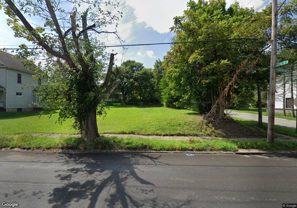
3404 Powers Way Youngstown, OH 44502
Buckeye Plat NeighborhoodEstimated Value: $78,000 - $123,000
--
Bed
1
Bath
--
Sq Ft
7,013
Sq Ft Lot
About This Home
This home is located at 3404 Powers Way, Youngstown, OH 44502 and is currently estimated at $100,500. 3404 Powers Way is a home located in Mahoning County with nearby schools including Paul C. Bunn Elementary School, Chaney High School, and Summit Academy Secondary School - Youngstown.
Ownership History
Date
Name
Owned For
Owner Type
Purchase Details
Closed on
Nov 12, 2003
Sold by
Toth Gary
Bought by
Abold Corp
Current Estimated Value
Purchase Details
Closed on
Oct 27, 2000
Sold by
Harris Trust & Svgs Bank
Bought by
Toth Gary A
Purchase Details
Closed on
May 5, 2000
Sold by
Kaczmark John
Bought by
Ocwen Federal Bank
Purchase Details
Closed on
Jun 4, 1996
Sold by
Stevenson Robert K
Bought by
Kaczmark John R
Purchase Details
Closed on
Feb 11, 1993
Bought by
Stevenson Robert K and T A
Create a Home Valuation Report for This Property
The Home Valuation Report is an in-depth analysis detailing your home's value as well as a comparison with similar homes in the area
Home Values in the Area
Average Home Value in this Area
Purchase History
| Date | Buyer | Sale Price | Title Company |
|---|---|---|---|
| Abold Corp | -- | -- | |
| Toth Gary A | $10,000 | -- | |
| Ocwen Federal Bank | $22,400 | -- | |
| Kaczmark John R | $22,000 | -- | |
| Stevenson Robert K | $12,000 | -- |
Source: Public Records
Mortgage History
| Date | Status | Borrower | Loan Amount |
|---|---|---|---|
| Closed | Kaczmark John R | $0 |
Source: Public Records
Tax History Compared to Growth
Tax History
| Year | Tax Paid | Tax Assessment Tax Assessment Total Assessment is a certain percentage of the fair market value that is determined by local assessors to be the total taxable value of land and additions on the property. | Land | Improvement |
|---|---|---|---|---|
| 2024 | $471 | $420 | $420 | -- |
| 2023 | $20 | $420 | $420 | $0 |
| 2022 | $33 | $520 | $520 | $0 |
| 2021 | $333 | $520 | $520 | $0 |
| 2020 | $183 | $520 | $520 | $0 |
| 2019 | $33 | $470 | $470 | $0 |
| 2018 | $333 | $470 | $470 | $0 |
| 2017 | $188 | $470 | $470 | $0 |
| 2016 | $194 | $660 | $660 | $0 |
| 2015 | $193 | $660 | $660 | $0 |
| 2014 | $42 | $660 | $660 | $0 |
| 2013 | $42 | $660 | $660 | $0 |
Source: Public Records
Map
Nearby Homes
- 3337 Powers Way
- 3448 Neilson Ave
- 3509 Lenox Ave
- 3222 Sheridan Rd
- 2016 Pointview Ave
- 2007 E Midlothian Blvd
- 1954 Everett Ave
- 0 Crescent Dr Unit 5124984
- 2510 E Midlothian Blvd
- 3551 Shirley Rd
- 0 Weston Ave
- 2562 Mount Vernon Ave
- 1313 Humbolt Ave
- 1928 Medford Ave
- 2577 E Midlothian Blvd
- 2001 Brownlee Ave
- 2743 Mount Vernon Ave
- 1653 Brownlee Ave
- 0 Tampa Ave Unit 4420178
- 1654 Wakefield Ave
- 3408 Powers Way
- 3332 Powers Way
- 3410 Powers Way
- 3328 Powers Way
- 3333 Powers Way
- 3412 Powers Way
- 3407 Neilson Ave
- 3407 Powers Way
- 3409 Powers Way
- 3322 Powers Way
- 3411 Neilson Ave
- 3411 Powers Way
- 3424 Powers Way
- 3329 Powers Way
- 3419 Neilson Ave
- 3417 Powers Way
- 3428 Powers Way
- 3349 Neilson Ave
- 3423 Neilson Ave
- 3421 Powers Way