3405 Burrows Ave Unit 15 West Sacramento, CA 95691
Southport NeighborhoodEstimated Value: $761,000
--
Bed
--
Bath
--
Sq Ft
30.37
Acres
About This Home
This home is located at 3405 Burrows Ave Unit 15, West Sacramento, CA 95691 and is currently estimated at $761,000. 3405 Burrows Ave Unit 15 is a home located in Yolo County with nearby schools including Southport Elementary School, River City High, and Our Lady Of Grace.
Ownership History
Date
Name
Owned For
Owner Type
Purchase Details
Closed on
Sep 13, 2004
Sold by
Asb Southport I Llc
Bought by
Asb Southport Ii Llc
Current Estimated Value
Purchase Details
Closed on
Sep 23, 2003
Sold by
Kilgour John W
Bought by
Asb Southport I Llc
Purchase Details
Closed on
Sep 29, 1998
Sold by
Kilgour John W and Kilgour Erin F
Bought by
Kilgour Steven M and Kilgour Yolanda B
Create a Home Valuation Report for This Property
The Home Valuation Report is an in-depth analysis detailing your home's value as well as a comparison with similar homes in the area
Home Values in the Area
Average Home Value in this Area
Purchase History
| Date | Buyer | Sale Price | Title Company |
|---|---|---|---|
| Asb Southport Ii Llc | -- | Old Republic Title Co | |
| Asb Southport I Llc | $3,767,000 | Old Republic Title | |
| Kilgour Steven M | -- | Old Republic Title | |
| Kilgour Steven M | -- | -- |
Source: Public Records
Tax History Compared to Growth
Tax History
| Year | Tax Paid | Tax Assessment Tax Assessment Total Assessment is a certain percentage of the fair market value that is determined by local assessors to be the total taxable value of land and additions on the property. | Land | Improvement |
|---|---|---|---|---|
| 2025 | $31,030 | $2,610,872 | $2,599,508 | $11,364 |
| 2023 | $31,030 | $2,509,491 | $2,498,567 | $10,924 |
| 2022 | $28,524 | $2,460,286 | $2,449,576 | $10,710 |
| 2021 | $30,375 | $2,412,046 | $2,401,546 | $10,500 |
| 2020 | $27,310 | $2,387,315 | $2,376,922 | $10,393 |
| 2019 | $26,986 | $2,340,506 | $2,330,316 | $10,190 |
| 2018 | $26,477 | $2,294,615 | $2,284,624 | $9,991 |
| 2017 | $197,032 | $2,249,624 | $2,239,828 | $9,796 |
| 2016 | $39,655 | $2,205,514 | $2,195,910 | $9,604 |
| 2015 | $37,320 | $2,172,386 | $2,162,926 | $9,460 |
| 2014 | $37,320 | $2,129,833 | $2,120,558 | $9,275 |
Source: Public Records
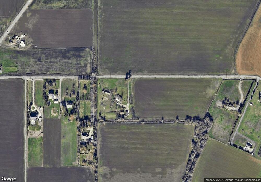
Map
Nearby Homes
- 4074 Southampton St
- 4057 Southampton St
- 3236 Boston Rd
- 4025 Shaver Ct
- 4029 Dover St
- 4035 Tebti Ct
- 3549 Tebti Rd
- 4009 Martis St
- 3670 Topaz Rd
- 3290 Pillsbury Rd
- 3825 Big Bear St
- 6980 Riverside Blvd
- 0 Riverside Blvd
- 26 Marina Grande Ct
- 3125 Gladys Ave
- 3750 Bridgeway Lakes Dr
- 7232 Bayview Way
- 7262 Harbor Light Way
- 3576 Hume St
- 3817 Rock Creek Rd
- 3475 Burrows Ave
- 3451 Burrows Ave
- 3535 Burrows Ave
- 3575 Burrows Ave
- 0 Burrows Unit 16001501
- 0 Burrows Unit 13053806
- 3175 Burrows Ave
- 4555 Jefferson Blvd Unit 65
- 4555 Jefferson Blvd
- 4625 Jefferson Blvd
- 4709 Jefferson Blvd
- 3155 Burrows Ave
- 4580 Jefferson Blvd
- 4500 Jefferson Blvd
- 4460 Jefferson Blvd
- 3125 Burrows Ave
- 3465 Fisher Ave
- 3105 Burrows Ave
- 3505 Fisher Ave
- 4510 Jefferson Blvd