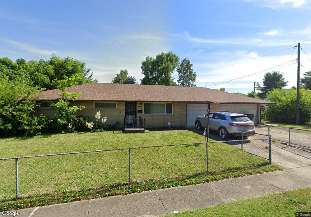
3405 Scottwood Rd Columbus, OH 43227
Linwood NeighborhoodEstimated Value: $203,000 - $231,000
3
Beds
2
Baths
1,116
Sq Ft
$191/Sq Ft
Est. Value
About This Home
This home is located at 3405 Scottwood Rd, Columbus, OH 43227 and is currently estimated at $212,947, approximately $190 per square foot. 3405 Scottwood Rd is a home located in Franklin County with nearby schools including Scottwood Elementary School, Johnson Park Middle School, and Walnut Ridge High School.
Ownership History
Date
Name
Owned For
Owner Type
Purchase Details
Closed on
Jul 12, 1996
Sold by
Lay D J
Bought by
Mccarey James L and Mccarey Jennifer I
Current Estimated Value
Home Financials for this Owner
Home Financials are based on the most recent Mortgage that was taken out on this home.
Original Mortgage
$66,000
Outstanding Balance
$4,708
Interest Rate
8.09%
Mortgage Type
VA
Estimated Equity
$208,239
Purchase Details
Closed on
Sep 1, 1984
Create a Home Valuation Report for This Property
The Home Valuation Report is an in-depth analysis detailing your home's value as well as a comparison with similar homes in the area
Home Values in the Area
Average Home Value in this Area
Purchase History
| Date | Buyer | Sale Price | Title Company |
|---|---|---|---|
| Mccarey James L | $68,500 | -- | |
| -- | $48,000 | -- |
Source: Public Records
Mortgage History
| Date | Status | Borrower | Loan Amount |
|---|---|---|---|
| Open | Mccarey James L | $66,000 |
Source: Public Records
Tax History Compared to Growth
Tax History
| Year | Tax Paid | Tax Assessment Tax Assessment Total Assessment is a certain percentage of the fair market value that is determined by local assessors to be the total taxable value of land and additions on the property. | Land | Improvement |
|---|---|---|---|---|
| 2024 | $2,331 | $61,750 | $14,880 | $46,870 |
| 2023 | $2,330 | $61,750 | $14,880 | $46,870 |
| 2022 | $1,165 | $31,220 | $9,450 | $21,770 |
| 2021 | $1,168 | $31,220 | $9,450 | $21,770 |
| 2020 | $1,169 | $31,220 | $9,450 | $21,770 |
| 2019 | $1,017 | $25,520 | $7,880 | $17,640 |
| 2018 | $951 | $25,520 | $7,880 | $17,640 |
| 2017 | $1,017 | $25,520 | $7,880 | $17,640 |
| 2016 | $976 | $23,490 | $6,130 | $17,360 |
| 2015 | $886 | $23,490 | $6,130 | $17,360 |
| 2014 | $889 | $23,490 | $6,130 | $17,360 |
| 2013 | $515 | $26,075 | $6,790 | $19,285 |
Source: Public Records
Map
Nearby Homes
- 1664 Barnett Rd
- 3325 E Deshler Ave
- 3246 E Deshler Ave
- 1624 Miltwood Rd
- 3566 Seabrook Ave
- 1836 Penfield Ct S
- 1304 Byron Ave
- 3084 Clermont Rd
- 1271 S Weyant Ave
- 1778 Quigley Rd
- 1637 S James Rd
- 2903 Scottwood Rd
- 2894 Landon Dr
- 3861 Gilroy Rd
- 3325 Towers Ct S
- 1721 Bostwick Rd
- 3563 Astor Ave
- 3339 Towers Ct N
- 1782 Newfield Rd
- 3598 Astor Ave
- 1585 Coburg Rd
- 3389 Scottwood Rd
- 3394 Roswell Dr
- 3383 Scottwood Rd
- 3384 Roswell Dr
- 3425 Scottwood Rd
- 1588 Coburg Rd
- 3378 Roswell Dr
- 3428 Scottwood Rd
- 3375 Scottwood Rd
- 3420 Roswell Dr
- 1556 Coburg Rd
- 3370 Roswell Dr
- 3435 Scottwood Rd
- 3367 Scottwood Rd
- 3428 Roswell Dr
- 1617 Coburg Rd
- 3389 Roswell Dr
- 1548 Coburg Rd
- 3381 Roswell Dr