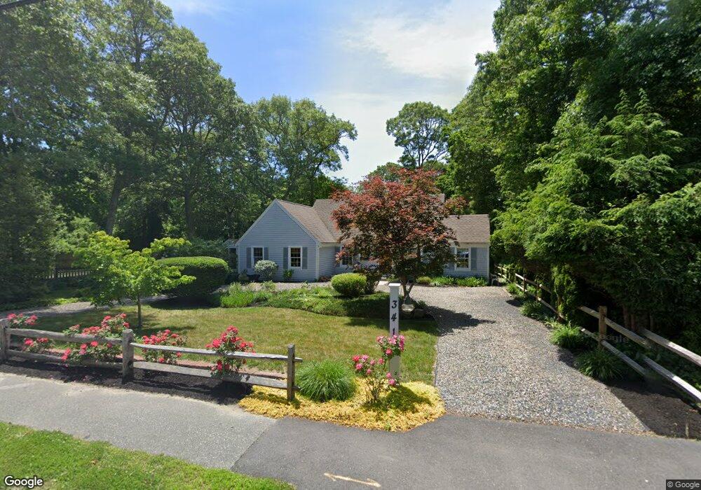
341 Main St Cotuit, MA 02635
Cotuit NeighborhoodEstimated Value: $726,000 - $931,000
3
Beds
2
Baths
1,501
Sq Ft
$531/Sq Ft
Est. Value
About This Home
This home is located at 341 Main St, Cotuit, MA 02635 and is currently estimated at $796,688, approximately $530 per square foot. 341 Main St is a home located in Barnstable County with nearby schools including West Villages Elementary School, Barnstable United Elementary School, and Barnstable Intermediate School.
Ownership History
Date
Name
Owned For
Owner Type
Purchase Details
Closed on
Mar 29, 2021
Sold by
Fanger Brenda M
Bought by
Fanger Ret
Current Estimated Value
Purchase Details
Closed on
Jul 31, 2001
Sold by
Maloy John L
Bought by
Fanger Brenda M
Purchase Details
Closed on
Dec 2, 1988
Sold by
Mcshane Cons Co Inc
Bought by
Maloy John L
Create a Home Valuation Report for This Property
The Home Valuation Report is an in-depth analysis detailing your home's value as well as a comparison with similar homes in the area
Home Values in the Area
Average Home Value in this Area
Purchase History
| Date | Buyer | Sale Price | Title Company |
|---|---|---|---|
| Fanger Ret | -- | None Available | |
| Fanger Brenda M | $215,000 | -- | |
| Maloy John L | $94,500 | -- |
Source: Public Records
Mortgage History
| Date | Status | Borrower | Loan Amount |
|---|---|---|---|
| Previous Owner | Maloy John L | $25,000 | |
| Previous Owner | Maloy John L | $168,000 | |
| Previous Owner | Maloy John L | $20,000 |
Source: Public Records
Tax History
| Year | Tax Paid | Tax Assessment Tax Assessment Total Assessment is a certain percentage of the fair market value that is determined by local assessors to be the total taxable value of land and additions on the property. | Land | Improvement |
|---|---|---|---|---|
| 2025 | $5,420 | $649,100 | $256,000 | $393,100 |
| 2024 | $4,962 | $629,700 | $256,000 | $373,700 |
| 2023 | $4,922 | $588,100 | $253,300 | $334,800 |
| 2022 | $4,590 | $443,900 | $162,300 | $281,600 |
| 2021 | $4,557 | $412,700 | $172,400 | $240,300 |
| 2020 | $5,437 | $464,300 | $233,300 | $231,000 |
| 2019 | $5,366 | $451,700 | $243,400 | $208,300 |
| 2018 | $5,065 | $426,200 | $245,500 | $180,700 |
| 2017 | $4,895 | $414,800 | $245,500 | $169,300 |
| 2016 | $4,794 | $416,500 | $247,200 | $169,300 |
| 2015 | $4,863 | $422,100 | $238,600 | $183,500 |
Source: Public Records
Map
Nearby Homes
- 10 Abbey Gate Rd
- 1820 Santuit Newtown Rd
- 7 Oxford Dr
- 552 Main St
- 239 Oxford Dr
- 226 Dunrobin Rd
- 70 Cape Dr Unit 14D
- 70 Cape Dr Unit 15D
- 70 Cape Dr Unit 11D
- 70 Cape Dr Unit 15D
- 70 Cape Dr Unit 11D
- 1597 Santuit-Newtown Rd
- 15 Riverview Ave Unit D
- 15 Riverview Ave Unit D
- 75 Bob White Run
- 804 Main St
- 181 School St
- 135 Putnam Avenue (Land)
- 70 Simons Rd Unit E
- 70 Simons Rd
Your Personal Tour Guide
Ask me questions while you tour the home.