3410 Pine Circle Ct SW Bemidji, MN 56601
Estimated Value: $316,177 - $366,000
4
Beds
3
Baths
1,206
Sq Ft
$284/Sq Ft
Est. Value
About This Home
This home is located at 3410 Pine Circle Ct SW, Bemidji, MN 56601 and is currently estimated at $342,794, approximately $284 per square foot. 3410 Pine Circle Ct SW is a home located in Beltrami County with nearby schools including Horace May Elementary School, Bemidji Middle School, and Bemidji Senior High School.
Ownership History
Date
Name
Owned For
Owner Type
Purchase Details
Closed on
Sep 19, 2011
Sold by
Foss Jessica Ruth and Foss Troy
Bought by
Mattfield Brandon E and Mattfield Carrie B
Current Estimated Value
Home Financials for this Owner
Home Financials are based on the most recent Mortgage that was taken out on this home.
Original Mortgage
$128,028
Outstanding Balance
$87,169
Interest Rate
4.14%
Mortgage Type
New Conventional
Estimated Equity
$255,625
Purchase Details
Closed on
May 12, 2005
Sold by
Hewitt Relocation Services Inc
Bought by
Popp Jessica Ruth
Home Financials for this Owner
Home Financials are based on the most recent Mortgage that was taken out on this home.
Original Mortgage
$167,000
Interest Rate
6.13%
Mortgage Type
New Conventional
Create a Home Valuation Report for This Property
The Home Valuation Report is an in-depth analysis detailing your home's value as well as a comparison with similar homes in the area
Home Values in the Area
Average Home Value in this Area
Purchase History
| Date | Buyer | Sale Price | Title Company |
|---|---|---|---|
| Mattfield Brandon E | $132,000 | Sathre Title | |
| Popp Jessica Ruth | $167,000 | None Available | |
| Hewitt Relocation Services Inc | $167,000 | None Available |
Source: Public Records
Mortgage History
| Date | Status | Borrower | Loan Amount |
|---|---|---|---|
| Open | Mattfield Brandon E | $128,028 | |
| Previous Owner | Popp Jessica Ruth | $167,000 |
Source: Public Records
Tax History Compared to Growth
Tax History
| Year | Tax Paid | Tax Assessment Tax Assessment Total Assessment is a certain percentage of the fair market value that is determined by local assessors to be the total taxable value of land and additions on the property. | Land | Improvement |
|---|---|---|---|---|
| 2024 | $3,264 | $310,400 | $27,600 | $282,800 |
| 2023 | $3,264 | $310,400 | $27,600 | $282,800 |
| 2022 | $2,992 | $287,100 | $27,700 | $259,400 |
| 2021 | $2,872 | $244,600 | $23,500 | $221,100 |
| 2019 | $2,704 | $244,600 | $23,500 | $221,100 |
| 2018 | $2,608 | $229,000 | $23,500 | $205,500 |
| 2016 | $2,138 | $206,000 | $23,500 | $182,500 |
| 2015 | $2,080 | $187,300 | $0 | $0 |
| 2014 | $1,844 | $187,300 | $0 | $0 |
| 2011 | $1,906 | $176,000 | $0 | $0 |
Source: Public Records
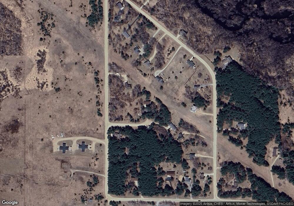
Map
Nearby Homes
- 2012 Monarch Dr SW
- 2157 Oak Ridge Rd SW
- TBD Buchanan Ave SW
- 3790 Country Field Ln SW
- L5 Prairie View Ct SW
- Lot 14 Country Field Ln SW
- Lot 10 Prairie View Ct SW
- 241 Swedmark Dr SW
- L3B3 Mag Seven Ct SW
- 675 Mag Seven Ct SW
- L1/2 B1 Mag Seven Ct SW
- 2224 Deep Rock Loop SW Unit 23
- 2215 Deep Rock Loop SW
- TBD (L11,B2) Grant Hills Rd SW
- TBD (L9,B2) Goldfinch Ln SW
- TBD U S Highway 71
- TBD Mikes Rd SW
- 1006 Carr Lake Rd SW
- 2384 15th St NW
- 2858 Miller Rd SW
- 1941 Oak Ridge Rd SW
- 3416 Pine Circle Ct SW
- 1922 Monarch Dr SW
- 1925 Oak Ridge Rd SW
- 0 Monarch Dr SW
- 2079 Oak Ridge Rd SW
- 2109 Oak Ridge Rd SW
- 2042 Monarch Dr SW
- 1899 Oak Ridge Rd SW Unit SW
- 2023 Oak Ridge Rd SW
- 1965 Oak Ridge Rd SW
- 1861 Oak Ridge Rd SW
- 2133 Oak Ridge Rd SW
- 3730 Birchfield Ln SW
- 3603 16th St SW
- 3507 16th St SW
- 3473 16th St SW
- 1833 Oak Ridge Rd SW
- 2004 Oak Ridge Rd SW
- 2088 Oak Ridge Rd SW