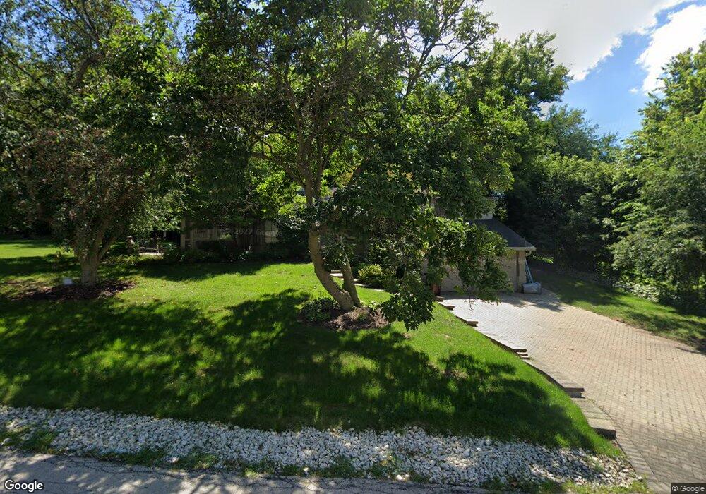
3411 Deer Path Rd Rockford, IL 61107
Estimated Value: $188,582 - $262,000
2
Beds
1
Bath
1,346
Sq Ft
$159/Sq Ft
Est. Value
About This Home
This home is located at 3411 Deer Path Rd, Rockford, IL 61107 and is currently estimated at $214,646, approximately $159 per square foot. 3411 Deer Path Rd is a home located in Winnebago County with nearby schools including Clifford P. Carlson Elementary School, Eisenhower Middle School, and Guilford High School.
Ownership History
Date
Name
Owned For
Owner Type
Purchase Details
Closed on
Jun 30, 2017
Sold by
Laughlin Maureen C
Bought by
Kozeneski Nicole
Current Estimated Value
Home Financials for this Owner
Home Financials are based on the most recent Mortgage that was taken out on this home.
Original Mortgage
$115,995
Outstanding Balance
$96,531
Interest Rate
3.95%
Mortgage Type
FHA
Estimated Equity
$118,115
Purchase Details
Closed on
Sep 29, 1992
Bought by
Laughlin Maureen
Create a Home Valuation Report for This Property
The Home Valuation Report is an in-depth analysis detailing your home's value as well as a comparison with similar homes in the area
Home Values in the Area
Average Home Value in this Area
Purchase History
| Date | Buyer | Sale Price | Title Company |
|---|---|---|---|
| Kozeneski Nicole | $120,000 | Title Underwriters Agency | |
| Laughlin Maureen | $83,000 | -- |
Source: Public Records
Mortgage History
| Date | Status | Borrower | Loan Amount |
|---|---|---|---|
| Open | Kozeneski Nicole | $115,995 |
Source: Public Records
Tax History Compared to Growth
Tax History
| Year | Tax Paid | Tax Assessment Tax Assessment Total Assessment is a certain percentage of the fair market value that is determined by local assessors to be the total taxable value of land and additions on the property. | Land | Improvement |
|---|---|---|---|---|
| 2024 | $4,455 | $53,014 | $9,275 | $43,739 |
| 2023 | $4,231 | $46,745 | $8,178 | $38,567 |
| 2022 | $4,088 | $41,782 | $7,310 | $34,472 |
| 2021 | $3,960 | $38,311 | $6,703 | $31,608 |
| 2020 | $3,886 | $36,218 | $6,337 | $29,881 |
| 2019 | $3,821 | $34,520 | $6,040 | $28,480 |
| 2018 | $3,437 | $30,198 | $5,692 | $24,506 |
| 2017 | $3,398 | $28,900 | $5,447 | $23,453 |
| 2016 | $3,377 | $28,358 | $5,345 | $23,013 |
| 2015 | $3,420 | $28,358 | $5,345 | $23,013 |
| 2014 | $3,794 | $31,149 | $6,683 | $24,466 |
Source: Public Records
Map
Nearby Homes
- 2020 Glenview Rd
- 2014 Glenview Rd
- 4015 Coventry Dr
- 3505 Brookview Rd
- 2020 Valley Rd
- 1928 Bradley Rd
- 1940 Hawthorne Dr
- 2716 Spring Creek Rd
- 2929 Sunnyside Dr
- 2929 Sunnyside Dr Unit 331B
- 1825 Edgebrook Dr
- 3606 Pinecrest Rd
- 2728 Edgewood Dr
- 2520 Oakridge Ln
- 3112 Highcrest Rd
- 4000 Crestview Dr
- 4012 Highcrest Rd
- 3407 La Salle Ave
- 2920 Buckingham Dr
- 2516 Highcrest Rd
- 3412 Deer Path Rd
- 3418 Deer Path Rd
- 2419 Westbrook Dr
- 3408 Deer Path Rd
- 1612 East Ln
- 2413 Westbrook Dr
- 2509 Westbrook Dr
- 2407 Westbrook Dr
- 3421 N View Rd
- 3415 N View Rd
- 3422 Deer Path Rd
- 3411 N View Rd
- 3502 Val Mark Terrace
- 2321 Westbrook Dr
- 3509 Val Mark Terrace
- 3405 N View Rd
- 3420 Spring Creek Rd
- 3504 Val Mark Terrace
- 2416 Westbrook Dr
- 2504 Westbrook Dr