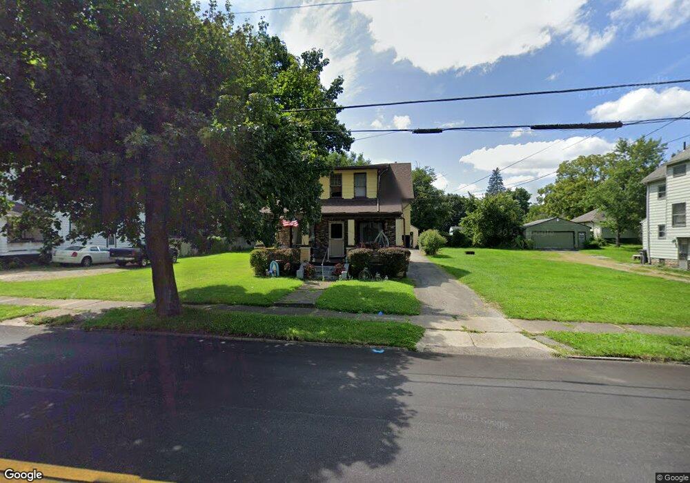
3412 Powers Way Youngstown, OH 44502
Buckeye Plat NeighborhoodEstimated Value: $42,000 - $61,110
3
Beds
2
Baths
1,391
Sq Ft
$37/Sq Ft
Est. Value
About This Home
This home is located at 3412 Powers Way, Youngstown, OH 44502 and is currently estimated at $51,028, approximately $36 per square foot. 3412 Powers Way is a home located in Mahoning County with nearby schools including Paul C. Bunn Elementary School, Chaney High School, and Summit Academy Secondary School - Youngstown.
Ownership History
Date
Name
Owned For
Owner Type
Purchase Details
Closed on
Sep 6, 2024
Sold by
Rolland Julia R
Bought by
Reed Jackson
Current Estimated Value
Home Financials for this Owner
Home Financials are based on the most recent Mortgage that was taken out on this home.
Original Mortgage
$39,964
Outstanding Balance
$39,504
Interest Rate
6.35%
Mortgage Type
New Conventional
Estimated Equity
$11,524
Purchase Details
Closed on
Oct 10, 1969
Bought by
Rolland Thomas A and J R
Create a Home Valuation Report for This Property
The Home Valuation Report is an in-depth analysis detailing your home's value as well as a comparison with similar homes in the area
Home Values in the Area
Average Home Value in this Area
Purchase History
| Date | Buyer | Sale Price | Title Company |
|---|---|---|---|
| Reed Jackson | $41,200 | None Listed On Document | |
| Rolland Thomas A | -- | -- |
Source: Public Records
Mortgage History
| Date | Status | Borrower | Loan Amount |
|---|---|---|---|
| Open | Reed Jackson | $39,964 |
Source: Public Records
Tax History Compared to Growth
Tax History
| Year | Tax Paid | Tax Assessment Tax Assessment Total Assessment is a certain percentage of the fair market value that is determined by local assessors to be the total taxable value of land and additions on the property. | Land | Improvement |
|---|---|---|---|---|
| 2024 | $88 | $11,590 | $830 | $10,760 |
| 2023 | $118 | $11,590 | $830 | $10,760 |
| 2022 | $46 | $8,930 | $830 | $8,100 |
| 2021 | $46 | $8,930 | $830 | $8,100 |
| 2020 | $47 | $8,930 | $830 | $8,100 |
| 2019 | $50 | $8,120 | $760 | $7,360 |
| 2018 | $51 | $8,120 | $760 | $7,360 |
| 2017 | $48 | $8,120 | $760 | $7,360 |
| 2016 | $45 | $9,240 | $760 | $8,480 |
| 2015 | $44 | $9,240 | $760 | $8,480 |
| 2014 | $43 | $9,240 | $760 | $8,480 |
| 2013 | $43 | $9,240 | $760 | $8,480 |
Source: Public Records
Map
Nearby Homes
- 3337 Powers Way
- 3448 Neilson Ave
- 3509 Lenox Ave
- 3222 Sheridan Rd
- 2016 Pointview Ave
- 2007 E Midlothian Blvd
- 1954 Everett Ave
- 0 Crescent Dr Unit 5124984
- 2510 E Midlothian Blvd
- 3551 Shirley Rd
- 0 Weston Ave
- 2562 Mount Vernon Ave
- 1313 Humbolt Ave
- 1928 Medford Ave
- 2577 E Midlothian Blvd
- 2001 Brownlee Ave
- 2743 Mount Vernon Ave
- 1653 Brownlee Ave
- 0 Tampa Ave Unit 4420178
- 1654 Wakefield Ave
- 3410 Powers Way
- 3424 Powers Way
- 3428 Powers Way
- 3408 Powers Way
- 3419 Neilson Ave
- 3423 Neilson Ave
- 3404 Powers Way
- 3423 Powers Way
- 3434 Powers Way
- 3411 Neilson Ave
- 3431 Neilson Ave
- 3407 Neilson Ave
- 3436 Powers Way
- 3439 Neilson Ave
- 3421 Powers Way
- 3417 Powers Way
- 3411 Powers Way
- 3435 Powers Way
- 3409 Powers Way
- 3431 Powers Way