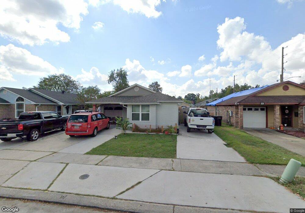
3413 Caesar Dr New Orleans, LA 70114
Behrman NeighborhoodEstimated Value: $114,618 - $181,000
4
Beds
2
Baths
1,322
Sq Ft
$115/Sq Ft
Est. Value
About This Home
This home is located at 3413 Caesar Dr, New Orleans, LA 70114 and is currently estimated at $152,405, approximately $115 per square foot. 3413 Caesar Dr is a home located in Orleans Parish with nearby schools including Paul Habans Charter School, Harriet Tubman Charter School, and Edna Karr High School.
Ownership History
Date
Name
Owned For
Owner Type
Purchase Details
Closed on
Dec 28, 2022
Sold by
Gomez Blanca Iris
Bought by
Orellana Selvin Leonel Grame
Current Estimated Value
Purchase Details
Closed on
Dec 18, 2019
Sold by
Singleton Michael L
Bought by
Garmendia Selvin Leonel and Gomez Blanca Iris
Home Financials for this Owner
Home Financials are based on the most recent Mortgage that was taken out on this home.
Original Mortgage
$53,900
Interest Rate
3.6%
Mortgage Type
New Conventional
Create a Home Valuation Report for This Property
The Home Valuation Report is an in-depth analysis detailing your home's value as well as a comparison with similar homes in the area
Home Values in the Area
Average Home Value in this Area
Purchase History
| Date | Buyer | Sale Price | Title Company |
|---|---|---|---|
| Orellana Selvin Leonel Grame | -- | -- | |
| Garmendia Selvin Leonel | $77,000 | Vintage Title Llc |
Source: Public Records
Mortgage History
| Date | Status | Borrower | Loan Amount |
|---|---|---|---|
| Previous Owner | Garmendia Selvin Leonel | $53,900 |
Source: Public Records
Tax History Compared to Growth
Tax History
| Year | Tax Paid | Tax Assessment Tax Assessment Total Assessment is a certain percentage of the fair market value that is determined by local assessors to be the total taxable value of land and additions on the property. | Land | Improvement |
|---|---|---|---|---|
| 2025 | $573 | $11,190 | $1,420 | $9,770 |
| 2024 | $1,500 | $11,190 | $1,420 | $9,770 |
| 2023 | $1,302 | $9,600 | $1,180 | $8,420 |
| 2022 | $1,302 | $9,180 | $1,180 | $8,000 |
| 2021 | $1,392 | $9,600 | $1,180 | $8,420 |
| 2020 | $405 | $9,600 | $1,180 | $8,420 |
| 2019 | $415 | $9,600 | $1,180 | $8,420 |
| 2018 | $421 | $9,600 | $1,180 | $8,420 |
| 2017 | $388 | $9,600 | $1,180 | $8,420 |
| 2016 | $1,457 | $10,000 | $710 | $9,290 |
| 2015 | $1,496 | $10,000 | $710 | $9,290 |
| 2014 | -- | $10,000 | $710 | $9,290 |
| 2013 | -- | $11,000 | $710 | $10,290 |
Source: Public Records
Map
Nearby Homes
- 1010 Greenspoint Dr Dr Unit 1010
- 3229-31 Magellan St
- 1843 Halsey Ave
- 3222 Columbus St
- 3228 Columbus St
- 1285001 Horace St
- 68 Camelia Trace
- 3309 Lawrence St
- 3216 Bringier St
- 2101 Westbend Pkwy Unit 249
- 2049 Halsey Ave
- 151 Pinewood Ct
- 1743 Tita St
- 1721 General Collins Ave
- 3562 Vespasian Blvd Unit 107
- 3542 Vespasian Blvd Unit 109