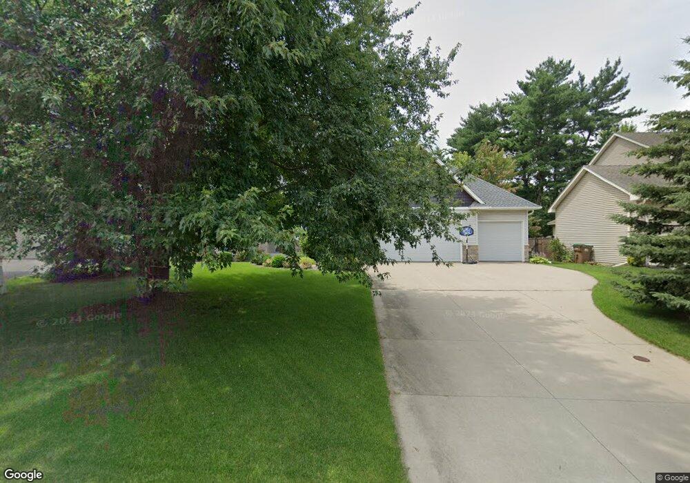
3415 Michael Ave Saint Paul, MN 55110
Estimated Value: $669,000 - $800,000
4
Beds
4
Baths
2,996
Sq Ft
$248/Sq Ft
Est. Value
About This Home
This home is located at 3415 Michael Ave, Saint Paul, MN 55110 and is currently estimated at $742,557, approximately $247 per square foot. 3415 Michael Ave is a home located in Ramsey County with nearby schools including Willow Lane Elementary School, Sunrise Park Middle School, and Gentry Academy High.
Ownership History
Date
Name
Owned For
Owner Type
Purchase Details
Closed on
Jun 29, 2017
Sold by
Bickle Larry E and Bickle Barbara
Bought by
Sandberg Sarah and Sandberg Ryan
Current Estimated Value
Home Financials for this Owner
Home Financials are based on the most recent Mortgage that was taken out on this home.
Original Mortgage
$382,400
Outstanding Balance
$318,233
Interest Rate
3.95%
Mortgage Type
New Conventional
Estimated Equity
$424,324
Purchase Details
Closed on
Aug 30, 2002
Sold by
Gorman Sharon K and Gorman Edgar Thomas
Bought by
Pro Craft Homes Inc
Create a Home Valuation Report for This Property
The Home Valuation Report is an in-depth analysis detailing your home's value as well as a comparison with similar homes in the area
Home Values in the Area
Average Home Value in this Area
Purchase History
| Date | Buyer | Sale Price | Title Company |
|---|---|---|---|
| Sandberg Sarah | $492,485 | Minnesota Title Box | |
| Pro Craft Homes Inc | $315,000 | -- |
Source: Public Records
Mortgage History
| Date | Status | Borrower | Loan Amount |
|---|---|---|---|
| Open | Sandberg Sarah | $382,400 |
Source: Public Records
Tax History Compared to Growth
Tax History
| Year | Tax Paid | Tax Assessment Tax Assessment Total Assessment is a certain percentage of the fair market value that is determined by local assessors to be the total taxable value of land and additions on the property. | Land | Improvement |
|---|---|---|---|---|
| 2025 | $8,978 | $775,600 | $95,200 | $680,400 |
| 2023 | $8,978 | $642,900 | $95,200 | $547,700 |
| 2022 | $8,174 | $618,200 | $95,200 | $523,000 |
| 2021 | $7,658 | $585,300 | $95,200 | $490,100 |
| 2020 | $7,398 | $565,300 | $95,200 | $470,100 |
| 2019 | $6,902 | $518,400 | $95,200 | $423,200 |
| 2018 | $6,664 | $518,400 | $95,200 | $423,200 |
| 2017 | $6,276 | $513,300 | $95,200 | $418,100 |
| 2016 | $6,422 | $0 | $0 | $0 |
| 2015 | $6,436 | $460,300 | $89,500 | $370,800 |
| 2014 | $6,628 | $0 | $0 | $0 |
Source: Public Records
Map
Nearby Homes
- 3580 Rooney Place
- 3561 Rooney Place
- 3571 Rooney Place
- 3237 Jerry Ct
- 1836 Belland Ave
- 1827 County Road E E Unit 18
- 3620 Highland Ave
- 3644 Linden Ave Unit 11
- 3458 Savannah Ave
- 3734 Little Linden Curve Unit 114
- 1778 Linden Cove
- 1613 County Road D E Unit L
- 2121 E County Road D
- 1792 Cheri Ct
- 1794 Cheri Ct
- 1795 Cheri Ct
- 2086 Dorothy Ave
- 2075 Dorothy Ave
- 3760 White Bear Ave N
- 3823 Linden Ave
- 3425 Michael Ave
- 3405 Michael Ave
- 3390 Auger Ave
- 3396 Auger Ave
- 3435 Michael Ave
- 3384 Auger Ave
- 1850 Ivy Ln
- 3420 Michael Ave
- 3430 Auger Ave
- 3430 Michael Ave
- 3378 Auger Ave
- 1860 Ivy Ln
- 3445 Michael Ave
- 3440 Michael Ave
- 3440 Auger Ave
- 1870 Ivy Ln
- 3372 Auger Ave
- 1875 Ivy Ln
- 3450 Michael Ave
- 3391 Auger Ave