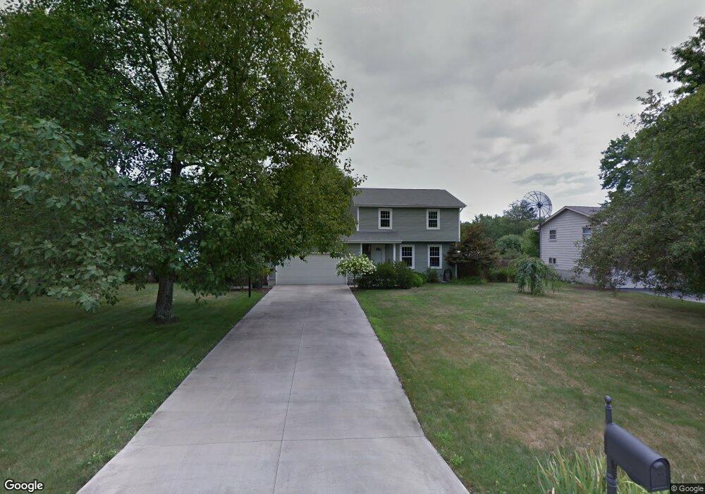
3415 Orchard Hill Dr Canfield, OH 44406
Austintown NeighborhoodEstimated Value: $220,350 - $257,000
3
Beds
2
Baths
1,540
Sq Ft
$151/Sq Ft
Est. Value
About This Home
This home is located at 3415 Orchard Hill Dr, Canfield, OH 44406 and is currently estimated at $232,838, approximately $151 per square foot. 3415 Orchard Hill Dr is a home located in Mahoning County with nearby schools including Austintown Elementary School, Austintown Intermediate School, and Austintown Middle School.
Ownership History
Date
Name
Owned For
Owner Type
Purchase Details
Closed on
May 10, 1995
Sold by
Robinette Ralph L
Bought by
Dombrowski Michael P
Current Estimated Value
Home Financials for this Owner
Home Financials are based on the most recent Mortgage that was taken out on this home.
Original Mortgage
$72,000
Interest Rate
7.25%
Mortgage Type
New Conventional
Purchase Details
Closed on
Jan 1, 1990
Bought by
Robinette Doris C and R L
Create a Home Valuation Report for This Property
The Home Valuation Report is an in-depth analysis detailing your home's value as well as a comparison with similar homes in the area
Home Values in the Area
Average Home Value in this Area
Purchase History
| Date | Buyer | Sale Price | Title Company |
|---|---|---|---|
| Dombrowski Michael P | $80,000 | -- | |
| Robinette Doris C | -- | -- |
Source: Public Records
Mortgage History
| Date | Status | Borrower | Loan Amount |
|---|---|---|---|
| Previous Owner | Dombrowski Michael P | $72,000 |
Source: Public Records
Tax History Compared to Growth
Tax History
| Year | Tax Paid | Tax Assessment Tax Assessment Total Assessment is a certain percentage of the fair market value that is determined by local assessors to be the total taxable value of land and additions on the property. | Land | Improvement |
|---|---|---|---|---|
| 2024 | $2,565 | $55,760 | $7,910 | $47,850 |
| 2023 | $2,522 | $55,760 | $7,910 | $47,850 |
| 2022 | $2,219 | $39,340 | $7,980 | $31,360 |
| 2021 | $2,221 | $39,340 | $7,980 | $31,360 |
| 2020 | $2,229 | $39,340 | $7,980 | $31,360 |
| 2019 | $2,101 | $33,630 | $6,820 | $26,810 |
| 2018 | $2,022 | $33,630 | $6,820 | $26,810 |
| 2017 | $2,011 | $33,630 | $6,820 | $26,810 |
| 2016 | $2,158 | $35,740 | $7,290 | $28,450 |
| 2015 | $2,093 | $35,740 | $7,290 | $28,450 |
| 2014 | $2,102 | $35,740 | $7,290 | $28,450 |
| 2013 | $2,079 | $35,740 | $7,290 | $28,450 |
Source: Public Records
Map
Nearby Homes
- 3695 High Meadow Dr
- 3475 42nd St
- 3481 Forty Second St
- 4643 Warwick Dr S
- 4650 Bunny Trail
- 4114 S Raccoon Rd
- 4674 Barrington Dr
- 3798 S Raccoon Rd
- 2493 Frostwood Dr
- 5285 Kirk Rd
- 40 Woodleigh Ct
- 4488 S Raccoon Rd
- 4689 Crabwood Dr
- 2211 Penny Ln
- 4232 Adeer Dr
- 3270 S Canfield Niles Rd
- 4270 Mellinger Rd
- 4166 Burgett Ln
- 4289 Wedgewood Dr
- 2699 Hamman Dr
- 3427 Orchard Hill Dr
- 3403 Orchard Hill Dr
- 3408 Johnson Farm Dr
- 3439 Orchard Hill Dr
- 3400 Johnson Farm Dr
- 3416 Orchard Hill Dr
- 3416 Johnson Farm Dr
- 3428 Orchard Hill Dr
- 3404 Orchard Hill Dr
- 3451 Orchard Hill Dr
- 4720 Heritage Dr
- 4730 Heritage Dr
- 3440 Orchard Hill Dr
- 3396 Johnson Farm Dr
- 3422 Johnson Farm Dr
- 4740 Heritage Dr
- 3452 Orchard Hill Dr
- 3463 Orchard Hill Dr
- 4750 Heritage Dr
- 3392 Johnson Farm Dr