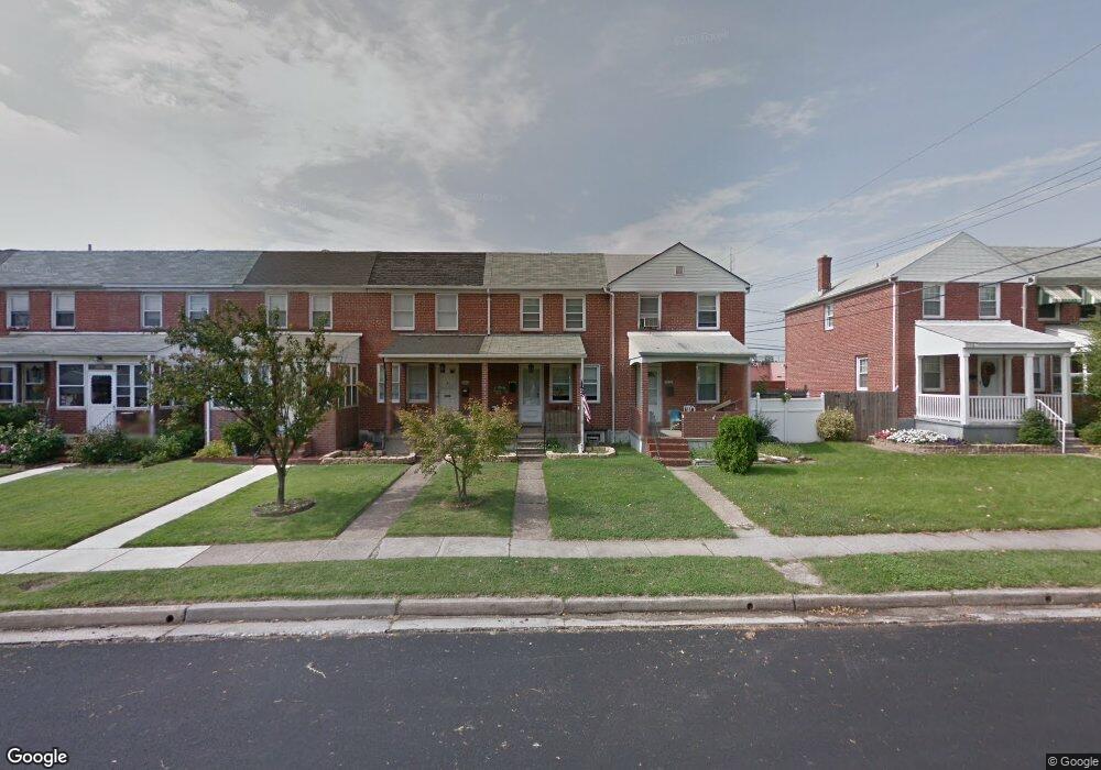
3416 Dunran Rd Dundalk, MD 21222
Saint Helena NeighborhoodEstimated Value: $165,554 - $186,000
2
Beds
2
Baths
896
Sq Ft
$197/Sq Ft
Est. Value
About This Home
This home is located at 3416 Dunran Rd, Dundalk, MD 21222 and is currently estimated at $176,389, approximately $196 per square foot. 3416 Dunran Rd is a home located in Baltimore County with nearby schools including Logan Elementary, Dundalk Middle School, and Dundalk High School.
Ownership History
Date
Name
Owned For
Owner Type
Purchase Details
Closed on
Sep 14, 2009
Sold by
Mcdonald Michael Agnes
Bought by
Alley Joshua M
Current Estimated Value
Purchase Details
Closed on
Oct 30, 2003
Sold by
Mcdonald Michael Agnes
Bought by
Mcdonald Michael Agnes
Purchase Details
Closed on
Dec 26, 1996
Sold by
Mcdonald Michael Agnes
Bought by
Mcdonald Michael Agnes
Create a Home Valuation Report for This Property
The Home Valuation Report is an in-depth analysis detailing your home's value as well as a comparison with similar homes in the area
Home Values in the Area
Average Home Value in this Area
Purchase History
| Date | Buyer | Sale Price | Title Company |
|---|---|---|---|
| Alley Joshua M | $128,000 | -- | |
| Mcdonald Michael Agnes | -- | -- | |
| Mcdonald Michael Agnes | -- | -- |
Source: Public Records
Tax History
| Year | Tax Paid | Tax Assessment Tax Assessment Total Assessment is a certain percentage of the fair market value that is determined by local assessors to be the total taxable value of land and additions on the property. | Land | Improvement |
|---|---|---|---|---|
| 2025 | $2,593 | $127,233 | -- | -- |
| 2024 | $2,593 | $116,067 | $0 | $0 |
| 2023 | $2,320 | $104,900 | $32,000 | $72,900 |
| 2022 | $2,174 | $102,833 | $0 | $0 |
| 2020 | $1,196 | $98,700 | $32,000 | $66,700 |
| 2019 | $1,160 | $95,700 | $0 | $0 |
| 2018 | $1,124 | $92,700 | $0 | $0 |
| 2017 | $1,624 | $89,700 | $0 | $0 |
| 2016 | -- | $89,700 | $0 | $0 |
| 2015 | $1,823 | $89,700 | $0 | $0 |
| 2014 | $1,823 | $93,500 | $0 | $0 |
Source: Public Records
Map
Nearby Homes
- 3436 Dunran Rd
- 6832 Broening Rd
- 6948 Broening Rd
- 6843 Dunbar Rd
- 3325 Mcshane Way
- 7022 Dunbar Rd
- 3536 Mcshane Way
- 3408 Yardley Dr
- 3022 Dunglow Rd
- 3506 Cornwall Ct
- 3421 Cornwall Rd
- 3129 Yorkway
- 3458 Liberty Pkwy
- 402 Chestnut Ct
- 2990 Yorkway
- 3135 Sollers Point Rd
- 6757 Woodley Rd
- 2953 Yorkway
- 7707 Meath Rd
- 123 Oak St
- 3418 Dunran Rd
- 3414 Dunran Rd
- 3420 Dunran Rd
- 3412 Dunran Rd
- 3422 Dunran Rd
- 3424 Dunran Rd
- 3410 Dunran Rd
- 3408 Dunran Rd
- 3426 Dunran Rd
- 3406 Dunran Rd
- 3404 Dunran Rd
- 3428 Dunran Rd
- 3402 Dunran Rd
- 3430 Dunran Rd
- 3432 Dunran Rd
- 3415 Dunran Rd
- 3400 Dunran Rd
- 3434 Dunran Rd
- 6901 Broening Rd
- 3417 Dunran Rd
Your Personal Tour Guide
Ask me questions while you tour the home.