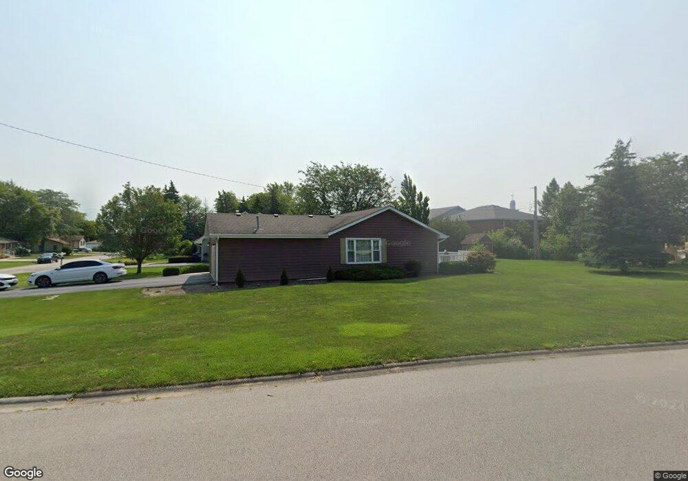
342 Franklin Ave Frankfort, IL 60423
North Frankfort NeighborhoodEstimated Value: $382,000 - $406,000
4
Beds
1
Bath
1,566
Sq Ft
$249/Sq Ft
Est. Value
About This Home
This home is located at 342 Franklin Ave, Frankfort, IL 60423 and is currently estimated at $390,000, approximately $249 per square foot. 342 Franklin Ave is a home located in Will County with nearby schools including Grand Prairie Elementary School, Chelsea Intermediate School, and Hickory Creek Middle School.
Ownership History
Date
Name
Owned For
Owner Type
Purchase Details
Closed on
Mar 2, 2009
Sold by
Brooks Michael T and Brooks Charlene
Bought by
Brooks Michael T and Brooks Charlene
Current Estimated Value
Purchase Details
Closed on
Jan 15, 1996
Sold by
Gliva Raymond J and Gliva Regina I
Bought by
Gliva Raymond J and Gliva Regina I
Purchase Details
Closed on
Jun 20, 1989
Bought by
Brooks Michael C
Create a Home Valuation Report for This Property
The Home Valuation Report is an in-depth analysis detailing your home's value as well as a comparison with similar homes in the area
Home Values in the Area
Average Home Value in this Area
Purchase History
| Date | Buyer | Sale Price | Title Company |
|---|---|---|---|
| Brooks Michael T | -- | None Available | |
| Gliva Raymond J | -- | -- | |
| Brooks Michael C | $112,000 | -- |
Source: Public Records
Tax History
| Year | Tax Paid | Tax Assessment Tax Assessment Total Assessment is a certain percentage of the fair market value that is determined by local assessors to be the total taxable value of land and additions on the property. | Land | Improvement |
|---|---|---|---|---|
| 2024 | $7,489 | $102,527 | $18,809 | $83,718 |
| 2023 | $7,489 | $91,566 | $16,798 | $74,768 |
| 2022 | $6,569 | $83,401 | $15,300 | $68,101 |
| 2021 | $6,181 | $78,025 | $14,314 | $63,711 |
| 2020 | $6,022 | $75,826 | $13,911 | $61,915 |
| 2019 | $5,823 | $73,797 | $13,539 | $60,258 |
| 2018 | $5,714 | $71,676 | $13,150 | $58,526 |
| 2017 | $5,705 | $70,003 | $12,843 | $57,160 |
| 2016 | $5,564 | $67,603 | $12,403 | $55,200 |
| 2015 | $5,344 | $65,222 | $11,966 | $53,256 |
| 2014 | $5,344 | $64,769 | $11,883 | $52,886 |
| 2013 | $5,344 | $65,609 | $12,037 | $53,572 |
Source: Public Records
Map
Nearby Homes
- 254 Willow St
- 9736 Folkers Dr
- 9724 Folkers Dr
- 9730 Folkers Dr
- 647 Johnson Ave
- 425 Cottonwood Rd
- 51 Kaffel Ct
- 239 Oregon St
- 21629 Kent Ct
- Lot 3 Town Center Dr
- 111 Oak St
- 456 Ohio Rd
- 21702 Higley Ln
- 21726 Higley Ln
- 115 Center Rd
- 10039 Croft Ln
- 120 W Sauk Trail
- 719 Stonebridge Rd
- 9306 Fox Run Cir
- 9155 Arbour Walk Dr
- 336 Franklin Ave
- 221 N Locust St
- 411 Franklin Ave
- 212 N Locust St
- 410 Franklin Ave
- 21300 S La Grange Rd
- 21300 S Lagrange Rd
- 324 Franklin Ave
- 333 Franklin Ave
- 220 N Locust St
- 229 N Locust St
- 318 Franklin Ave
- 228 Willow St
- 228 N Locust St
- 416 Franklin Ave
- 207 Grant Ave
- 235 N Locust St
- 201 Grant Ave
- 234 Willow St
Your Personal Tour Guide
Ask me questions while you tour the home.