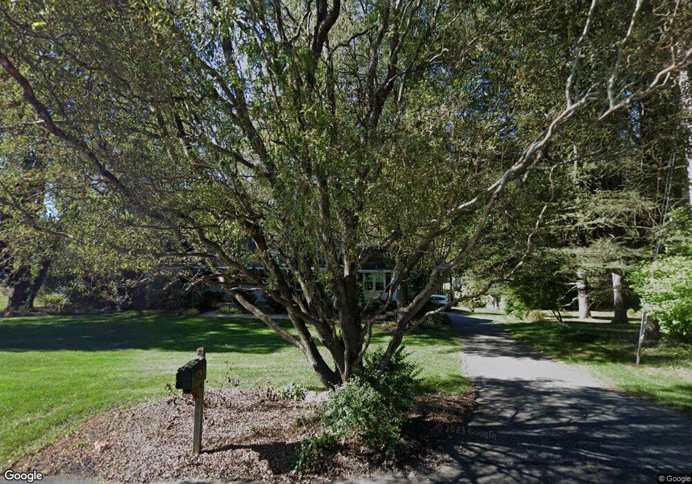
342 Mockingbird Hill Rd Hockessin, DE 19707
Estimated Value: $464,000 - $644,000
4
Beds
3
Baths
1,664
Sq Ft
$352/Sq Ft
Est. Value
About This Home
This home is located at 342 Mockingbird Hill Rd, Hockessin, DE 19707 and is currently estimated at $584,981, approximately $351 per square foot. 342 Mockingbird Hill Rd is a home located in New Castle County with nearby schools including Dupont (H.B.) Middle School, Thomas McKean High School, and Wilmington Christian School.
Ownership History
Date
Name
Owned For
Owner Type
Purchase Details
Closed on
Aug 15, 2008
Sold by
Milam Stephen L and Milam Janet K
Bought by
Milam Stephen L
Current Estimated Value
Create a Home Valuation Report for This Property
The Home Valuation Report is an in-depth analysis detailing your home's value as well as a comparison with similar homes in the area
Home Values in the Area
Average Home Value in this Area
Purchase History
| Date | Buyer | Sale Price | Title Company |
|---|---|---|---|
| Milam Stephen L | -- | None Available |
Source: Public Records
Tax History Compared to Growth
Tax History
| Year | Tax Paid | Tax Assessment Tax Assessment Total Assessment is a certain percentage of the fair market value that is determined by local assessors to be the total taxable value of land and additions on the property. | Land | Improvement |
|---|---|---|---|---|
| 2024 | $3,849 | $117,700 | $21,500 | $96,200 |
| 2023 | $3,337 | $117,700 | $21,500 | $96,200 |
| 2022 | $3,382 | $117,700 | $21,500 | $96,200 |
| 2021 | $3,888 | $117,700 | $21,500 | $96,200 |
| 2020 | $3,888 | $117,700 | $21,500 | $96,200 |
| 2019 | $3,888 | $117,700 | $21,500 | $96,200 |
| 2018 | $3,811 | $117,700 | $21,500 | $96,200 |
| 2017 | $3,765 | $117,700 | $21,500 | $96,200 |
| 2016 | $3,595 | $117,700 | $21,500 | $96,200 |
| 2015 | -- | $117,700 | $21,500 | $96,200 |
| 2014 | -- | $117,700 | $21,500 | $96,200 |
Source: Public Records
Map
Nearby Homes
- 1825 Graves Rd
- 38 Westhampton Dr
- 151 Sawin Ln
- 23 Raphael Rd
- The Cypress Plan at Valley Grove - 3 Story Town Home
- Montauk Plan at Valley Grove - Twin
- 226 Cayman Ct
- 27 Raphael Rd
- 850 Stockbridge Dr
- 0 Stoney Batter Rd
- 5 Foxview Cir
- 614 Loveville Rd Unit C1H
- 5 Ridgewood Dr
- 496 Greenwood Dr
- 10 Equestrian Cir
- 128 Oldbury Dr
- 118 Wooden Carriage Dr
- 12 Foxview Cir
- 4717 Weatherhill Dr
- 1135 Elderon Dr
- 334 Mockingbird Hill Rd
- 350 Mockingbird Hill Rd
- 339 Mockingbird Hill Rd
- 351 Mockingbird Hill Rd
- 425 Valley Brook Dr
- 429 Valley Brook Dr
- 335 Mockingbird Hill Rd
- 439 Valley Brook Dr
- 355 Mockingbird Hill Rd
- 358 Mockingbird Hill Rd
- 443 Valley Brook Dr
- 430 Valley Brook Dr
- 327 Mockingbird Hill Rd
- 359 Mockingbird Hill Rd
- 504 Wayland Dr
- 447 Valley Brook Dr
- 415 Valley Brook Dr
- 362 Mockingbird Hill Rd
- 3761 Mill Creek Rd
- 509 Wayland Dr
