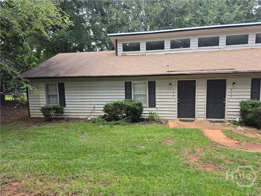
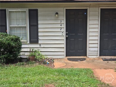
342 Timothy Rd Athens, GA 30606
Berkley Hills NeighborhoodHighlights
- No HOA
- Breakfast Area or Nook
- Central Heating and Cooling System
- Clarke Central High School Rated A-
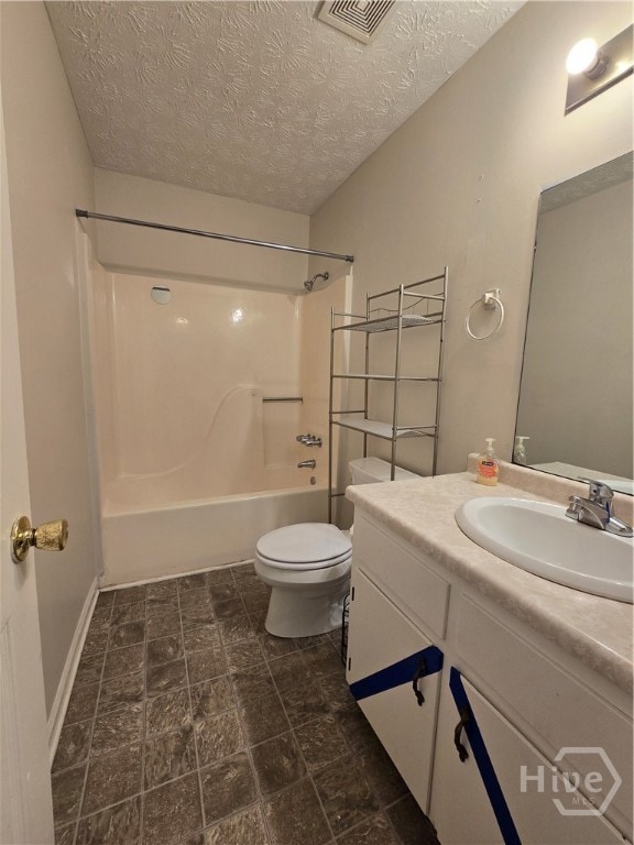
- Bathtub with Shower
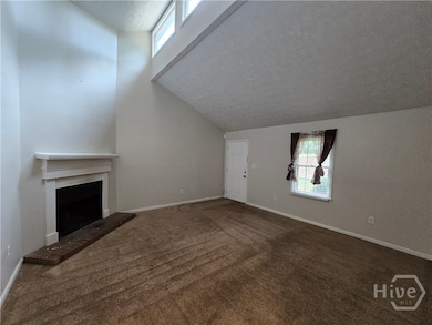
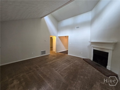
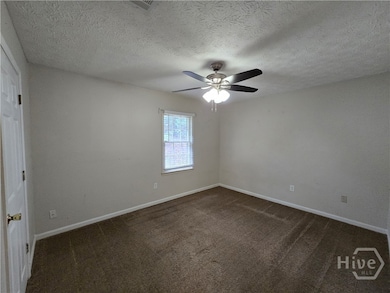
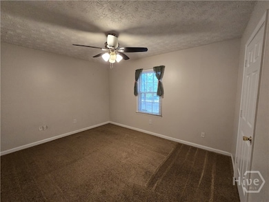
- Carpet
About This Home
Great Location in Athens, GA - close to UGA and the Loop! This one level 2 bedroom 1 bath unit is ready for occupancy. Fresh paint. Extra parking and shaded lot.
Townhouse Details
Home Type
- Townhome
Est. Annual Taxes
- $3,203
Year Built
- Built in 1984
Lot Details
- 2 Pads in the community
Interior Spaces
- 924 Sq Ft Home
- 1-Story Property
- Factory Built Fireplace
- Laundry in Kitchen
Kitchen
- Breakfast Area or Nook
- Range
- Dishwasher
Flooring
- Carpet
- Vinyl
Bedrooms and Bathrooms
- 2 Bedrooms
- 1 Full Bathroom
- Bathtub with Shower
Schools
- Timothy Elementary School
- Clarke Middle School
- Clarke Central High School
Utilities
- Central Heating and Cooling System
- Heating System Uses Gas
- Electric Water Heater
Listing and Financial Details
- Security Deposit $1,100
- Tenant pays for cable TV, electricity, gas, sewer, trash collection, telephone, water
- Assessor Parcel Number 132C2 C004
Community Details
Overview
- No Home Owners Association
Pet Policy
- Pets Allowed
- Pet Deposit $250
Map
Source: CLASSIC MLS (Athens Area Association of REALTORS®)
MLS Number: CL335183
APN: 132C2-C-004
Disclaimer: Certain information contained herein is derived from information provided by parties other than Homes.com. All information provided is deemed reliable, but is not guaranteed to be accurate and should be independently verified.
![]() IDX information is provided exclusively for personal, non-commercial use, and may not be used for any purpose other than to identify prospective properties consumers may be interested in purchasing. Information is deemed reliable but not guaranteed.
IDX information is provided exclusively for personal, non-commercial use, and may not be used for any purpose other than to identify prospective properties consumers may be interested in purchasing. Information is deemed reliable but not guaranteed.
- 105 Greystone Terrace
- 262 Rhodes Dr
- 213 Highpointe Ln
- 145 Holmes Ave
- 3119 Spartan Estates Dr
- 190 Bowles Dr Unit 1
- 190 Bowles Dr
- 205 Heritage Stroll
- 105 Princeton Mill Rd
- 108 Princeton Mill Rd
- 780 Macon Hwy
- 200 Cheatham Dr
- 8580 Macon Hwy
- 185 Eaglewood Way
- 2880 Spartan Estates Dr
- 132 Branford Place
- 238 Eaglewood Ct
- 253 Sleepy Creek Dr
- 260 Martha Dr
- 250 Martha Dr
- 1120 Macon Hwy
- 240 Martha Dr Unit 120
- 240 Martha Dr Unit 220
- 240 Martha Dr
- 143 Steepleview Dr Unit ID1302825P
- 1020 Cherry Hills Ct
- 138 Welch Place Unit 2
- 103 Sleepy Creek Dr
- 100 Downing Way Unit G
- 2136 S Lumpkin St
- 575 Macon Hwy
- 595 Macon Hwy Unit 9
- 253 Marion Dr
- 288 Gran Ellen Dr Gas Utility
- 251 Marion Dr
- 286 Gran Ellen Dr
- 160 Pineview Dr
- 165 Habersham Dr
