342 Tucker Mill Rd New Boston, NH 03070
Estimated Value: $524,248 - $567,000
3
Beds
3
Baths
2,097
Sq Ft
$259/Sq Ft
Est. Value
About This Home
This home is located at 342 Tucker Mill Rd, New Boston, NH 03070 and is currently estimated at $542,812, approximately $258 per square foot. 342 Tucker Mill Rd is a home with nearby schools including New Boston Central School and Goffstown High School.
Ownership History
Date
Name
Owned For
Owner Type
Purchase Details
Closed on
Nov 29, 1999
Sold by
Stoddard Robert and Stoddard Julie A
Bought by
Langevin Brian D and Langevin Nancy K
Current Estimated Value
Home Financials for this Owner
Home Financials are based on the most recent Mortgage that was taken out on this home.
Original Mortgage
$142,400
Interest Rate
7.77%
Create a Home Valuation Report for This Property
The Home Valuation Report is an in-depth analysis detailing your home's value as well as a comparison with similar homes in the area
Home Values in the Area
Average Home Value in this Area
Purchase History
| Date | Buyer | Sale Price | Title Company |
|---|---|---|---|
| Langevin Brian D | $149,900 | -- |
Source: Public Records
Mortgage History
| Date | Status | Borrower | Loan Amount |
|---|---|---|---|
| Open | Langevin Brian D | $212,970 | |
| Closed | Langevin Brian D | $238,000 | |
| Closed | Langevin Brian D | $142,400 |
Source: Public Records
Tax History Compared to Growth
Tax History
| Year | Tax Paid | Tax Assessment Tax Assessment Total Assessment is a certain percentage of the fair market value that is determined by local assessors to be the total taxable value of land and additions on the property. | Land | Improvement |
|---|---|---|---|---|
| 2024 | $7,520 | $316,100 | $160,800 | $155,300 |
| 2023 | $6,433 | $316,100 | $160,800 | $155,300 |
| 2022 | $6,003 | $313,000 | $160,800 | $152,200 |
| 2021 | $5,791 | $313,000 | $160,800 | $152,200 |
| 2020 | $5,823 | $241,700 | $110,100 | $131,600 |
| 2019 | $5,999 | $239,500 | $110,100 | $129,400 |
| 2018 | $5,950 | $239,500 | $110,100 | $129,400 |
| 2017 | $5,946 | $239,500 | $110,100 | $129,400 |
| 2016 | $5,592 | $239,500 | $110,100 | $129,400 |
| 2015 | $6,026 | $225,600 | $104,800 | $120,800 |
| 2014 | $5,742 | $225,600 | $104,800 | $120,800 |
| 2013 | $5,469 | $225,600 | $104,800 | $120,800 |
Source: Public Records
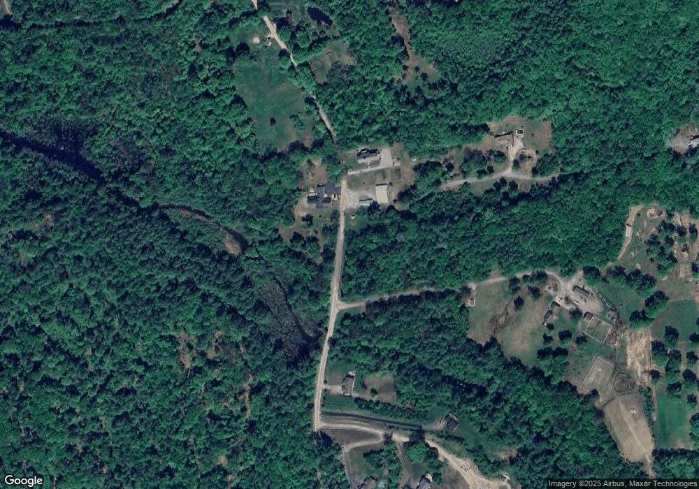
Map
Nearby Homes
- 179 Oak Hill Rd
- 450 Weare Rd
- 238 Old Francestown Rd
- 342 Weare Rd
- 77 Gould Rd
- 95 Wright Dr
- 103 Renshaw Rd
- 93 Daniels Rd
- 624 S Stark Hwy
- 34 Lull Rd
- 196 Deering Center Rd
- 174 S Stark Hwy Unit 13
- 174 S Stark Hwy Unit 1
- 174 S Stark Hwy Unit 23
- Lot 1-50-1 Colburn Rd
- 200 Mountain Rd
- 54 Briar Hill Rd
- 252 Clark Hill Rd
- 1 Old Coach Rd
- 16 Meetinghouse Hill Rd
- 344 Tucker Mill Rd
- 332 Tucker Mill Rd
- 199 Oak Hill Rd
- 350 Tucker Mill Rd
- 209 Oak Hill Rd
- 316 Tucker Mill Rd
- 22 Buxton School Rd
- 343 Tucker Mill Rd
- 219 Oak Hill Rd
- 225 Oak Hill Rd
- 318 Tucker Mill Rd
- 314 Tucker Mill Rd
- 185 Oak Hill Rd
- 200 Oak Hill Rd
- 242 Oak Hill Rd
- 206 Oak Hill Rd
- 214 Oak Hill Rd
- 190 Oak Hill Rd
- 184 Oak Hill Rd
- 312 Tucker Mill Rd