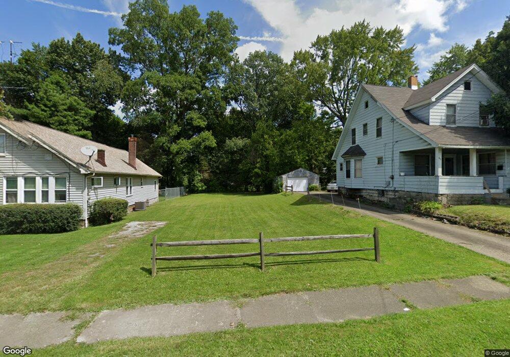
3423 Powers Way Youngstown, OH 44502
Buckeye Plat NeighborhoodEstimated Value: $37,977 - $141,000
4
Beds
2
Baths
1,469
Sq Ft
$61/Sq Ft
Est. Value
About This Home
This home is located at 3423 Powers Way, Youngstown, OH 44502 and is currently estimated at $89,489, approximately $60 per square foot. 3423 Powers Way is a home located in Mahoning County with nearby schools including Paul C. Bunn Elementary School, Chaney High School, and Summit Academy Secondary School - Youngstown.
Ownership History
Date
Name
Owned For
Owner Type
Purchase Details
Closed on
Sep 4, 2019
Sold by
Mahoning County Land Reutilization Corp
Bought by
Trgovac Joan W
Current Estimated Value
Purchase Details
Closed on
Jul 2, 2015
Sold by
Parks Richard B
Bought by
Mahoning County Land Reutilization Corpo
Purchase Details
Closed on
Jul 3, 2002
Sold by
Burch Karl R
Bought by
Parks Richard B
Home Financials for this Owner
Home Financials are based on the most recent Mortgage that was taken out on this home.
Original Mortgage
$17,100
Interest Rate
6.82%
Mortgage Type
Purchase Money Mortgage
Purchase Details
Closed on
Jul 20, 1999
Sold by
Paurich Milan F
Bought by
Burch Karl R
Purchase Details
Closed on
Mar 20, 1991
Bought by
Paurich Milan F and Paurich John
Create a Home Valuation Report for This Property
The Home Valuation Report is an in-depth analysis detailing your home's value as well as a comparison with similar homes in the area
Home Values in the Area
Average Home Value in this Area
Purchase History
| Date | Buyer | Sale Price | Title Company |
|---|---|---|---|
| Trgovac Joan W | -- | None Available | |
| Mahoning County Land Reutilization Corpo | $3,430 | Attorney | |
| Parks Richard B | $18,000 | -- | |
| Burch Karl R | $24,000 | -- | |
| Paurich Milan F | -- | -- |
Source: Public Records
Mortgage History
| Date | Status | Borrower | Loan Amount |
|---|---|---|---|
| Previous Owner | Parks Richard B | $17,100 |
Source: Public Records
Tax History Compared to Growth
Tax History
| Year | Tax Paid | Tax Assessment Tax Assessment Total Assessment is a certain percentage of the fair market value that is determined by local assessors to be the total taxable value of land and additions on the property. | Land | Improvement |
|---|---|---|---|---|
| 2024 | $19 | $390 | $390 | -- |
| 2023 | $19 | $390 | $390 | $0 |
| 2022 | $30 | $480 | $480 | $0 |
| 2021 | $30 | $480 | $480 | $0 |
| 2020 | $30 | $480 | $480 | $0 |
| 2019 | $619 | $440 | $440 | $0 |
| 2018 | $0 | $440 | $440 | $0 |
| 2017 | $3 | $440 | $440 | $0 |
| 2016 | $3 | $4,930 | $880 | $4,050 |
| 2015 | $3 | $4,930 | $880 | $4,050 |
| 2014 | $311 | $4,930 | $880 | $4,050 |
| 2013 | $307 | $4,930 | $880 | $4,050 |
Source: Public Records
Map
Nearby Homes
- 3337 Powers Way
- 3448 Neilson Ave
- 3509 Lenox Ave
- 3222 Sheridan Rd
- 2016 Pointview Ave
- 2007 E Midlothian Blvd
- 1954 Everett Ave
- 0 Crescent Dr Unit 5124984
- 2510 E Midlothian Blvd
- 3551 Shirley Rd
- 0 Weston Ave
- 2562 Mount Vernon Ave
- 1313 Humbolt Ave
- 1928 Medford Ave
- 2577 E Midlothian Blvd
- 2001 Brownlee Ave
- 2743 Mount Vernon Ave
- 1653 Brownlee Ave
- 0 Tampa Ave Unit 4420178
- 1654 Wakefield Ave
- 3431 Powers Way
- 3421 Powers Way
- 3435 Powers Way
- 3424 Powers Way
- 3417 Powers Way
- 3434 Powers Way
- 3428 Powers Way
- 3411 Powers Way
- 3410 Powers Way
- 3412 Powers Way
- 3409 Powers Way
- 3436 Powers Way
- 3408 Powers Way
- 3446 Powers Way
- 3407 Powers Way
- 3448 Powers Way
- 3404 Powers Way
- 3444 Belden Ave
- 3440 Belden Ave
- 3423 Neilson Ave