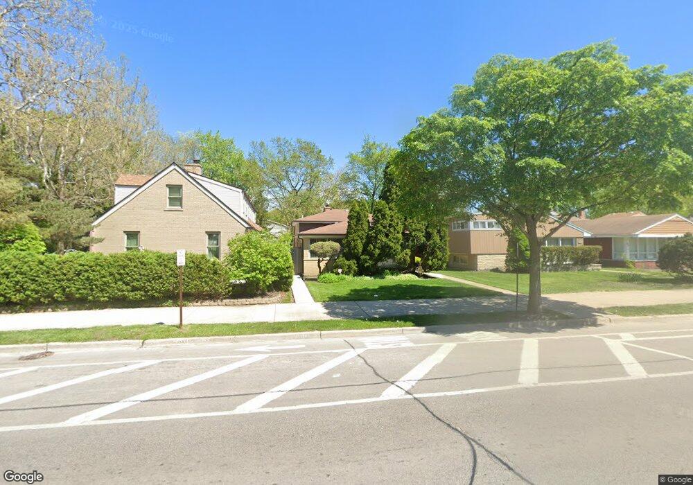
343 Dodge Ave Evanston, IL 60202
Southwest Evanston NeighborhoodEstimated Value: $438,000 - $525,549
3
Beds
2
Baths
1,428
Sq Ft
$343/Sq Ft
Est. Value
About This Home
This home is located at 343 Dodge Ave, Evanston, IL 60202 and is currently estimated at $489,887, approximately $343 per square foot. 343 Dodge Ave is a home located in Cook County with nearby schools including Dawes Elementary School, Chute Middle School, and Evanston Township High School.
Ownership History
Date
Name
Owned For
Owner Type
Purchase Details
Closed on
Mar 1, 2023
Sold by
Lewis Z Koch Revocable Living Trust
Bought by
Joanne B Koch Revocable Living Trust
Current Estimated Value
Purchase Details
Closed on
Jan 7, 2019
Sold by
Koch Lewis Z and Koch Joanne B
Bought by
Koch Lewis Z and Lewis Z Koch Revocable Living Trust
Create a Home Valuation Report for This Property
The Home Valuation Report is an in-depth analysis detailing your home's value as well as a comparison with similar homes in the area
Home Values in the Area
Average Home Value in this Area
Purchase History
| Date | Buyer | Sale Price | Title Company |
|---|---|---|---|
| Joanne B Koch Revocable Living Trust | -- | None Listed On Document | |
| Koch Lewis Z | -- | Attorney | |
| Joanne B Koch Revocable Living Trust | -- | Attorney |
Source: Public Records
Tax History
| Year | Tax Paid | Tax Assessment Tax Assessment Total Assessment is a certain percentage of the fair market value that is determined by local assessors to be the total taxable value of land and additions on the property. | Land | Improvement |
|---|---|---|---|---|
| 2025 | $8,166 | $47,000 | $10,452 | $36,548 |
| 2024 | $8,166 | $36,947 | $8,844 | $28,103 |
| 2023 | $8,434 | $42,000 | $8,844 | $33,156 |
| 2022 | $8,434 | $42,000 | $8,844 | $33,156 |
| 2021 | $7,453 | $33,707 | $6,432 | $27,275 |
| 2020 | $7,461 | $33,707 | $6,432 | $27,275 |
| 2019 | $7,923 | $39,553 | $6,432 | $33,121 |
| 2018 | $7,185 | $32,064 | $5,360 | $26,704 |
| 2017 | $8,667 | $32,064 | $5,360 | $26,704 |
| 2016 | $8,670 | $33,824 | $5,360 | $28,464 |
| 2015 | $5,972 | $26,457 | $4,422 | $22,035 |
| 2014 | $7,126 | $26,457 | $4,422 | $22,035 |
| 2013 | $6,961 | $26,457 | $4,422 | $22,035 |
Source: Public Records
Map
Nearby Homes
- 1927 Warren St
- 1815 Cleveland St
- 2011 Cleveland St
- 532 Wesley Ave Unit WEST
- 1517 Dobson St
- 1625 Howard St Unit C3
- 1609 Howard St Unit 2
- 2123 Howard St Unit 1H
- 704 Florence Ave
- 1321 Brummel St
- 1507 Cleveland St
- 1217 Hull Terrace Unit 3A
- 2507 W Howard St
- 1515 Monroe St Unit A
- 156 Asbury Ave Unit 5
- 1810 Washington St
- 826 Brown Ave
- 1520 Washington St
- 553 Barton Ave
- 3024 W Fargo Ave
Your Personal Tour Guide
Ask me questions while you tour the home.