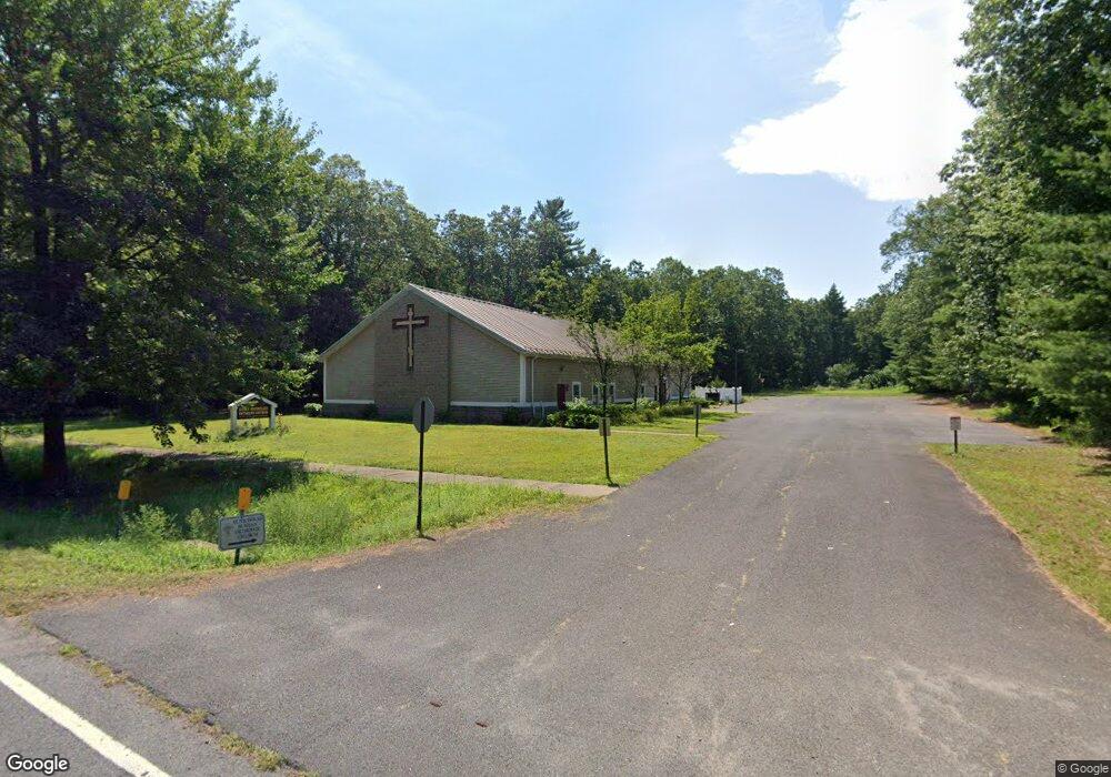
343 N Maple St Enfield, CT 06082
Estimated Value: $829,504
Studio
--
Bath
5,724
Sq Ft
$145/Sq Ft
Est. Value
About This Home
This home is located at 343 N Maple St, Enfield, CT 06082 and is currently estimated at $829,504, approximately $144 per square foot. 343 N Maple St is a home located in Hartford County with nearby schools including Prudence Crandall Elementary School, Henry Barnard Elementary School, and Enfield High School.
Ownership History
Date
Name
Owned For
Owner Type
Purchase Details
Closed on
Mar 17, 2014
Sold by
343 North Maple Llc
Bought by
Stnicholas Rus Orth Ch
Current Estimated Value
Home Financials for this Owner
Home Financials are based on the most recent Mortgage that was taken out on this home.
Original Mortgage
$175,000
Outstanding Balance
$95,809
Interest Rate
5%
Mortgage Type
Commercial
Estimated Equity
$733,696
Purchase Details
Closed on
Feb 5, 2013
Sold by
Morgan John M
Bought by
343 North Maple Llc
Purchase Details
Closed on
Jun 9, 2003
Sold by
Hoff Eric
Bought by
Grace Chapel Community
Create a Home Valuation Report for This Property
The Home Valuation Report is an in-depth analysis detailing your home's value as well as a comparison with similar homes in the area
Home Values in the Area
Average Home Value in this Area
Purchase History
| Date | Buyer | Sale Price | Title Company |
|---|---|---|---|
| Stnicholas Rus Orth Ch | $445,000 | -- | |
| 343 North Maple Llc | -- | -- | |
| Grace Chapel Community | $95,000 | -- | |
| Grace Chapel Community | $130,000 | -- |
Source: Public Records
Mortgage History
| Date | Status | Borrower | Loan Amount |
|---|---|---|---|
| Open | Grace Chapel Community | $175,000 |
Source: Public Records
Tax History
| Year | Tax Paid | Tax Assessment Tax Assessment Total Assessment is a certain percentage of the fair market value that is determined by local assessors to be the total taxable value of land and additions on the property. | Land | Improvement |
|---|---|---|---|---|
| 2025 | $0 | $700,500 | $150,500 | $550,000 |
| 2024 | -- | $700,500 | $150,500 | $550,000 |
| 2023 | $0 | $700,500 | $150,500 | $550,000 |
| 2022 | $0 | $700,500 | $150,500 | $550,000 |
| 2021 | $0 | $682,840 | $125,490 | $557,350 |
| 2020 | $0 | $682,840 | $125,490 | $557,350 |
| 2019 | $0 | $682,840 | $125,490 | $557,350 |
| 2018 | $0 | $682,840 | $125,490 | $557,350 |
| 2017 | $0 | $682,840 | $125,490 | $557,350 |
| 2016 | -- | $671,760 | $125,490 | $546,270 |
| 2015 | -- | $671,760 | $125,490 | $546,270 |
| 2014 | -- | $1,130,250 | $583,980 | $546,270 |
Source: Public Records
Map
Nearby Homes
- 302 Ashmead Commons Unit 302
- 357 N Maple St
- 15 Pine Hill Rd
- 449 The Meadows
- 39 Liberty Ln
- 54 Liberty Ln
- 56 Liberty Ln
- 46 Liberty Ln
- 43 Liberty Ln
- 41 Liberty Ln
- 59 Liberty Ln
- 44 Liberty Ln
- 60 Liberty Ln
- 42 Liberty Ln
- 50 Liberty Ln
- 176 Cottage Rd
- 208 Birch Rd
- 53 Meadowlark Dr
- 63 Meadowlark Dr
- 137 the Laurels Unit 137
- 348 N Maple St
- 339 N Maple St
- 351 N Maple St
- 350 N Maple St
- 353 N Maple St
- 333 N Maple St
- 336 N Maple St
- 507 Ashmead Common Unit 507
- 505 Ashmead Commons Unit 505
- 332 N Maple St
- 329 N Maple St
- 405 Ashmead Commons Unit 405
- 409 Ashmead Commons Unit 409
- 409 Ashmead Commons
- 407 Ashmead Commons
- 415 Ashmead Commons Unit 415
- 416 Ashmead Commons Unit 416
- 327 N Maple St
- 413 Ashmead Commons Unit 413
- 413 Ashmead Commons
Your Personal Tour Guide
Ask me questions while you tour the home.