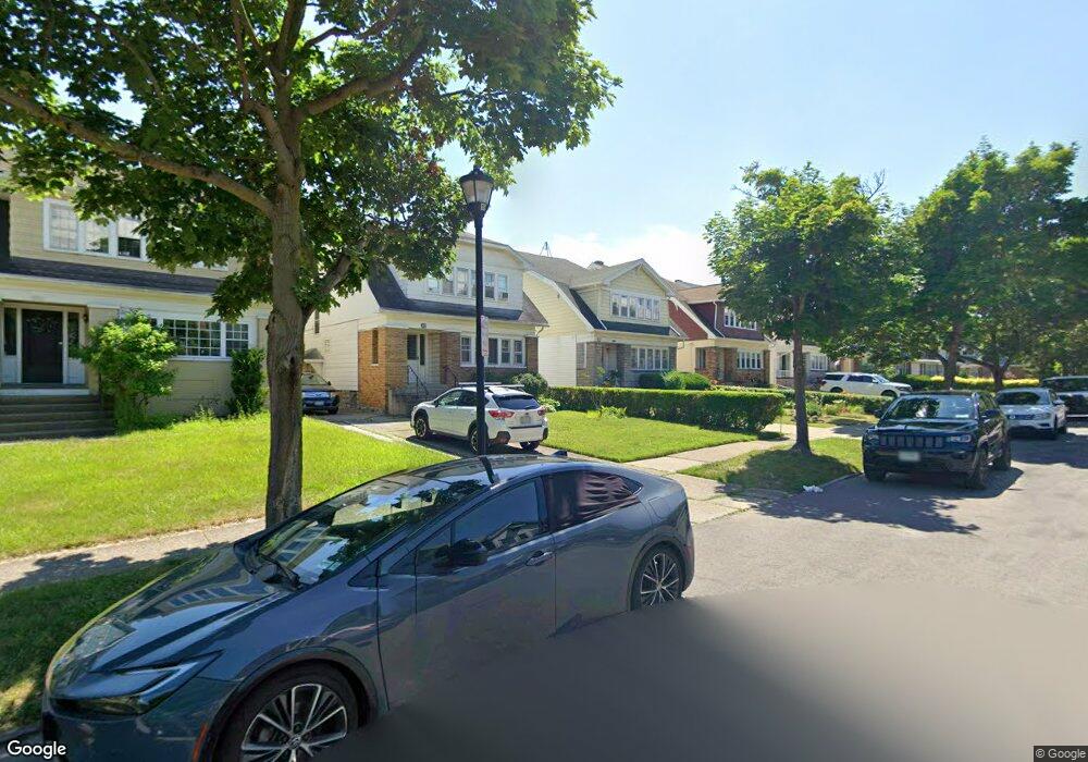
344 Huntington Ave Buffalo, NY 14214
North Park NeighborhoodEstimated Value: $392,000 - $522,000
6
Beds
2
Baths
2,656
Sq Ft
$173/Sq Ft
Est. Value
About This Home
This home is located at 344 Huntington Ave, Buffalo, NY 14214 and is currently estimated at $460,232, approximately $173 per square foot. 344 Huntington Ave is a home located in Erie County with nearby schools including Primary Hall Preparatory Charter School, Buffalo United Charter School, and Buffalo Collegiate Charter School.
Ownership History
Date
Name
Owned For
Owner Type
Purchase Details
Closed on
Feb 19, 2019
Sold by
Aquino Maria and Converso Carolyn Anne
Bought by
Dafchik Anne and Dafchik Patrick S
Current Estimated Value
Home Financials for this Owner
Home Financials are based on the most recent Mortgage that was taken out on this home.
Original Mortgage
$182,000
Outstanding Balance
$159,684
Interest Rate
4.4%
Mortgage Type
New Conventional
Estimated Equity
$300,548
Create a Home Valuation Report for This Property
The Home Valuation Report is an in-depth analysis detailing your home's value as well as a comparison with similar homes in the area
Home Values in the Area
Average Home Value in this Area
Purchase History
| Date | Buyer | Sale Price | Title Company |
|---|---|---|---|
| Dafchik Anne | $260,000 | None Available |
Source: Public Records
Mortgage History
| Date | Status | Borrower | Loan Amount |
|---|---|---|---|
| Open | Dafchik Anne | $182,000 |
Source: Public Records
Tax History Compared to Growth
Tax History
| Year | Tax Paid | Tax Assessment Tax Assessment Total Assessment is a certain percentage of the fair market value that is determined by local assessors to be the total taxable value of land and additions on the property. | Land | Improvement |
|---|---|---|---|---|
| 2024 | $1,558 | $278,000 | $42,000 | $236,000 |
| 2023 | $1,409 | $278,000 | $42,000 | $236,000 |
| 2022 | $1,398 | $278,000 | $42,000 | $236,000 |
| 2021 | $1,398 | $278,000 | $42,000 | $236,000 |
| 2020 | $435 | $278,000 | $42,000 | $236,000 |
| 2019 | $3,100 | $113,000 | $10,900 | $102,100 |
| 2018 | $2,917 | $113,000 | $10,900 | $102,100 |
| 2017 | $672 | $113,000 | $10,900 | $102,100 |
| 2016 | $2,062 | $113,000 | $10,900 | $102,100 |
| 2015 | -- | $113,000 | $10,900 | $102,100 |
| 2014 | -- | $113,000 | $10,900 | $102,100 |
Source: Public Records
Map
Nearby Homes
- 365 Huntington Ave
- 367 Huntington Ave
- 1743 Hertel Ave
- 268 Woodbridge Ave
- 6 Morris Ave
- 110 Linden Ave
- 54 Admiral Rd
- 58 Starin Ave
- 326 Voorhees Ave
- 74 Admiral Rd
- 321 Voorhees Ave
- 47 Winston Rd
- 390 Starin Ave
- 33 Frontenac Ave
- 21 Sterling Ave
- 87 Sterling Ave
- 42 Frontenac Ave
- 32 Sterling Ave
- 430 Parker Ave
- 1941 Hertel Ave
- 340 Huntington Ave
- 348 Huntington Ave
- 338 Huntington Ave
- 352 Huntington Ave
- 334 Huntington Ave
- 356 Huntington Ave
- 330 Huntington Ave
- 358 Huntington Ave
- 343 Huntington Ave Unit UPPER
- 343 Huntington Ave
- 347 Huntington Ave
- 351 Huntington Ave Unit 2
- 351 Huntington Ave
- 353 Huntington Ave
- 208 Starin Ave
- 204 Starin Ave
- 355 Huntington Ave
- 335 Huntington Ave
- 196 Starin Ave
- 210 Starin Ave