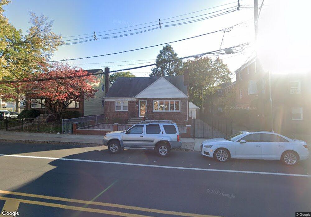
344 Montclair Ave Unit 1 Newark, NJ 07104
Forest Hill NeighborhoodEstimated Value: $491,000 - $618,000
2
Beds
1
Bath
1,200
Sq Ft
$453/Sq Ft
Est. Value
About This Home
This home is located at 344 Montclair Ave Unit 1, Newark, NJ 07104 and is currently estimated at $544,120, approximately $453 per square foot. 344 Montclair Ave Unit 1 is a home located in Essex County with nearby schools including Ridge Street Elementary School, Elliott Street Elementary School, and First Avenue Elementary School.
Ownership History
Date
Name
Owned For
Owner Type
Purchase Details
Closed on
Dec 26, 2003
Current Estimated Value
Purchase Details
Closed on
Jan 12, 1996
Sold by
Vertone Rose
Bought by
Ramdas Ishuar and Ramdas Sylvia
Home Financials for this Owner
Home Financials are based on the most recent Mortgage that was taken out on this home.
Original Mortgage
$118,000
Interest Rate
7.25%
Create a Home Valuation Report for This Property
The Home Valuation Report is an in-depth analysis detailing your home's value as well as a comparison with similar homes in the area
Home Values in the Area
Average Home Value in this Area
Purchase History
| Date | Buyer | Sale Price | Title Company |
|---|---|---|---|
| -- | -- | -- | |
| Ramdas Ishuar | $148,000 | -- |
Source: Public Records
Mortgage History
| Date | Status | Borrower | Loan Amount |
|---|---|---|---|
| Previous Owner | Ramdas Ishuar | $118,000 |
Source: Public Records
Tax History Compared to Growth
Tax History
| Year | Tax Paid | Tax Assessment Tax Assessment Total Assessment is a certain percentage of the fair market value that is determined by local assessors to be the total taxable value of land and additions on the property. | Land | Improvement |
|---|---|---|---|---|
| 2025 | $6,420 | $172,200 | $57,500 | $114,700 |
| 2024 | $6,420 | $172,200 | $57,500 | $114,700 |
| 2022 | $6,433 | $172,200 | $57,500 | $114,700 |
| 2021 | $6,430 | $172,200 | $57,500 | $114,700 |
| 2020 | $6,544 | $172,200 | $57,500 | $114,700 |
| 2019 | $6,476 | $172,200 | $57,500 | $114,700 |
| 2018 | $6,359 | $172,200 | $57,500 | $114,700 |
| 2017 | $6,130 | $172,200 | $57,500 | $114,700 |
| 2016 | $5,924 | $172,200 | $57,500 | $114,700 |
| 2015 | $5,698 | $172,200 | $57,500 | $114,700 |
| 2014 | $5,340 | $172,200 | $57,500 | $114,700 |
Source: Public Records
Map
Nearby Homes
- 335 Montclair Ave
- 333 Montclair Ave Unit 335
- 292 Montclair Ave Unit 294
- 294 Montclair Ave
- 902 N 5th St Unit 311
- 627 Highland Ave
- 832 Parker St
- 734 Ridge St
- 711 Lake St Unit 713
- 776 N 6th St Unit C12
- 8 Tiffany Blvd
- 655 Lake St Unit 661
- 800 Summer Ave
- 16 Lake St
- 786-802 Summer Ave
- 786-802 Summer Ave Unit 5B
- 27 Naples Ave Unit 29
- 27-29 Naples Ave
- 622 N 9th St
- 132-134 Belmont Ave
- 344 Montclair Ave Unit 346
- 340 Montclair Ave Unit 342
- 340-342 Montclair Ave
- 48-50 Bellair Place
- 57 Branch Brook Place
- 57 Branch Brook Place
- 57 Branch Brook Place
- 57 Branch Brook Place
- 57 Branch Brook Place
- 57 Branch Brook Place
- 57 Branch Brook Place
- 57 Branch Brook Place
- 57 Branch Brook Place
- 57 Branch Brook Place
- 57 Branch Brook Place
- 57 Branch Brook Place
- 57 Branch Brook Place
- 57 Branch Brook Place
- 57 Branch Brook Place
- 57 Branch Brook Place