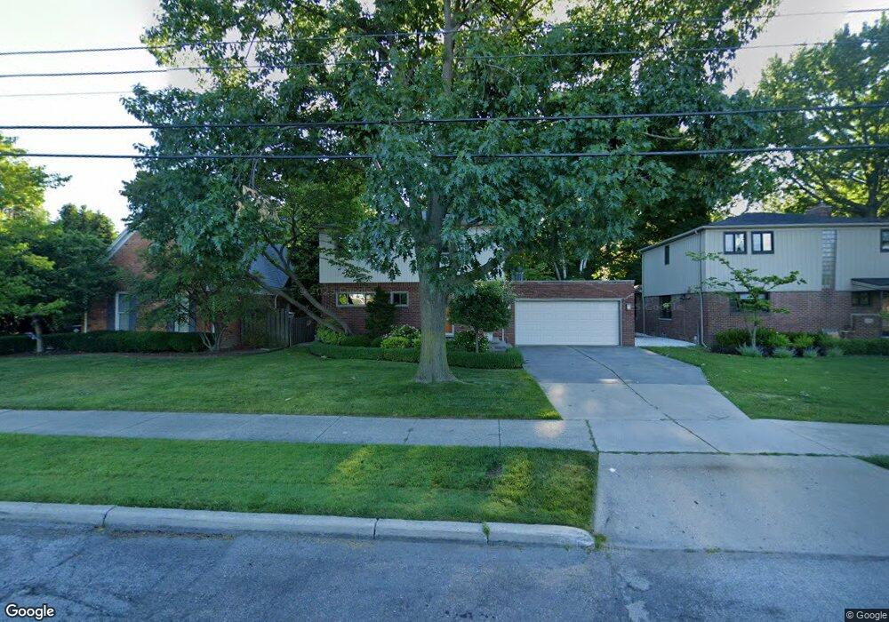
344 Notre Dame St Grosse Pointe, MI 48230
Estimated Value: $449,632 - $500,000
--
Bed
1
Bath
2,062
Sq Ft
$233/Sq Ft
Est. Value
About This Home
This home is located at 344 Notre Dame St, Grosse Pointe, MI 48230 and is currently estimated at $481,158, approximately $233 per square foot. 344 Notre Dame St is a home located in Wayne County with nearby schools including Lewis Maire Elementary School, Pierce Middle School, and Grosse Pointe South High School.
Ownership History
Date
Name
Owned For
Owner Type
Purchase Details
Closed on
Aug 28, 2018
Sold by
Lebeau Judith
Bought by
Lebeau Judith A and Judith A Lebeau Trust
Current Estimated Value
Purchase Details
Closed on
Mar 21, 2000
Sold by
Balsamo Janne
Bought by
Cox William R
Purchase Details
Closed on
Jun 30, 1994
Sold by
Betsy A Zboril
Bought by
Balsamo Jack E Lilien and Balsamo Janne
Home Financials for this Owner
Home Financials are based on the most recent Mortgage that was taken out on this home.
Original Mortgage
$151,200
Interest Rate
8.41%
Mortgage Type
New Conventional
Create a Home Valuation Report for This Property
The Home Valuation Report is an in-depth analysis detailing your home's value as well as a comparison with similar homes in the area
Home Values in the Area
Average Home Value in this Area
Purchase History
| Date | Buyer | Sale Price | Title Company |
|---|---|---|---|
| Lebeau Judith A | -- | None Available | |
| Cox William R | $349,000 | -- | |
| Balsamo Jack E Lilien | $189,000 | -- |
Source: Public Records
Mortgage History
| Date | Status | Borrower | Loan Amount |
|---|---|---|---|
| Previous Owner | Balsamo Jack E Lilien | $151,200 |
Source: Public Records
Tax History Compared to Growth
Tax History
| Year | Tax Paid | Tax Assessment Tax Assessment Total Assessment is a certain percentage of the fair market value that is determined by local assessors to be the total taxable value of land and additions on the property. | Land | Improvement |
|---|---|---|---|---|
| 2025 | $4,553 | $210,900 | $0 | $0 |
| 2024 | $4,553 | $195,500 | $0 | $0 |
| 2023 | $4,342 | $181,600 | $0 | $0 |
| 2022 | $6,285 | $180,700 | $0 | $0 |
| 2021 | $5,959 | $168,800 | $0 | $0 |
| 2019 | $6,189 | $132,000 | $0 | $0 |
| 2018 | $3,769 | $113,500 | $0 | $0 |
| 2017 | $3,979 | $112,300 | $0 | $0 |
| 2016 | $5,672 | $122,900 | $0 | $0 |
| 2015 | $10,756 | $122,100 | $0 | $0 |
| 2013 | $10,420 | $108,700 | $0 | $0 |
| 2012 | -- | $102,700 | $0 | $0 |
Source: Public Records
Map
Nearby Homes
- 386 Notre Dame St
- 320 Neff Rd
- 16935 Maumee Ave
- 379 Lakeland St
- 43 Cranford Ln
- 25 Village Ln
- 497 Neff Rd
- 296 Rivard Blvd
- 1036 Yorkshire Rd
- 425 Rivard Blvd
- 4 Cameron Place
- 616 Cadieux Rd
- 17680 E Jefferson Ave
- 277 Lincoln Rd
- 1117 Bishop Rd
- 801 Park Ln
- 11 Dodge Place
- 355 Lincoln Rd
- 29 Fisher Rd
- 459 Washington Rd
- 350 Notre Dame St
- 338 Notre Dame St
- 17021 E Jefferson Ave
- 17011 E Jefferson Ave
- 363 Saint Clair St
- 357 Saint Clair Ave
- 355 Saint Clair St
- 347 Saint Clair St
- 369 St Clair
- 369 Saint Clair St
- 17031 E Jefferson Ave
- 373 St Clair
- 368 Notre Dame St
- 349 Notre Dame St
- 373 Saint Clair St
- 16939 E Jefferson Ave
- 379 St Clair
- 379 Saint Clair St
- 357 Notre Dame St
- 357 Notre Dame St