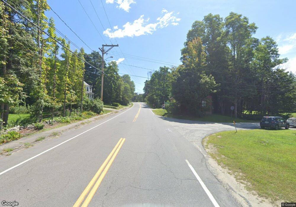
344 Route 103 W Warner, NH 03278
Estimated Value: $637,000 - $692,000
3
Beds
3
Baths
2,128
Sq Ft
$312/Sq Ft
Est. Value
About This Home
This home is located at 344 Route 103 W, Warner, NH 03278 and is currently estimated at $662,985, approximately $311 per square foot. 344 Route 103 W is a home located in Merrimack County with nearby schools including Sutton Central Elementary School, Kearsarge Regional Middle School, and Kearsarge Regional High School.
Ownership History
Date
Name
Owned For
Owner Type
Purchase Details
Closed on
Feb 24, 2022
Sold by
Dupont Shawn M
Bought by
Ricciardi Christine J and Ricciardi Robert C
Current Estimated Value
Purchase Details
Closed on
Jun 24, 2013
Sold by
Clarke Nicole M
Bought by
Dupont Shawn M
Home Financials for this Owner
Home Financials are based on the most recent Mortgage that was taken out on this home.
Original Mortgage
$259,900
Interest Rate
3.45%
Mortgage Type
Purchase Money Mortgage
Purchase Details
Closed on
Jan 30, 2004
Sold by
Ballou Scott J
Bought by
Dupont Shawn M
Home Financials for this Owner
Home Financials are based on the most recent Mortgage that was taken out on this home.
Original Mortgage
$248,000
Interest Rate
5.82%
Mortgage Type
Purchase Money Mortgage
Create a Home Valuation Report for This Property
The Home Valuation Report is an in-depth analysis detailing your home's value as well as a comparison with similar homes in the area
Home Values in the Area
Average Home Value in this Area
Purchase History
| Date | Buyer | Sale Price | Title Company |
|---|---|---|---|
| Ricciardi Christine J | $530,000 | None Available | |
| Dupont Shawn M | -- | -- | |
| Dupont Shawn M | $310,000 | -- |
Source: Public Records
Mortgage History
| Date | Status | Borrower | Loan Amount |
|---|---|---|---|
| Previous Owner | Dupont Shawn M | $259,900 | |
| Previous Owner | Dupont Shawn M | $248,000 |
Source: Public Records
Tax History Compared to Growth
Tax History
| Year | Tax Paid | Tax Assessment Tax Assessment Total Assessment is a certain percentage of the fair market value that is determined by local assessors to be the total taxable value of land and additions on the property. | Land | Improvement |
|---|---|---|---|---|
| 2024 | $8,566 | $277,307 | $36,307 | $241,000 |
| 2023 | $8,660 | $273,020 | $69,960 | $203,060 |
| 2016 | $7,464 | $273,020 | $69,960 | $203,060 |
| 2015 | $7,273 | $273,020 | $69,960 | $203,060 |
| 2011 | $7,247 | $290,230 | $71,650 | $218,580 |
Source: Public Records
Map
Nearby Homes
- 71 Melvin Rd
- lot 3 Gridley St
- 5 Gridley St
- 1 Gridley St
- 24 Willaby Colby Ln
- 0 Bagley Hill Rd
- 2024 Route 114
- 2400 Route 114
- 10 Dodge Hill Rd
- 183 Breezy Hill Rd
- 312 North Rd
- Map5lot729-028
- 0 Waldron Hill Rd Unit 30-2-3
- 0 Waldron Hill Rd Unit 30-2-4
- 36 Oakdale Rd
- 5 Greenhouse Ln
- 82 Waldron Hill Rd
- 6 Kirtland St
- 916 New Hampshire 114
- 00 Newbury Rd Unit 764-534
- 812 Route 103 W
- 812 Route 103 W
- 344 Route 103 W
- 627 Roby Rd
- 675 Roby Rd
- 674 Route 103 W
- 8 E Roby District Rd
- 19 E Roby District Rd
- Lot # 7 Roby Rd
- 533 Roby Rd
- 685 Route 103 W
- 691 New Hampshire Route 103
- 691 Route 103 W
- 701 Route 103 W
- 506 New Hampshire Route 103
- 86 New Hampshire Route 103
- 86 State Highway Route 103 Route
- 86 Route 103
- 140 W Roby District Rd
- 129 Cottage Ln
