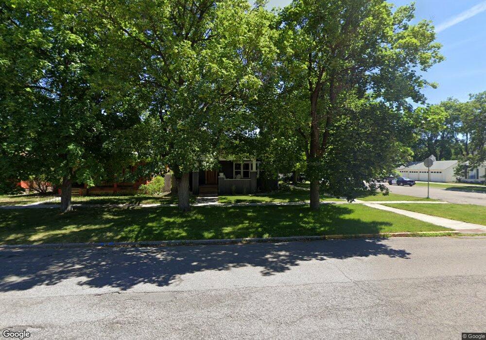
344 Woodford St Missoula, MT 59801
Rose Park NeighborhoodEstimated Value: $485,000 - $560,455
2
Beds
1
Bath
1,260
Sq Ft
$415/Sq Ft
Est. Value
About This Home
This home is located at 344 Woodford St, Missoula, MT 59801 and is currently estimated at $523,364, approximately $415 per square foot. 344 Woodford St is a home located in Missoula County with nearby schools including Paxson School, Washington Middle School, and Hellgate High School.
Ownership History
Date
Name
Owned For
Owner Type
Purchase Details
Closed on
Mar 16, 2017
Sold by
Silverfern Inc
Bought by
Day Daniel J
Current Estimated Value
Home Financials for this Owner
Home Financials are based on the most recent Mortgage that was taken out on this home.
Original Mortgage
$322,050
Outstanding Balance
$267,209
Interest Rate
4.19%
Mortgage Type
New Conventional
Estimated Equity
$256,155
Purchase Details
Closed on
Jul 8, 2016
Sold by
Chapman Loren
Bought by
Silverfern Inc
Purchase Details
Closed on
Jun 16, 2016
Sold by
Kalar Angela M
Bought by
Chapman Loren
Purchase Details
Closed on
Aug 25, 2015
Sold by
Chapman Loren
Bought by
Kalar Angela M
Purchase Details
Closed on
Mar 25, 2015
Sold by
Estate Of Robert B Atchison and Atchison Pamela Jo
Bought by
Chapman Loren
Purchase Details
Closed on
Oct 13, 1989
Sold by
Atchison Robert B and Estate Of Morgan M Atchison
Bought by
Atchison Robert B
Create a Home Valuation Report for This Property
The Home Valuation Report is an in-depth analysis detailing your home's value as well as a comparison with similar homes in the area
Home Values in the Area
Average Home Value in this Area
Purchase History
| Date | Buyer | Sale Price | Title Company |
|---|---|---|---|
| Day Daniel J | -- | Title Services Inc | |
| Silverfern Inc | -- | Title Services Inc | |
| Chapman Loren | -- | None Available | |
| Kalar Angela M | -- | None Available | |
| Chapman Loren | -- | None Available | |
| Atchison Robert B | -- | -- |
Source: Public Records
Mortgage History
| Date | Status | Borrower | Loan Amount |
|---|---|---|---|
| Open | Day Daniel J | $322,050 |
Source: Public Records
Tax History Compared to Growth
Tax History
| Year | Tax Paid | Tax Assessment Tax Assessment Total Assessment is a certain percentage of the fair market value that is determined by local assessors to be the total taxable value of land and additions on the property. | Land | Improvement |
|---|---|---|---|---|
| 2025 | $6,169 | $594,100 | $311,870 | $282,230 |
| 2024 | $5,613 | $461,200 | $217,230 | $243,970 |
| 2023 | $5,737 | $461,200 | $217,230 | $243,970 |
| 2022 | $5,290 | $366,600 | $0 | $0 |
| 2021 | $4,453 | $366,600 | $0 | $0 |
| 2020 | $4,683 | $331,000 | $0 | $0 |
| 2019 | $4,677 | $331,000 | $0 | $0 |
| 2018 | $4,405 | $300,800 | $0 | $0 |
| 2017 | $3,414 | $259,100 | $0 | $0 |
| 2016 | $2,847 | $225,500 | $0 | $0 |
| 2015 | $2,632 | $225,500 | $0 | $0 |
| 2014 | $1,220 | $138,754 | $0 | $0 |
Source: Public Records
Map
Nearby Homes
- 603 Brooks St
- 125 W Franklin St
- 1325 Gerald Ave
- 225 Eddy Ave
- 808 Ash St
- 455 Mount Ave
- 300 Connell Ave
- 520 Hickory St
- 120 S 4th St W Unit 4 and 6
- 722 Oak St
- 320 S 6th St E
- 470 Strand Ave
- 415 S 6th St E
- 512 S 2nd St W
- 1105 Stephens Ave Unit 1
- 1105 Stephens Ave Unit 2
- 542 Eddy Ave
- TBD Tbd
- 229 Knowles St
- 540 S 6th St E
- 340 Woodford St
- 334 Woodford St
- 328 Woodford St
- 324 Woodford St
- 345 Brooks St
- 333 Brooks St
- 320 Woodford St
- 331 Brooks St
- 325 Brooks St
- 401 Brooks St
- 316 Woodford St
- 414 Woodford St
- 323 Brooks St
- 401 Woodford St
- 415 Brooks St
- 418 Woodford St
- 309 Tremont St
- 315 Tremont St
- 303 Tremont St
- 321 Tremont St