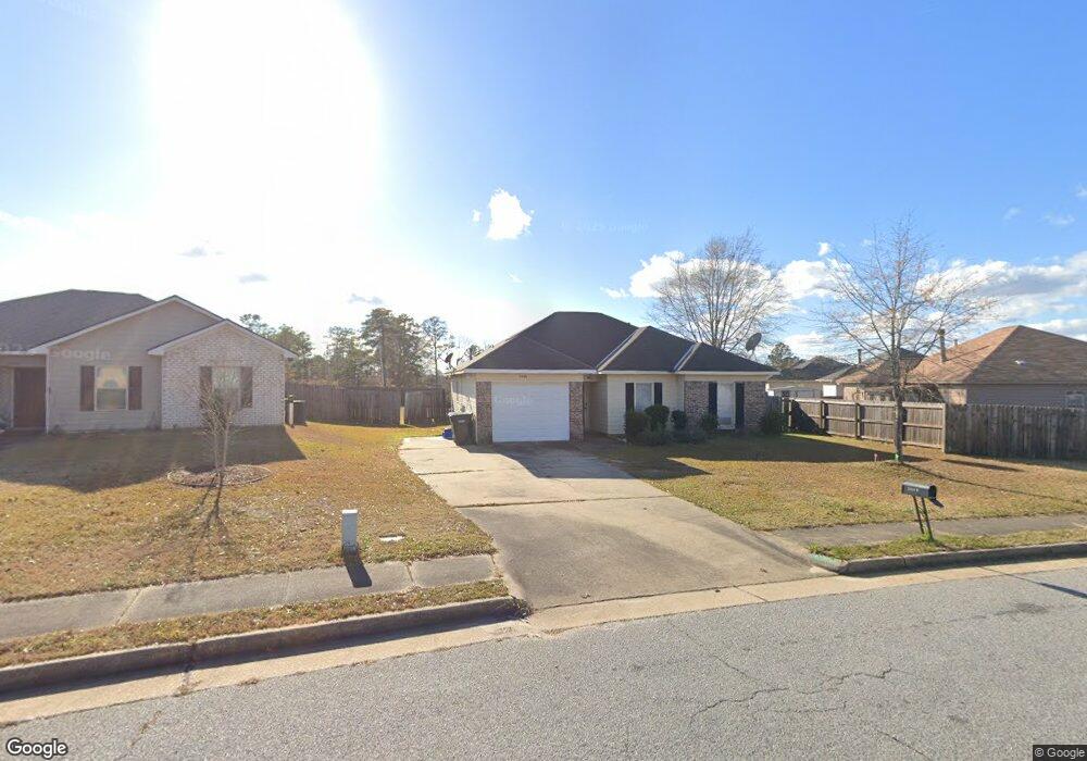
3440 Flintlock Dr Columbus, GA 31907
Eastern Columbus NeighborhoodEstimated Value: $172,000 - $188,000
4
Beds
3
Baths
1,380
Sq Ft
$129/Sq Ft
Est. Value
About This Home
This home is located at 3440 Flintlock Dr, Columbus, GA 31907 and is currently estimated at $177,495, approximately $128 per square foot. 3440 Flintlock Dr is a home located in Muscogee County with nearby schools including Forrest Road Elementary School, Fort Middle School, and Kendrick High School.
Ownership History
Date
Name
Owned For
Owner Type
Purchase Details
Closed on
Aug 31, 2015
Sold by
Zylstra Franklin D
Bought by
Zylstra Properties Llc
Current Estimated Value
Purchase Details
Closed on
Aug 21, 2007
Sold by
Nesmith Craig A and Nesmith Karen A
Bought by
Zylstra Franklin
Home Financials for this Owner
Home Financials are based on the most recent Mortgage that was taken out on this home.
Original Mortgage
$95,200
Interest Rate
6.65%
Mortgage Type
Purchase Money Mortgage
Create a Home Valuation Report for This Property
The Home Valuation Report is an in-depth analysis detailing your home's value as well as a comparison with similar homes in the area
Home Values in the Area
Average Home Value in this Area
Purchase History
| Date | Buyer | Sale Price | Title Company |
|---|---|---|---|
| Zylstra Properties Llc | -- | -- | |
| Zylstra Franklin | $119,000 | None Available |
Source: Public Records
Mortgage History
| Date | Status | Borrower | Loan Amount |
|---|---|---|---|
| Previous Owner | Zylstra Franklin | $95,200 |
Source: Public Records
Tax History Compared to Growth
Tax History
| Year | Tax Paid | Tax Assessment Tax Assessment Total Assessment is a certain percentage of the fair market value that is determined by local assessors to be the total taxable value of land and additions on the property. | Land | Improvement |
|---|---|---|---|---|
| 2025 | $2,237 | $57,148 | $8,804 | $48,344 |
| 2024 | $2,237 | $57,148 | $8,804 | $48,344 |
| 2023 | $2,251 | $57,148 | $8,804 | $48,344 |
| 2022 | $1,922 | $47,068 | $8,804 | $38,264 |
| 2021 | $1,575 | $38,572 | $8,804 | $29,768 |
| 2020 | $1,575 | $38,572 | $8,804 | $29,768 |
| 2019 | $1,580 | $38,572 | $8,804 | $29,768 |
| 2018 | $1,580 | $38,572 | $8,804 | $29,768 |
| 2017 | $1,585 | $38,572 | $8,804 | $29,768 |
| 2016 | $1,962 | $47,568 | $7,200 | $40,368 |
| 2015 | $1,965 | $47,568 | $7,200 | $40,368 |
| 2014 | $1,967 | $47,568 | $7,200 | $40,368 |
| 2013 | -- | $47,568 | $7,200 | $40,368 |
Source: Public Records
Map
Nearby Homes
- 2672 Honeysuckle Dr
- 2942 Poppy Seed Loop
- 2708 Courtland Ave
- 3041 Waddell Dr
- 6028 Caribou Dr
- 6000 Caribou Dr
- 6059 Nassau Cir
- 5906 Forrest Rd
- 6916 Bradshaw Dr
- 3301 Musket Dr
- 3027 Lansing Ave
- 6636 Foxboro Dr
- 2525 Corineth Dr
- 5929 Gleneden Dr
- 2940 Urban Ave
- 5920 Gleneden Dr
- 5833 Gleneden Dr
- 5642 Boby Dr
- 2807 Doyle Ave
- 1754 Mazor Dr
- 3442 Flintlock Dr
- 2001 Arrow Point Ln
- 2003 Arrow Point Ln
- 3444 Flintlock Dr
- 3443 Flintlock Dr
- 2005 Arrow Point Ln
- 3439 Flintlock Dr
- 3446 Flintlock Dr
- 2911 Eagle Pointe Dr
- 2007 Arrow Point Ln
- 3432 Flintlock Dr
- 3437 Flintlock Dr
- 6141 Crossbow Dr
- 2915 Eagle Pointe Dr
- 2009 Arrow Point Ln
- 3435 Flintlock Dr
- 2919 Eagle Pointe Dr
- 2011 Arrow Point Ln
- 3428 Flintlock Dr
- 3431 Flintlock Dr