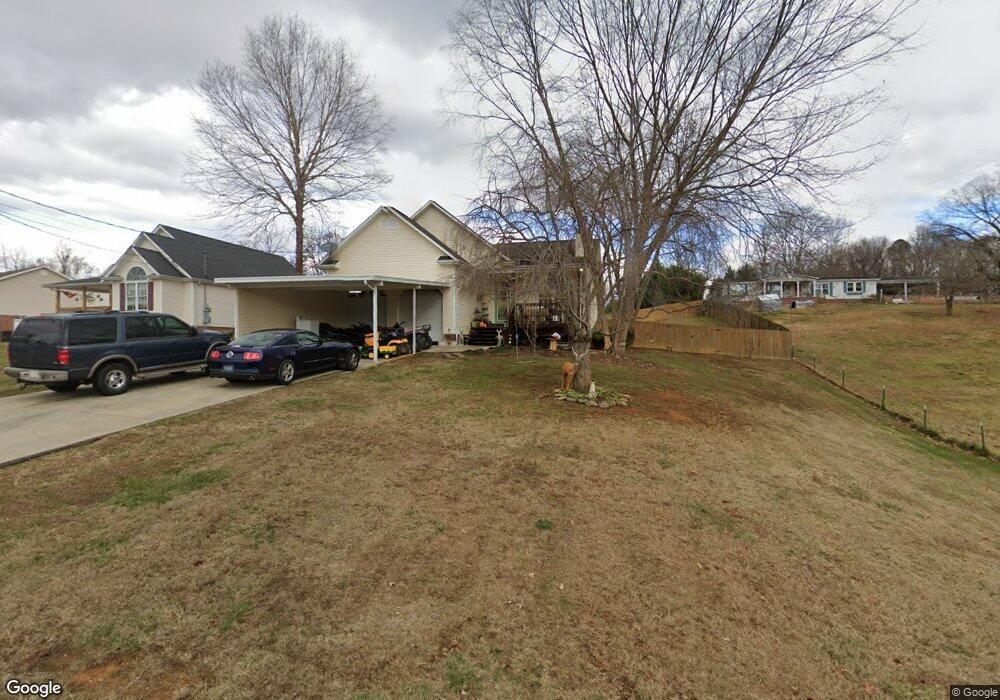
345 Center Dr Blountville, TN 37617
Estimated Value: $286,129 - $468,000
3
Beds
2
Baths
1,361
Sq Ft
$266/Sq Ft
Est. Value
About This Home
This home is located at 345 Center Dr, Blountville, TN 37617 and is currently estimated at $362,282, approximately $266 per square foot. 345 Center Dr is a home located in Sullivan County with nearby schools including Holston Elementary School, Sullivan Central Middle School, and Tri-Cities Christian Academy.
Ownership History
Date
Name
Owned For
Owner Type
Purchase Details
Closed on
Apr 15, 2009
Sold by
Bellamy Marlin T
Bought by
Bellamy Marlin T
Current Estimated Value
Home Financials for this Owner
Home Financials are based on the most recent Mortgage that was taken out on this home.
Original Mortgage
$156,593
Outstanding Balance
$99,363
Interest Rate
5.01%
Estimated Equity
$262,919
Purchase Details
Closed on
Jan 6, 2003
Sold by
Bellamy Lucinda D
Bought by
Bellamy Marlin T
Home Financials for this Owner
Home Financials are based on the most recent Mortgage that was taken out on this home.
Original Mortgage
$123,675
Interest Rate
6.16%
Mortgage Type
VA
Purchase Details
Closed on
Feb 23, 2001
Sold by
Impact Builders
Bought by
Wingard L A
Create a Home Valuation Report for This Property
The Home Valuation Report is an in-depth analysis detailing your home's value as well as a comparison with similar homes in the area
Home Values in the Area
Average Home Value in this Area
Purchase History
| Date | Buyer | Sale Price | Title Company |
|---|---|---|---|
| Bellamy Marlin T | -- | -- | |
| Bellamy Marlin T | -- | -- | |
| Wingard L A | $119,500 | -- |
Source: Public Records
Mortgage History
| Date | Status | Borrower | Loan Amount |
|---|---|---|---|
| Open | Wingard L A | $156,593 | |
| Previous Owner | Wingard L A | $123,675 |
Source: Public Records
Tax History Compared to Growth
Tax History
| Year | Tax Paid | Tax Assessment Tax Assessment Total Assessment is a certain percentage of the fair market value that is determined by local assessors to be the total taxable value of land and additions on the property. | Land | Improvement |
|---|---|---|---|---|
| 2024 | $1,008 | $40,400 | $4,775 | $35,625 |
| 2023 | $972 | $40,400 | $4,775 | $35,625 |
| 2022 | $972 | $40,400 | $4,775 | $35,625 |
| 2021 | $972 | $40,400 | $4,775 | $35,625 |
| 2020 | $1,013 | $40,400 | $4,775 | $35,625 |
| 2019 | $1,013 | $39,400 | $4,775 | $34,625 |
| 2018 | $1,005 | $39,400 | $4,775 | $34,625 |
| 2017 | $1,005 | $39,400 | $4,775 | $34,625 |
| 2016 | $992 | $38,525 | $4,775 | $33,750 |
| 2014 | $888 | $38,537 | $0 | $0 |
Source: Public Records
Map
Nearby Homes
- 780 Hamilton Rd Unit 6
- 780 Hamilton Rd Unit I-4
- 1033 Haw Ridge Rd
- 225 Forest Ln N
- 145 Grande Harbor Way
- 112 Cardinal Point
- 205 Forest Ct
- 164 Forest Ln N
- 156 Forest Ln N
- 148 Forest Ln S
- 205 Grande Harbor Way
- 191 Grande Harbor Way
- 290 Candy Creek Private Dr
- 500 Geisler Rd
- 341 Haw Ridge Rd E
- 417 Cope Rd
- 200 Deck Ln Unit 1105
- 200 Deck Ln Unit 803
- 200 Deck Ln Unit 802
- 200 Deck Ln Unit 801