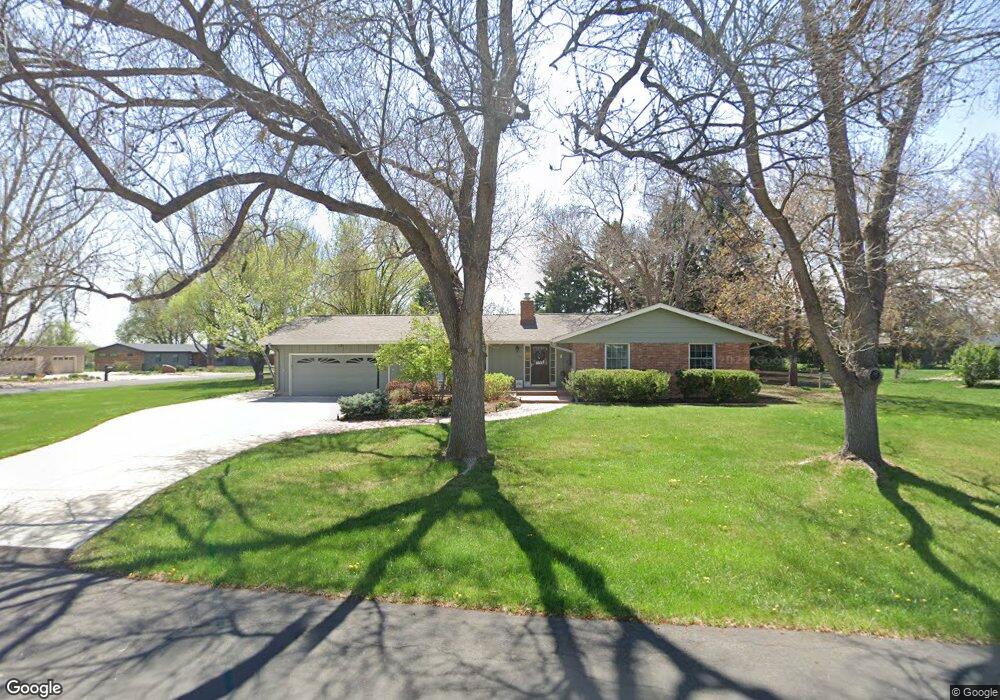
345 Nicklaus Ct Fort Collins, CO 80525
Estimated Value: $790,000 - $1,057,000
5
Beds
3
Baths
2,850
Sq Ft
$316/Sq Ft
Est. Value
About This Home
This home is located at 345 Nicklaus Ct, Fort Collins, CO 80525 and is currently estimated at $899,746, approximately $315 per square foot. 345 Nicklaus Ct is a home located in Larimer County with nearby schools including Werner Elementary School, Preston Middle School, and Fossil Ridge High School.
Ownership History
Date
Name
Owned For
Owner Type
Purchase Details
Closed on
Aug 15, 2001
Sold by
Dodd Craig A and Dodd Leeann A
Bought by
Hayes Brian J and Hayes Teri L
Current Estimated Value
Home Financials for this Owner
Home Financials are based on the most recent Mortgage that was taken out on this home.
Original Mortgage
$141,250
Interest Rate
7.14%
Purchase Details
Closed on
Sep 17, 1998
Sold by
Jackson Jerry W
Bought by
Dodd Craig A and Dodd Leeann
Home Financials for this Owner
Home Financials are based on the most recent Mortgage that was taken out on this home.
Original Mortgage
$194,400
Interest Rate
6.93%
Create a Home Valuation Report for This Property
The Home Valuation Report is an in-depth analysis detailing your home's value as well as a comparison with similar homes in the area
Home Values in the Area
Average Home Value in this Area
Purchase History
| Date | Buyer | Sale Price | Title Company |
|---|---|---|---|
| Hayes Brian J | $277,600 | Security Title | |
| Dodd Craig A | $243,000 | North American Title Co |
Source: Public Records
Mortgage History
| Date | Status | Borrower | Loan Amount |
|---|---|---|---|
| Closed | Hayes Brian J | $141,250 | |
| Previous Owner | Dodd Craig A | $194,400 |
Source: Public Records
Tax History Compared to Growth
Tax History
| Year | Tax Paid | Tax Assessment Tax Assessment Total Assessment is a certain percentage of the fair market value that is determined by local assessors to be the total taxable value of land and additions on the property. | Land | Improvement |
|---|---|---|---|---|
| 2025 | $5,342 | $58,350 | $5,025 | $53,325 |
| 2024 | $5,090 | $58,350 | $5,025 | $53,325 |
| 2022 | $4,162 | $43,167 | $5,213 | $37,954 |
| 2021 | $4,208 | $44,409 | $5,363 | $39,046 |
| 2020 | $3,700 | $38,718 | $5,363 | $33,355 |
| 2019 | $3,715 | $38,718 | $5,363 | $33,355 |
| 2018 | $2,815 | $30,226 | $5,400 | $24,826 |
| 2017 | $2,806 | $30,226 | $5,400 | $24,826 |
| 2016 | $2,519 | $27,000 | $5,970 | $21,030 |
| 2015 | $2,500 | $27,000 | $5,970 | $21,030 |
| 2014 | $2,140 | $22,960 | $5,970 | $16,990 |
Source: Public Records
Map
Nearby Homes
- 4500 Stover St
- 4501 Boardwalk Dr
- 631 Sandreed Ct
- 4502 E Boardwalk Dr
- 4560 Seaboard Ln
- 4579 Seaboard Ln
- 4271 Southshore Ct
- 818 Maxwell Ct
- 4858 S College Ave
- 4506 Seaway Cir
- 5213 Castle Ridge Place
- 613 Breakwater Dr
- 4245 Boardwalk Dr Unit 5
- 5220 Boardwalk Dr
- 5220 Boardwalk Dr Unit I21
- 1149 Valley Oak Ct
- 1119 Live Oak Ct
- 117 Cameron Dr
- 1140 Red Oak Ct
- 4545 Wheaton Dr Unit B210