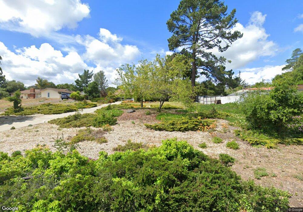
345 Saint Andrews Way Lompoc, CA 93436
Estimated Value: $823,879 - $1,013,000
3
Beds
3
Baths
2,282
Sq Ft
$397/Sq Ft
Est. Value
About This Home
This home is located at 345 Saint Andrews Way, Lompoc, CA 93436 and is currently estimated at $905,720, approximately $396 per square foot. 345 Saint Andrews Way is a home located in Santa Barbara County with nearby schools including Buena Vista Elementary School, Cabrillo High School, and Olive Grove Charter - Lompoc.
Ownership History
Date
Name
Owned For
Owner Type
Purchase Details
Closed on
Nov 16, 2011
Sold by
Nash Richard M and Nash Carol F
Bought by
Nash Richard M and Nash Carol F
Current Estimated Value
Purchase Details
Closed on
Sep 5, 1995
Sold by
Lee Betty Jane and Lee Robert L
Bought by
Nash Richard M and Nash Carol F
Home Financials for this Owner
Home Financials are based on the most recent Mortgage that was taken out on this home.
Original Mortgage
$200,000
Interest Rate
7.88%
Create a Home Valuation Report for This Property
The Home Valuation Report is an in-depth analysis detailing your home's value as well as a comparison with similar homes in the area
Home Values in the Area
Average Home Value in this Area
Purchase History
| Date | Buyer | Sale Price | Title Company |
|---|---|---|---|
| Nash Richard M | -- | None Available | |
| Nash Richard M | $252,000 | First American Title |
Source: Public Records
Mortgage History
| Date | Status | Borrower | Loan Amount |
|---|---|---|---|
| Previous Owner | Nash Richard M | $200,000 |
Source: Public Records
Tax History Compared to Growth
Tax History
| Year | Tax Paid | Tax Assessment Tax Assessment Total Assessment is a certain percentage of the fair market value that is determined by local assessors to be the total taxable value of land and additions on the property. | Land | Improvement |
|---|---|---|---|---|
| 2025 | $4,882 | $418,613 | $141,195 | $277,418 |
| 2023 | $4,882 | $402,360 | $135,713 | $266,647 |
| 2022 | $4,806 | $394,471 | $133,052 | $261,419 |
| 2021 | $4,858 | $386,738 | $130,444 | $256,294 |
| 2020 | $4,809 | $382,774 | $129,107 | $253,667 |
| 2019 | $4,738 | $375,270 | $126,576 | $248,694 |
| 2018 | $4,671 | $367,913 | $124,095 | $243,818 |
| 2017 | $4,503 | $360,700 | $121,662 | $239,038 |
| 2016 | $4,156 | $353,628 | $119,277 | $234,351 |
| 2014 | $4,068 | $341,495 | $115,185 | $226,310 |
Source: Public Records
Map
Nearby Homes
- 384 Falcon Crest Dr
- 298 Saint Andrews Way
- 4021 Muirfield Place
- 579 Saint Andrews Way
- 445 Firestone Way
- 52 Stanford Cir
- 4464 Greenbrier Rd
- 0 Oak Hill Dr Unit 24-783
- 210 Oak Hill Dr
- 4108 Constellation Rd
- 240 Oak Hill Dr
- 4139 Constellation Rd Unit 2
- 129 Hercules Ave
- 113 Gemini Ave
- 3939 Saturn Ave
- 252 Pegasus Ave
- 4490 Sirius Ave
- 3951 Mesa Circle Dr
- 1445 Calle Marana
- 561 Andromeda Dr
- 355 Saint Andrews Way
- 335 Saint Andrews Way
- 327 Saint Andrews Way
- 367 Saint Andrews Way
- 344 Saint Andrews Way
- 352 Saint Andrews Way
- 352 St Andrews Way
- 336 Saint Andrews Way
- 360 Saint Andrews Way
- 328 Saint Andrews Way
- 317 Saint Andrews Way
- 379 Saint Andrews Way
- 379 St Andrews Way
- 368 Saint Andrews Way
- 368 St Andrews Way
- 318 Saint Andrews Way
- 4049 St Andrews Ct
- 4049 Saint Andrews Ct
- 4019 Saint Andrews Ct
- 345 Falcon Crest Dr