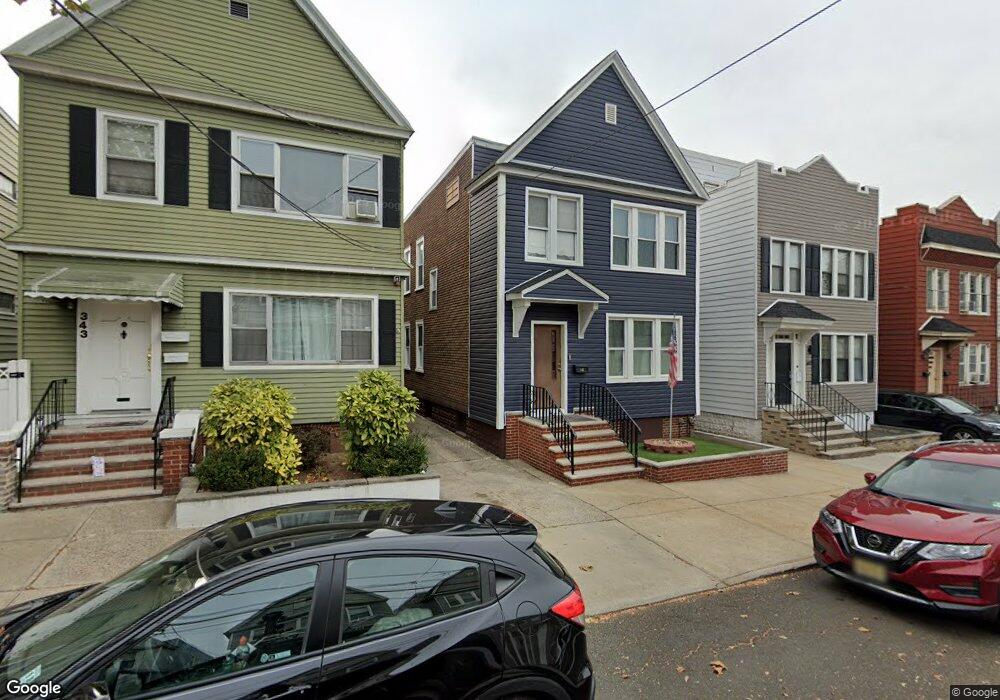
345 Van Nostrand Ave Jersey City, NJ 07305
Greenville NeighborhoodEstimated Value: $574,000 - $834,000
--
Bed
--
Bath
2,080
Sq Ft
$323/Sq Ft
Est. Value
About This Home
This home is located at 345 Van Nostrand Ave, Jersey City, NJ 07305 and is currently estimated at $672,065, approximately $323 per square foot. 345 Van Nostrand Ave is a home located in Hudson County with nearby schools including James F. Murray School - P.S. 38, Henry Snyder High School, and Lincoln High School.
Ownership History
Date
Name
Owned For
Owner Type
Purchase Details
Closed on
Mar 25, 2014
Sold by
Corcia Joseph A and Corcia Bonnie Marie
Bought by
Corcia Joseph A and Corcia Karen
Current Estimated Value
Home Financials for this Owner
Home Financials are based on the most recent Mortgage that was taken out on this home.
Original Mortgage
$202,000
Interest Rate
4.33%
Mortgage Type
New Conventional
Create a Home Valuation Report for This Property
The Home Valuation Report is an in-depth analysis detailing your home's value as well as a comparison with similar homes in the area
Home Values in the Area
Average Home Value in this Area
Purchase History
| Date | Buyer | Sale Price | Title Company |
|---|---|---|---|
| Corcia Joseph A | $270,000 | Agent For Chicago Title Ins |
Source: Public Records
Mortgage History
| Date | Status | Borrower | Loan Amount |
|---|---|---|---|
| Closed | Corcia Joseph A | $202,000 |
Source: Public Records
Tax History Compared to Growth
Tax History
| Year | Tax Paid | Tax Assessment Tax Assessment Total Assessment is a certain percentage of the fair market value that is determined by local assessors to be the total taxable value of land and additions on the property. | Land | Improvement |
|---|---|---|---|---|
| 2025 | $6,782 | $303,700 | $91,900 | $211,800 |
| 2024 | $6,824 | $303,700 | $91,900 | $211,800 |
| 2023 | $6,824 | $303,700 | $91,900 | $211,800 |
| 2022 | $6,432 | $303,700 | $91,900 | $211,800 |
| 2021 | $4,871 | $303,700 | $91,900 | $211,800 |
| 2020 | $4,890 | $303,700 | $91,900 | $211,800 |
| 2019 | $4,677 | $303,700 | $91,900 | $211,800 |
| 2018 | $1,817 | $303,700 | $91,900 | $211,800 |
| 2017 | $9,524 | $122,100 | $22,200 | $99,900 |
| 2016 | $9,403 | $122,100 | $22,200 | $99,900 |
| 2015 | $9,136 | $122,100 | $22,200 | $99,900 |
| 2014 | $8,827 | $122,100 | $22,200 | $99,900 |
Source: Public Records
Map
Nearby Homes
- 378 Woodlawn Ave
- 130 W Side Ave
- 400 Woodlawn Ave
- 142 W Side Ave
- 146 W Side Ave
- 314 Fulton Ave
- 91 Terhune Ave
- 78 Terhune Ave
- 257 Woodlawn Ave
- 16 Stegman Terrace
- 1902 John F. Kennedy Blvd Unit 1
- 1902 John F. Kennedy Blvd Unit 2
- 344 Danforth Ave
- 1904 John F. Kennedy Blvd Unit 4
- 1957 Kennedy Blvd
- 1922 John F. Kennedy Blvd
- 336A Danforth Ave
- 41 Terhune Ave
- 80 Mcadoo Ave
- 80 Mcadoo Ave Unit 2
- 347 Van Nostrand Ave
- 343 Van Nostrand Ave
- 349 Van Nostrand Ave
- 341 Van Nostrand Ave
- 351 Van Nostrand Ave
- 339 Van Nostrand Ave
- 353 Van Nostrand Ave
- 353 Van Nostrand Ave Unit 2
- 337 Van Nostrand Ave
- 278 Stevens Ave Unit 280
- 282 Stevens Ave
- 276 Stevens Ave
- 274 Stevens Ave
- 286 Stevens Ave
- 355 Van Nostrand Ave
- 335 Van Nostrand Ave
- 335 Van Nostrand Ave Unit 1
- 335 Van Nostrand Ave Unit 1st Floor
- 346 Van Nostrand Ave
- 344 Van Nostrand Ave