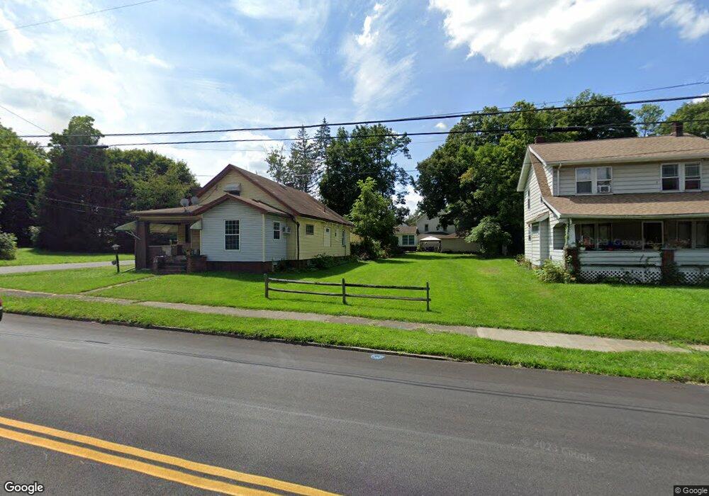
3458 Powers Way Youngstown, OH 44502
Buckeye Plat NeighborhoodEstimated Value: $57,645 - $133,000
--
Bed
3
Baths
--
Sq Ft
5,619
Sq Ft Lot
About This Home
This home is located at 3458 Powers Way, Youngstown, OH 44502 and is currently estimated at $95,323. 3458 Powers Way is a home located in Mahoning County with nearby schools including Paul C. Bunn Elementary School, Chaney High School, and Summit Academy Secondary School - Youngstown.
Ownership History
Date
Name
Owned For
Owner Type
Purchase Details
Closed on
Mar 10, 2015
Sold by
Summerland Gary B
Bought by
Mahoning County Land Reutilization Corpo
Current Estimated Value
Purchase Details
Closed on
Jan 21, 2003
Sold by
William Biasella and Ann Mary
Bought by
Summerland Gary B
Home Financials for this Owner
Home Financials are based on the most recent Mortgage that was taken out on this home.
Original Mortgage
$26,000
Interest Rate
5.87%
Mortgage Type
Credit Line Revolving
Create a Home Valuation Report for This Property
The Home Valuation Report is an in-depth analysis detailing your home's value as well as a comparison with similar homes in the area
Home Values in the Area
Average Home Value in this Area
Purchase History
| Date | Buyer | Sale Price | Title Company |
|---|---|---|---|
| Mahoning County Land Reutilization Corpo | $2,726 | Attorney | |
| Summerland Gary B | $27,900 | -- |
Source: Public Records
Mortgage History
| Date | Status | Borrower | Loan Amount |
|---|---|---|---|
| Previous Owner | Summerland Gary B | $26,000 |
Source: Public Records
Tax History Compared to Growth
Tax History
| Year | Tax Paid | Tax Assessment Tax Assessment Total Assessment is a certain percentage of the fair market value that is determined by local assessors to be the total taxable value of land and additions on the property. | Land | Improvement |
|---|---|---|---|---|
| 2024 | $16 | $330 | $330 | -- |
| 2023 | $16 | $330 | $330 | $0 |
| 2022 | $26 | $420 | $420 | $0 |
| 2021 | $26 | $420 | $420 | $0 |
| 2020 | $27 | $420 | $420 | $0 |
| 2019 | $27 | $380 | $380 | $0 |
| 2018 | $31 | $380 | $380 | $0 |
| 2017 | $27 | $380 | $380 | $0 |
| 2016 | $3 | $380 | $380 | $0 |
| 2015 | $3 | $6,350 | $760 | $5,590 |
| 2014 | $405 | $6,350 | $760 | $5,590 |
| 2013 | $399 | $6,350 | $760 | $5,590 |
Source: Public Records
Map
Nearby Homes
- 3448 Neilson Ave
- 3337 Powers Way
- 3509 Lenox Ave
- 2016 Pointview Ave
- 3222 Sheridan Rd
- 2007 E Midlothian Blvd
- 1954 Everett Ave
- 0 Crescent Dr Unit 5124984
- 1447 Humbolt Ave
- 0 Weston Ave
- 2510 E Midlothian Blvd
- 3551 Shirley Rd
- 1928 Medford Ave
- 2562 Mount Vernon Ave
- 1313 Humbolt Ave
- 2577 E Midlothian Blvd
- 2001 Brownlee Ave
- 1653 Brownlee Ave
- 2743 Mount Vernon Ave
- 1654 Wakefield Ave
- 3452 Powers Way
- 3460 Powers Way
- 3448 Powers Way
- 3446 Powers Way
- 3455 Neilson Ave
- 3451 Neilson Ave
- 3436 Powers Way
- 3510 Powers Way
- 3443 Neilson Ave
- 3503 Neilson Ave
- 3434 Powers Way
- 3509 Neilson Ave
- 3435 Powers Way
- 3439 Neilson Ave
- 3511 Neilson Ave
- 3431 Neilson Ave
- 3428 Powers Way
- 3515 Neilson Ave
- 3521 Powers Way
- 3424 Powers Way