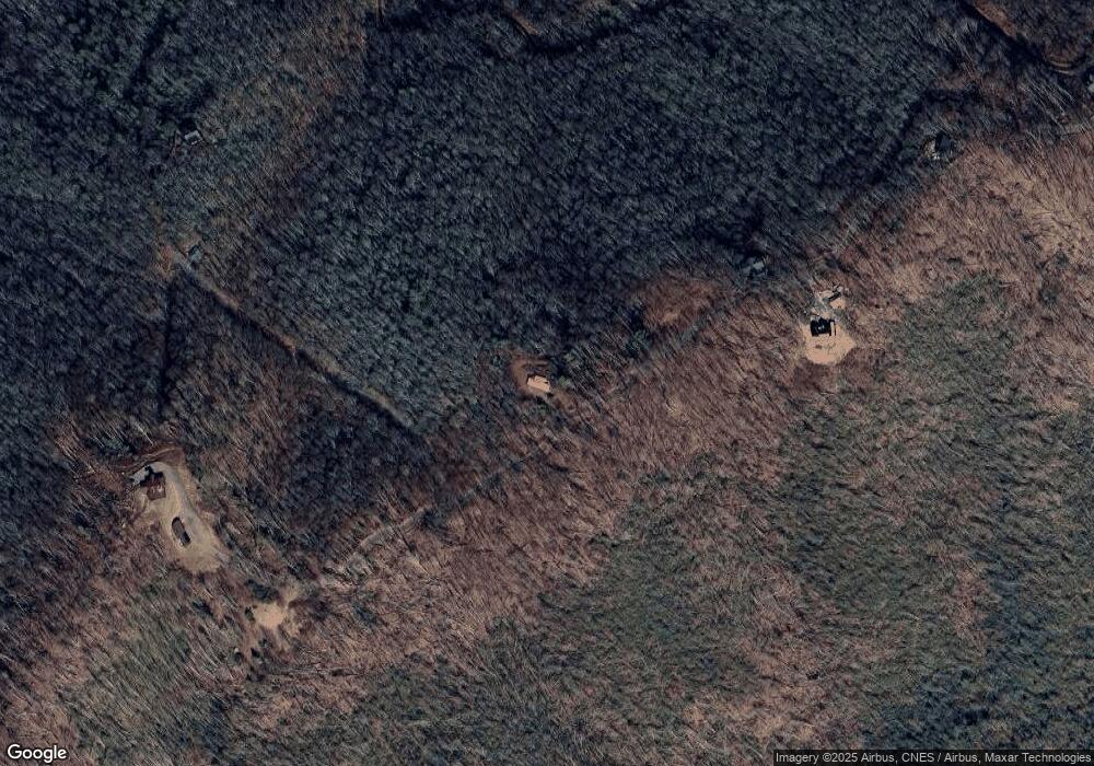
3464 Locust Gap Rd Mountain City, TN 37683
Estimated Value: $195,000 - $318,000
--
Bed
--
Bath
1,176
Sq Ft
$207/Sq Ft
Est. Value
About This Home
This home is located at 3464 Locust Gap Rd, Mountain City, TN 37683 and is currently estimated at $243,312, approximately $206 per square foot. 3464 Locust Gap Rd is a home with nearby schools including Johnson County Middle School and Johnson County High School.
Ownership History
Date
Name
Owned For
Owner Type
Purchase Details
Closed on
Nov 7, 2020
Sold by
Oneal Jimmy and Oneal Ann J
Bought by
Davenport Tony and Davenport Tawyna
Current Estimated Value
Home Financials for this Owner
Home Financials are based on the most recent Mortgage that was taken out on this home.
Original Mortgage
$300,000
Outstanding Balance
$266,957
Interest Rate
2.8%
Mortgage Type
Future Advance Clause Open End Mortgage
Estimated Equity
-$23,645
Purchase Details
Closed on
Feb 24, 1994
Bought by
Thomas Gene Gilles
Purchase Details
Closed on
Aug 15, 1986
Create a Home Valuation Report for This Property
The Home Valuation Report is an in-depth analysis detailing your home's value as well as a comparison with similar homes in the area
Home Values in the Area
Average Home Value in this Area
Purchase History
| Date | Buyer | Sale Price | Title Company |
|---|---|---|---|
| Davenport Tony | $53,000 | None Available | |
| Thomas Gene Gilles | $110,000 | -- | |
| -- | $55,000 | -- |
Source: Public Records
Mortgage History
| Date | Status | Borrower | Loan Amount |
|---|---|---|---|
| Open | Davenport Tony | $300,000 |
Source: Public Records
Tax History Compared to Growth
Tax History
| Year | Tax Paid | Tax Assessment Tax Assessment Total Assessment is a certain percentage of the fair market value that is determined by local assessors to be the total taxable value of land and additions on the property. | Land | Improvement |
|---|---|---|---|---|
| 2024 | $760 | $34,375 | $10,900 | $23,475 |
| 2023 | $760 | $34,375 | $10,900 | $23,475 |
| 2022 | $622 | $34,375 | $10,900 | $23,475 |
| 2021 | $622 | $34,375 | $10,900 | $23,475 |
| 2020 | $623 | $34,375 | $10,900 | $23,475 |
| 2019 | $623 | $30,400 | $10,900 | $19,500 |
| 2018 | $623 | $30,400 | $10,900 | $19,500 |
| 2017 | $623 | $30,400 | $10,900 | $19,500 |
| 2016 | $623 | $30,400 | $10,900 | $19,500 |
| 2015 | $550 | $30,400 | $10,900 | $19,500 |
| 2014 | $534 | $29,525 | $10,900 | $18,625 |
Source: Public Records
Map
Nearby Homes
- 210 Arrowhead Dr
- TBD Locust Gap Rd
- 342 Locust Gap Rd
- Lot 3 Locust Gap Rd
- Lot 2 Locust Gap Rd
- 1980 Mountaindale Rd
- 876 Courtney Ln
- 887 Mill Creek Rd
- 5931 Big Dry Run Rd
- Tbd Big Dry Run Rd
- 937 Big Dry Run Rd
- 3972 Big Dry Run Rd
- 810 Big Dry Run Rd
- 178 John Shell Rd Unit 240
- Lot 4 Valley View Dr
- Tbd Preserve Way
- tbd Bethel Rd
- 6646 Roan Creek Rd
- 531 Preserve Way
- 315 Shaw Ward Rd
- 3300 Locust Gap Rd
- 985 Locust Gap Rd
- 3500 Locust Gap Rd
- 3500 Locust Gap Rd
- 3500 Locust Gap Rd
- 389 Cherokee Cove Dr
- 1389 Locust Gap Rd
- 00 Cove Camp Dr
- TBD Cove Camp Dr
- 379 Cherokee Cove Private Dr
- 432 Cherokee Cove Dr
- 432 Cherokee Cove Private Dr
- 264 Arrowhead
- 210 Arrowhead Trail
- 2620 Locust Gap Rd
- 214 Arrow Head Private Dr
- 290 Cove Camp Dr
- 366 John Cornett Rd
- 389 Cherokee Cove Private Dr
- 5544 Bamboo Rd
