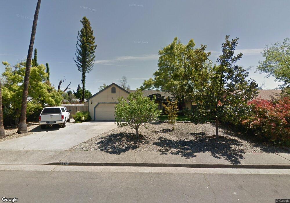
347 Moonstone Way Unit 1B Redding, CA 96003
Lake Redding NeighborhoodEstimated Value: $347,000 - $391,000
3
Beds
2
Baths
1,378
Sq Ft
$269/Sq Ft
Est. Value
About This Home
This home is located at 347 Moonstone Way Unit 1B, Redding, CA 96003 and is currently estimated at $370,569, approximately $268 per square foot. 347 Moonstone Way Unit 1B is a home located in Shasta County with nearby schools including Turtle Bay, Sequoia Middle School, and Shasta High School.
Ownership History
Date
Name
Owned For
Owner Type
Purchase Details
Closed on
Mar 30, 2011
Sold by
Dodge Peter P and Dodge Janet C
Bought by
Dodge Peter and Dodge Janet
Current Estimated Value
Purchase Details
Closed on
Dec 12, 2000
Sold by
Peel Esther Mae Living Trust and Mae Esther Mae
Bought by
Dodge Peter P and Dodge Janet C
Home Financials for this Owner
Home Financials are based on the most recent Mortgage that was taken out on this home.
Original Mortgage
$99,200
Outstanding Balance
$36,583
Interest Rate
7.71%
Estimated Equity
$333,987
Purchase Details
Closed on
Dec 1, 1997
Sold by
Peel Esther M
Bought by
Peel Esther Mae
Purchase Details
Closed on
Jul 17, 1997
Sold by
Trust Kemper George W & Letitia C Family and Kemper Letitia C
Bought by
Peel Esther M
Create a Home Valuation Report for This Property
The Home Valuation Report is an in-depth analysis detailing your home's value as well as a comparison with similar homes in the area
Home Values in the Area
Average Home Value in this Area
Purchase History
| Date | Buyer | Sale Price | Title Company |
|---|---|---|---|
| Dodge Peter | -- | None Available | |
| Dodge Peter P | $124,000 | Placer Title Company | |
| Peel Esther Mae | -- | -- | |
| Peel Esther M | $106,000 | Placer Title Company |
Source: Public Records
Mortgage History
| Date | Status | Borrower | Loan Amount |
|---|---|---|---|
| Open | Dodge Peter P | $99,200 |
Source: Public Records
Tax History Compared to Growth
Tax History
| Year | Tax Paid | Tax Assessment Tax Assessment Total Assessment is a certain percentage of the fair market value that is determined by local assessors to be the total taxable value of land and additions on the property. | Land | Improvement |
|---|---|---|---|---|
| 2025 | $2,101 | $208,672 | $45,191 | $163,481 |
| 2024 | $2,068 | $204,581 | $44,305 | $160,276 |
| 2023 | $2,068 | $200,571 | $43,437 | $157,134 |
| 2022 | $2,031 | $196,639 | $42,586 | $154,053 |
| 2021 | $2,020 | $192,784 | $41,751 | $151,033 |
| 2020 | $2,046 | $190,808 | $41,323 | $149,485 |
| 2019 | $1,941 | $187,067 | $40,513 | $146,554 |
| 2018 | $1,957 | $183,400 | $39,719 | $143,681 |
| 2017 | $1,945 | $179,805 | $38,941 | $140,864 |
| 2016 | $1,881 | $176,280 | $38,178 | $138,102 |
| 2015 | $1,856 | $173,633 | $37,605 | $136,028 |
| 2014 | $1,843 | $170,233 | $36,869 | $133,364 |
Source: Public Records
Map
Nearby Homes
- 418 Moonstone Way
- 2872 Harlan Dr
- 476 Aquamarine Way
- 490 Turquoise Ct
- 2350 Amethyst Way
- 2520 Snow Ln
- 656 West St
- 625 Mary St
- 802 Palatine Ct
- 866 Palatine Ct
- 1840 8th St
- 811 Santa Cruz Dr
- 815 Santa Cruz Dr
- 820 Santa Cruz Dr
- 830 West St
- 3410 Scenic Dr
- 824 Santa Cruz Dr
- 827 Santa Cruz Dr
- 3330 Scenic Dr
- 835 Santa Cruz Dr
- 369 Moonstone Way
- 313 Moonstone Way
- 2985 Harlan Dr Unit 1B
- 285 Moonstone Way
- 2953 Amethyst Way
- 344 Moonstone Way
- 366 Moonstone Way
- 2969 Amethyst Way
- 310 Moonstone Way
- 3011 Harlan Dr
- 253 Moonstone Way
- 2937 Amethyst Way
- 280 Moonstone Way
- 2985 Amethyst Way
- 2921 Amethyst Way
- 2978 Harlan Dr
- 361 Bedrock Ln Unit 1B
- 2996 Lake Redding Dr Unit 1B
- 250 Moonstone Way
- 3033 Harlan Dr