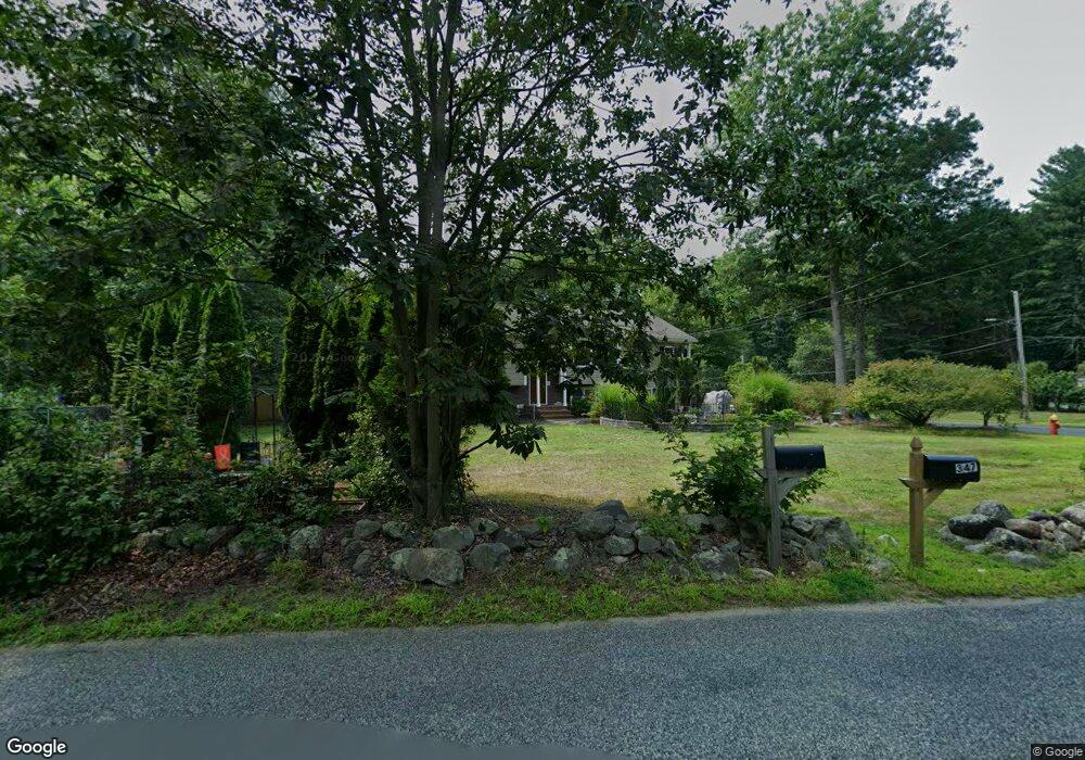
347 Oak St Mansfield, MA 02048
Estimated Value: $723,513 - $873,000
3
Beds
1
Bath
1,864
Sq Ft
$419/Sq Ft
Est. Value
About This Home
This home is located at 347 Oak St, Mansfield, MA 02048 and is currently estimated at $780,628, approximately $418 per square foot. 347 Oak St is a home located in Bristol County with nearby schools including Everett W. Robinson Elementary School, Jordan/Jackson Elementary School, and Harold L. Qualters Middle School.
Ownership History
Date
Name
Owned For
Owner Type
Purchase Details
Closed on
May 6, 1996
Sold by
Elchuck Frank S
Bought by
King Matthew E and King Cathy C
Current Estimated Value
Create a Home Valuation Report for This Property
The Home Valuation Report is an in-depth analysis detailing your home's value as well as a comparison with similar homes in the area
Home Values in the Area
Average Home Value in this Area
Purchase History
| Date | Buyer | Sale Price | Title Company |
|---|---|---|---|
| King Matthew E | $146,350 | -- |
Source: Public Records
Mortgage History
| Date | Status | Borrower | Loan Amount |
|---|---|---|---|
| Open | King Matthew E | $230,000 | |
| Closed | King Matthew E | $48,600 | |
| Closed | King Matthew E | $190,000 |
Source: Public Records
Tax History
| Year | Tax Paid | Tax Assessment Tax Assessment Total Assessment is a certain percentage of the fair market value that is determined by local assessors to be the total taxable value of land and additions on the property. | Land | Improvement |
|---|---|---|---|---|
| 2025 | $9,111 | $691,800 | $275,000 | $416,800 |
| 2024 | $8,346 | $618,200 | $262,500 | $355,700 |
| 2023 | $8,076 | $573,200 | $262,500 | $310,700 |
| 2022 | $7,782 | $513,000 | $243,100 | $269,900 |
| 2021 | $7,718 | $502,500 | $231,500 | $271,000 |
| 2020 | $7,384 | $480,700 | $202,600 | $278,100 |
| 2019 | $7,167 | $470,900 | $192,800 | $278,100 |
| 2018 | $6,651 | $440,900 | $184,000 | $256,900 |
| 2017 | $6,615 | $440,400 | $178,800 | $261,600 |
| 2016 | $6,543 | $424,600 | $170,100 | $254,500 |
| 2015 | $5,211 | $336,200 | $170,100 | $166,100 |
Source: Public Records
Map
Nearby Homes
- 2 Oak St Unit 2B
- 44 Surrey Dr
- 451R Gilbert St
- 143 Oak St Unit 10
- 71 Richardson Ave
- 343 Godfrey Dr
- 101 Godfrey Dr Unit 101
- 250 Mansfield Ave Unit 11
- 14 Claire Ave
- 10 Walter St
- 10 Anna Way
- 5 Village Way Unit C
- 157 Mansfield Ave Unit 27
- 157 Mansfield Ave Unit 14
- 150 Gilbert St
- 345 Richardson Ave
- 17 Village Way Unit F
- 49 Pheasant Hill Rd
- 85 Jewell St
- 5 Robin Cir Unit 5
Your Personal Tour Guide
Ask me questions while you tour the home.