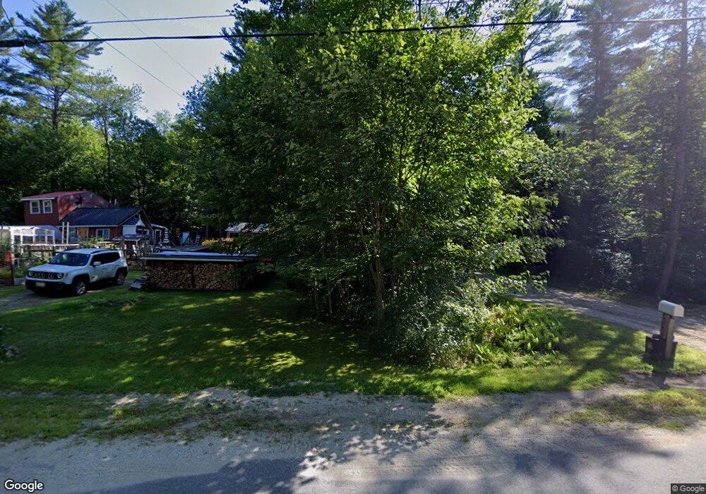
347 Redding Rd Sumner, ME 04292
Estimated Value: $123,000 - $360,000
Studio
--
Bath
720
Sq Ft
$382/Sq Ft
Est. Value
About This Home
This home is located at 347 Redding Rd, Sumner, ME 04292 and is currently estimated at $274,941, approximately $381 per square foot. 347 Redding Rd is a home with nearby schools including Hartford-Sumner Elementary School and Buckfield Junior/Senior High School.
Create a Home Valuation Report for This Property
The Home Valuation Report is an in-depth analysis detailing your home's value as well as a comparison with similar homes in the area
Tax History
| Year | Tax Paid | Tax Assessment Tax Assessment Total Assessment is a certain percentage of the fair market value that is determined by local assessors to be the total taxable value of land and additions on the property. | Land | Improvement |
|---|---|---|---|---|
| 2025 | $4,634 | $297,067 | $54,469 | $242,598 |
| 2024 | $3,862 | $297,067 | $54,469 | $242,598 |
| 2023 | $3,586 | $169,938 | $36,430 | $133,508 |
| 2022 | $3,509 | $169,938 | $36,430 | $133,508 |
| 2021 | $3,509 | $169,938 | $36,430 | $133,508 |
| 2020 | $3,509 | $169,938 | $36,430 | $133,508 |
| 2019 | $3,458 | $169,938 | $36,430 | $133,508 |
| 2018 | $3,280 | $169,938 | $36,430 | $133,508 |
| 2017 | $3,110 | $169,938 | $36,430 | $133,508 |
| 2016 | $2,880 | $169,938 | $36,430 | $133,508 |
| 2015 | $2,787 | $169,938 | $36,430 | $133,508 |
| 2014 | $2,719 | $169,938 | $36,430 | $133,508 |
| 2013 | $2,668 | $169,938 | $36,430 | $133,508 |
Source: Public Records
Map
Nearby Homes
- M19 L6-6 Tuell Hill Rd
- 1443 Main St
- 15 Front St
- 20 Front St
- 42 Front St
- R12-010 Main St
- 729 Main St
- M13L18A-1 Redding Rd
- 585 Main St
- 67 Fields Hill Rd
- 20 Kittridge Brook Rd
- Lot#32 Beech Ridge Ln
- 409 Gammon Rd
- Lots 10&11 Davenport Rd
- 71 Mountain View Dr
- 418 E Shore Rd
- 0 Andrews Rd
- L14 Concord Pond Rd
- 240 Darrington Rd
- Lot 56 S Main St
- 337 Redding Rd
- 341 Redding Rd
- 329 Redding Rd
- 357 Redding Rd
- 315 Redding Rd
- 365 Redding Rd
- 389 Redding Rd
- 15 Abbott Pond Rd
- 279 Redding Rd
- 267 Redding Rd
- tbd Tuell Hill Rd
- 434 Redding Rd
- 519 Tuell Hill Rd
- 46 Redding Rd
- 377 Redding Rd
- 377 Redding Rd
- 436 Redding Rd
- 494 Tuell Hill Rd
- 465 Tuell Hill Rd
- 468 Redding Rd
Your Personal Tour Guide
Ask me questions while you tour the home.