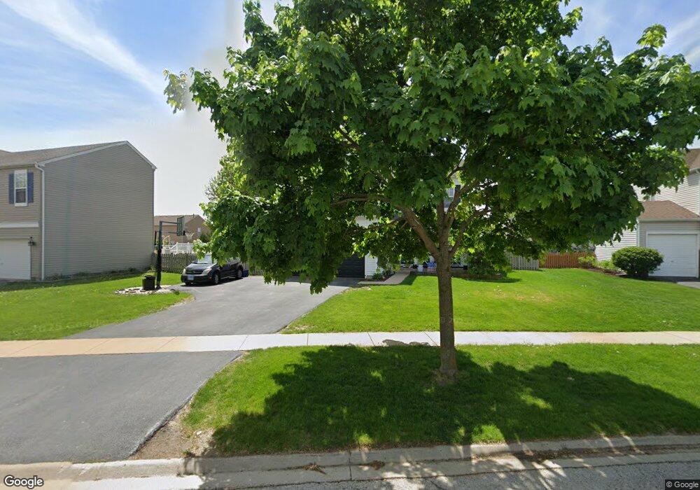
348 Aster Dr Minooka, IL 60447
Estimated Value: $345,533 - $378,000
Studio
--
Bath
2,041
Sq Ft
$180/Sq Ft
Est. Value
About This Home
This home is located at 348 Aster Dr, Minooka, IL 60447 and is currently estimated at $367,633, approximately $180 per square foot. 348 Aster Dr is a home with nearby schools including Minooka Primary Center, Minooka Elementary School, and Minooka Junior High School.
Ownership History
Date
Name
Owned For
Owner Type
Purchase Details
Closed on
Jun 28, 2022
Sold by
Sandula John M and Sandula Sarah
Bought by
Sandula John M
Current Estimated Value
Home Financials for this Owner
Home Financials are based on the most recent Mortgage that was taken out on this home.
Original Mortgage
$240,130
Outstanding Balance
$228,257
Interest Rate
4.99%
Mortgage Type
New Conventional
Estimated Equity
$139,376
Create a Home Valuation Report for This Property
The Home Valuation Report is an in-depth analysis detailing your home's value as well as a comparison with similar homes in the area
Purchase History
| Date | Buyer | Sale Price | Title Company |
|---|---|---|---|
| Sandula John M | -- | None Listed On Document |
Source: Public Records
Mortgage History
| Date | Status | Borrower | Loan Amount |
|---|---|---|---|
| Open | Sandula John M | $240,130 |
Source: Public Records
Tax History
| Year | Tax Paid | Tax Assessment Tax Assessment Total Assessment is a certain percentage of the fair market value that is determined by local assessors to be the total taxable value of land and additions on the property. | Land | Improvement |
|---|---|---|---|---|
| 2024 | $8,312 | $103,625 | $11,060 | $92,565 |
| 2023 | $7,576 | $94,453 | $10,081 | $84,372 |
| 2022 | $6,563 | $87,822 | $9,373 | $78,449 |
| 2021 | $6,283 | $83,134 | $8,873 | $74,261 |
| 2020 | $6,127 | $79,525 | $8,488 | $71,037 |
| 2019 | $5,784 | $73,634 | $7,859 | $65,775 |
| 2018 | $4,439 | $56,646 | $7,771 | $48,875 |
| 2017 | $4,303 | $54,093 | $7,421 | $46,672 |
| 2016 | $3,708 | $50,777 | $6,966 | $43,811 |
| 2015 | $3,768 | $46,157 | $6,332 | $39,825 |
| 2014 | $4,075 | $58,176 | $14,327 | $43,849 |
| 2013 | $4,188 | $58,960 | $14,520 | $44,440 |
Source: Public Records
Map
Nearby Homes
- 330 Clover Cir
- 332 Clover Cir
- 334 Clover Cir
- 336 Clover Cir
- 1105 Clover Dr
- 1137 S Wabena Ave
- 1138 Coneflower Ct
- 520 High Grove Dr
- 526 Lily Ct
- VL Mcevilly Rd
- 805 Edgewater Dr
- 800 Maplewood Dr
- 1429 Levato Ln
- 714 Joanne Dr
- LOT 28 O Toole Dr
- 1509 Donegal Dr
- 706 O Toole Dr
- 1552 Bluestem Ln
- 25136 Westwind Dr
- 25140 Westwind Dr
- 344 Aster Dr
- 352 Aster Dr
- 340 Aster Dr
- 317 Golden Rod Dr
- 321 Golden Rod Dr
- 349 Aster Dr
- 325 Golden Rod Dr
- 353 Aster Dr
- 336 Aster Dr
- 313 Golden Rod Dr
- 345 Aster Dr
- 341 Aster Dr
- 309 Golden Rod Dr
- 1041 Clover Dr
- 332 Aster Dr
- 1054 Clover Dr
- 337 Aster Dr
- 1043 Clover Dr Unit 1043
- 1043 Clover Dr
- 1056 Clover Dr
Your Personal Tour Guide
Ask me questions while you tour the home.