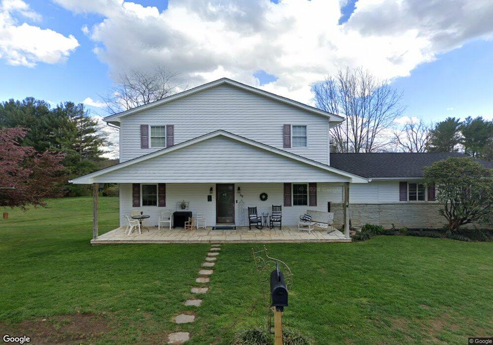
348 Walnut Trail Bristol, TN 37620
Walnut Hill NeighborhoodEstimated Value: $295,191 - $333,000
Studio
2
Baths
2,500
Sq Ft
$125/Sq Ft
Est. Value
About This Home
This home is located at 348 Walnut Trail, Bristol, TN 37620 and is currently estimated at $312,548, approximately $125 per square foot. 348 Walnut Trail is a home located in Sullivan County with nearby schools including Holston Elementary School, Sullivan Central Middle School, and Tri-Cities Christian School.
Ownership History
Date
Name
Owned For
Owner Type
Purchase Details
Closed on
Sep 18, 2020
Sold by
Rogers Michael D and Rogers Victoria
Bought by
Kuykendall Katherine Renee and Kuykendall Adam Joseph
Current Estimated Value
Home Financials for this Owner
Home Financials are based on the most recent Mortgage that was taken out on this home.
Original Mortgage
$200,000
Outstanding Balance
$176,340
Interest Rate
2.8%
Mortgage Type
New Conventional
Estimated Equity
$136,208
Purchase Details
Closed on
Mar 9, 2000
Create a Home Valuation Report for This Property
The Home Valuation Report is an in-depth analysis detailing your home's value as well as a comparison with similar homes in the area
Home Values in the Area
Average Home Value in this Area
Purchase History
| Date | Buyer | Sale Price | Title Company |
|---|---|---|---|
| Kuykendall Katherine Renee | $200,000 | Ecu Title And Escrow | |
| -- | $41,500 | -- |
Source: Public Records
Mortgage History
| Date | Status | Borrower | Loan Amount |
|---|---|---|---|
| Open | Kuykendall Katherine Renee | $200,000 |
Source: Public Records
Tax History
| Year | Tax Paid | Tax Assessment Tax Assessment Total Assessment is a certain percentage of the fair market value that is determined by local assessors to be the total taxable value of land and additions on the property. | Land | Improvement |
|---|---|---|---|---|
| 2025 | $1,576 | $97,725 | $2,550 | $95,175 |
| 2024 | $1,190 | $47,675 | $2,225 | $45,450 |
| 2023 | $1,147 | $47,675 | $2,225 | $45,450 |
| 2022 | $1,147 | $47,675 | $2,225 | $45,450 |
| 2021 | $1,147 | $47,675 | $2,225 | $45,450 |
| 2020 | $930 | $47,675 | $2,225 | $45,450 |
| 2019 | $930 | $36,200 | $2,225 | $33,975 |
| 2018 | $923 | $36,200 | $2,225 | $33,975 |
| 2017 | $923 | $36,200 | $2,225 | $33,975 |
| 2016 | $809 | $31,425 | $2,225 | $29,200 |
| 2014 | $724 | $31,408 | $0 | $0 |
Source: Public Records
Map
Nearby Homes
- 1441 Highway 126
- 1476 Tennessee 126 Unit A1
- 237 Paramount Dr
- 270 Alders Place Extension
- 146 Carlton Rd
- 324 Upland Way
- 2132 5th St
- 120 Rock Rd
- 545 Old Stage Trail
- 1129 Tennessee 126
- Tba Blountville Hwy
- 124 Cross Community Rd
- 788 Meadow View Rd
- 1077 Highway 126
- 258 Blackburn Cir
- 2069 Highway 11w
- 222 Old Stage Dr
- TBD Meadow View Rd
- 122 Tiffany Ln
- 274 Old Stage Trail
Your Personal Tour Guide
Ask me questions while you tour the home.