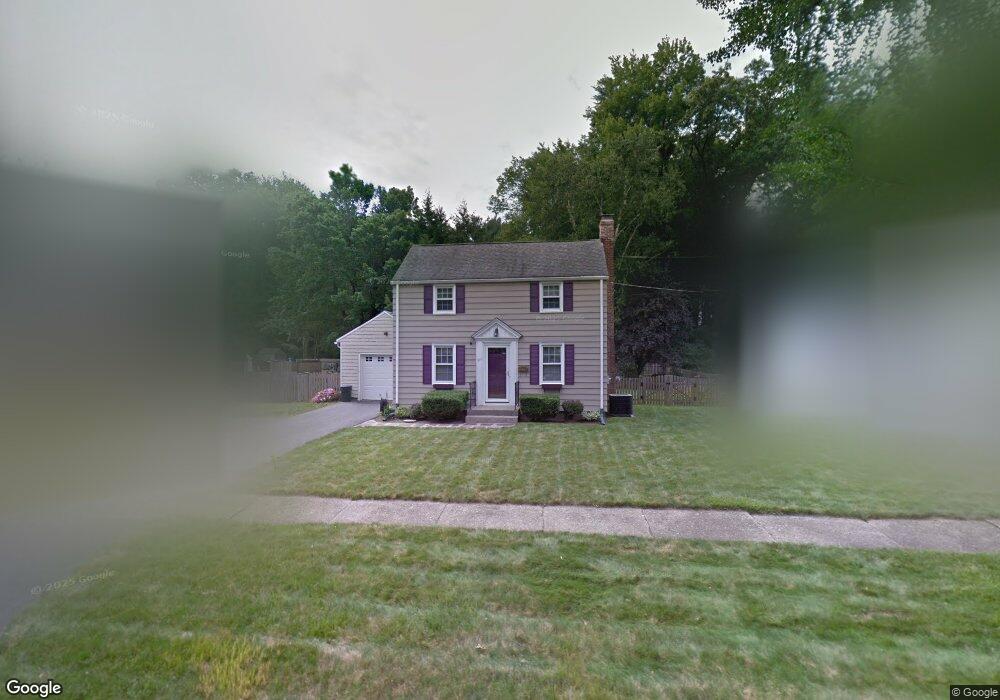
349 Maple Rd Longmeadow, MA 01106
Estimated Value: $334,076 - $410,000
2
Beds
1
Bath
1,080
Sq Ft
$330/Sq Ft
Est. Value
About This Home
This home is located at 349 Maple Rd, Longmeadow, MA 01106 and is currently estimated at $356,769, approximately $330 per square foot. 349 Maple Rd is a home located in Hampden County with nearby schools including Wolf Swamp Road School, Glenbrook Middle School, and Longmeadow High School.
Ownership History
Date
Name
Owned For
Owner Type
Purchase Details
Closed on
Oct 13, 2022
Sold by
Delsignore Carolynn E
Bought by
Delsignore Ft
Current Estimated Value
Purchase Details
Closed on
Jun 30, 1995
Sold by
Rose Dean A and Rose Jennifer A
Bought by
Delsignore Carolynn E
Home Financials for this Owner
Home Financials are based on the most recent Mortgage that was taken out on this home.
Original Mortgage
$120,500
Interest Rate
7.8%
Mortgage Type
Purchase Money Mortgage
Create a Home Valuation Report for This Property
The Home Valuation Report is an in-depth analysis detailing your home's value as well as a comparison with similar homes in the area
Home Values in the Area
Average Home Value in this Area
Purchase History
| Date | Buyer | Sale Price | Title Company |
|---|---|---|---|
| Delsignore Ft | -- | None Available | |
| Delsignore Carolynn E | $123,000 | -- |
Source: Public Records
Mortgage History
| Date | Status | Borrower | Loan Amount |
|---|---|---|---|
| Previous Owner | Delsignore Carolynn E | $120,500 |
Source: Public Records
Tax History
| Year | Tax Paid | Tax Assessment Tax Assessment Total Assessment is a certain percentage of the fair market value that is determined by local assessors to be the total taxable value of land and additions on the property. | Land | Improvement |
|---|---|---|---|---|
| 2025 | $5,848 | $276,900 | $136,900 | $140,000 |
| 2024 | $5,726 | $276,900 | $136,900 | $140,000 |
| 2023 | $5,178 | $225,900 | $94,600 | $131,300 |
| 2022 | $5,293 | $214,800 | $109,100 | $105,700 |
| 2021 | $5,401 | $218,300 | $110,800 | $107,500 |
| 2020 | $4,939 | $204,000 | $97,000 | $107,000 |
| 2019 | $4,897 | $203,300 | $103,900 | $99,400 |
| 2018 | $4,367 | $179,400 | $109,000 | $70,400 |
| 2017 | $4,230 | $179,400 | $109,000 | $70,400 |
| 2016 | $4,153 | $170,700 | $104,600 | $66,100 |
| 2015 | $4,008 | $169,700 | $103,600 | $66,100 |
Source: Public Records
Map
Nearby Homes
Your Personal Tour Guide
Ask me questions while you tour the home.