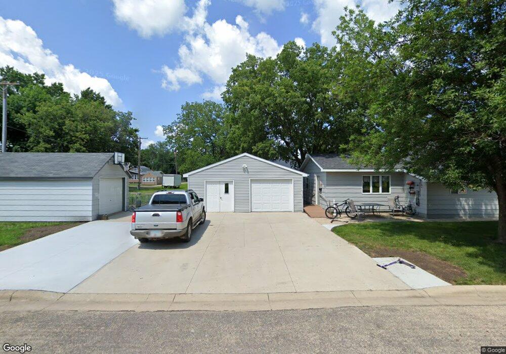
349 W Ronning Ave Appleton, MN 56208
Estimated Value: $121,000 - $190,000
Studio
--
Bath
1,232
Sq Ft
$117/Sq Ft
Est. Value
About This Home
This home is located at 349 W Ronning Ave, Appleton, MN 56208 and is currently estimated at $143,669, approximately $116 per square foot. 349 W Ronning Ave is a home located in Swift County with nearby schools including Lac qui Parle Valley Secondary School.
Create a Home Valuation Report for This Property
The Home Valuation Report is an in-depth analysis detailing your home's value as well as a comparison with similar homes in the area
Tax History
| Year | Tax Paid | Tax Assessment Tax Assessment Total Assessment is a certain percentage of the fair market value that is determined by local assessors to be the total taxable value of land and additions on the property. | Land | Improvement |
|---|---|---|---|---|
| 2025 | $2,258 | $128,600 | $2,800 | $125,800 |
| 2024 | $2,258 | $128,600 | $2,800 | $125,800 |
| 2023 | $1,372 | $113,700 | $2,800 | $110,900 |
| 2022 | $1,240 | $87,900 | $2,800 | $85,100 |
| 2021 | $1,104 | $73,500 | $2,800 | $70,700 |
| 2020 | $1,164 | $73,500 | $2,800 | $70,700 |
| 2019 | $1,086 | $68,100 | $2,800 | $65,300 |
| 2017 | $1,612 | $0 | $0 | $0 |
| 2016 | $1,702 | $0 | $0 | $0 |
| 2015 | $1,688 | $0 | $0 | $0 |
| 2014 | -- | $0 | $0 | $0 |
Source: Public Records
Map
Nearby Homes
- 135 N Petrick St
- 228 S Haven St
- 441 S Haven St
- 135 E Snelling Ave
- 424 S Gaulke St
- 231 E Snelling Ave
- 335 E Sorenson Ave
- 145 N Bordson St
- 429 E Rooney Ave
- 447 E Schlieman Ave
- 537 E Ronning Ave
- 755 240th Ave SW
- 742 200th Ave SW
- 1150 Minnesota 7
- 345 200th Ave SW
- NA Highway 12 SW
- U S 12
- 275 150th Ave SW
- 2551 361st Ave
- 509 1st St
- 126 S Nelson St
- 149 S Munsterman St
- 141 S Munsterman St
- 350 W Rooney Ave
- 338 W Rooney Ave
- 350 W Rooney Ave
- 137 S Munsterman St
- 223 S Munsterman St
- 424 W Rooney Ave
- 123 S Munsterman St
- 436 W Rooney Ave
- 150 150 S Munsterman
- 337 W Rooney Ave
- 150 S Munsterman St
- 134 S Munsterman St
- 134 134 S Munsterman St
- 349 W Rooney Ave
- 349 349 W Rooney Ave
- 49 S Munsterman St
- 49 49 S Munsterman St
Your Personal Tour Guide
Ask me questions while you tour the home.