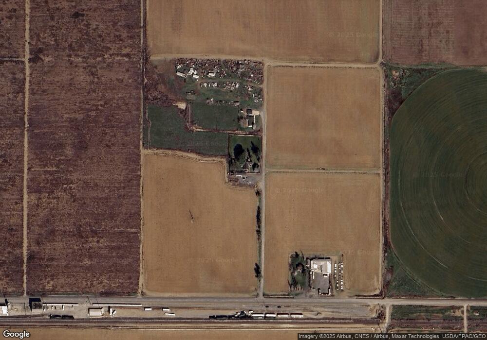
3491 Branch Rd Wapato, WA 98951
Estimated Value: $330,000 - $477,000
3
Beds
2
Baths
1,660
Sq Ft
$225/Sq Ft
Est. Value
About This Home
This home is located at 3491 Branch Rd, Wapato, WA 98951 and is currently estimated at $374,001, approximately $225 per square foot. 3491 Branch Rd is a home located in Yakima County with nearby schools including Camas Elementary School, Adams Elementary School, and Satus Elementary School.
Ownership History
Date
Name
Owned For
Owner Type
Purchase Details
Closed on
Apr 21, 2015
Sold by
Brownlee Timothy P and Brownlee Kimberly H D
Bought by
Brownlee Family Revocable Living Trust
Current Estimated Value
Purchase Details
Closed on
Jan 15, 2013
Sold by
Krueger Gayle
Bought by
Brownlee Kimberly and Brownlee Timothy
Purchase Details
Closed on
Feb 10, 2012
Sold by
Mayle Thelia
Bought by
Krueger Gayle
Purchase Details
Closed on
Feb 15, 2005
Sold by
Krueger Chloetta
Bought by
Krueger Gayle and Mayle Thelia
Create a Home Valuation Report for This Property
The Home Valuation Report is an in-depth analysis detailing your home's value as well as a comparison with similar homes in the area
Home Values in the Area
Average Home Value in this Area
Purchase History
| Date | Buyer | Sale Price | Title Company |
|---|---|---|---|
| Brownlee Family Revocable Living Trust | -- | None Available | |
| Brownlee Kimberly | -- | Commonwealth Land Title Insu | |
| Krueger Gayle | -- | Commonwealth Land Title Insu | |
| Krueger Gayle | -- | None Available |
Source: Public Records
Tax History Compared to Growth
Tax History
| Year | Tax Paid | Tax Assessment Tax Assessment Total Assessment is a certain percentage of the fair market value that is determined by local assessors to be the total taxable value of land and additions on the property. | Land | Improvement |
|---|---|---|---|---|
| 2025 | $3,073 | $307,400 | $77,300 | $230,100 |
| 2023 | $2,416 | $224,600 | $47,800 | $176,800 |
| 2022 | $2,041 | $194,900 | $46,100 | $148,800 |
| 2021 | $1,873 | $175,700 | $44,800 | $130,900 |
| 2019 | $1,634 | $144,900 | $40,000 | $104,900 |
| 2018 | $1,639 | $133,600 | $36,200 | $97,400 |
| 2017 | $1,475 | $127,500 | $36,200 | $91,300 |
| 2016 | $1,478 | $126,200 | $36,200 | $90,000 |
| 2015 | $1,478 | $123,300 | $36,200 | $87,100 |
| 2014 | $1,478 | $123,300 | $36,200 | $87,100 |
| 2013 | $1,478 | $123,300 | $36,200 | $87,100 |
Source: Public Records
Map
Nearby Homes
- NKA Knights Lane Campbell Rd
- 1423 Progressive Rd
- NKA McDonald Rd
- NKA Campbell Rd
- nka Lateral A Prgrssve Rd Rd
- 0 McDonald Rd
- NKA Branch Rd
- 703 S Naches Ave
- nka W Rd
- 604 W 4th St
- NNA Fort Rd Unit Fort Rd/Lateral B Rd
- 100 Gordon Ln
- 300 E Martin Ln
- 213 W C St
- 260 Truck Garden Ln
- 115 E Elizabeth St
- 2284 Ashue Rd
- NKA Fort Rd
- 41 Washington St
- 91 Batali St