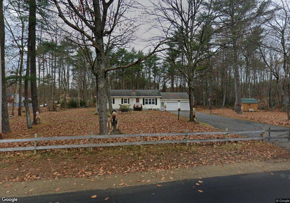
35 Arthur Dr Steep Falls, ME 04085
Estimated Value: $373,000 - $424,000
3
Beds
1
Bath
1,196
Sq Ft
$324/Sq Ft
Est. Value
About This Home
This home is located at 35 Arthur Dr, Steep Falls, ME 04085 and is currently estimated at $387,529, approximately $324 per square foot. 35 Arthur Dr is a home located in Cumberland County with nearby schools including Bonny Eagle High School and Standish Baptist Academy.
Ownership History
Date
Name
Owned For
Owner Type
Purchase Details
Closed on
Apr 23, 2009
Sold by
Osgood Linda A and Belanger Linda A
Bought by
Fuessel Linda S
Current Estimated Value
Home Financials for this Owner
Home Financials are based on the most recent Mortgage that was taken out on this home.
Original Mortgage
$189,000
Outstanding Balance
$144,905
Interest Rate
4.93%
Mortgage Type
USDA
Estimated Equity
$242,624
Create a Home Valuation Report for This Property
The Home Valuation Report is an in-depth analysis detailing your home's value as well as a comparison with similar homes in the area
Home Values in the Area
Average Home Value in this Area
Purchase History
| Date | Buyer | Sale Price | Title Company |
|---|---|---|---|
| Fuessel Linda S | -- | -- |
Source: Public Records
Mortgage History
| Date | Status | Borrower | Loan Amount |
|---|---|---|---|
| Open | Fuessel Linda S | $189,000 |
Source: Public Records
Tax History
| Year | Tax Paid | Tax Assessment Tax Assessment Total Assessment is a certain percentage of the fair market value that is determined by local assessors to be the total taxable value of land and additions on the property. | Land | Improvement |
|---|---|---|---|---|
| 2024 | $3,536 | $280,600 | $76,200 | $204,400 |
| 2023 | $3,298 | $238,100 | $63,600 | $174,500 |
| 2022 | $3,026 | $209,400 | $56,600 | $152,800 |
| 2021 | $2,580 | $197,000 | $51,400 | $145,600 |
| 2019 | $2,718 | $190,100 | $48,800 | $141,300 |
| 2018 | $4,662 | $184,900 | $43,600 | $141,300 |
| 2017 | $2,450 | $184,900 | $43,600 | $141,300 |
| 2016 | $2,370 | $184,900 | $43,600 | $141,300 |
| 2015 | $2,365 | $184,900 | $43,600 | $141,300 |
| 2013 | -- | $184,900 | $43,600 | $141,300 |
Source: Public Records
Map
Nearby Homes
- 12 Deborah Ln
- 13 Angelwood Road Extension
- 15 Manchester Rd
- 27 Watchic Terrace Rd
- 4 Watchic Rd 15
- 1042 Pequawket Trail
- 5 Holiday Ln
- 21 Holiday Ln
- 23 Fair Wind Dr
- 500 Ossipee Trail W
- 5 Wards Pond Rd
- 29 Maplewood Dr
- 419 Middle Rd
- 11 Moore's Way
- 473B Middle Rd
- 421 Middle Rd
- 599 Pequawket Trail
- 192 Ossipee Trail
- 13 Airport Dr Unit O
- 13 Airport Dr Unit Q
Your Personal Tour Guide
Ask me questions while you tour the home.