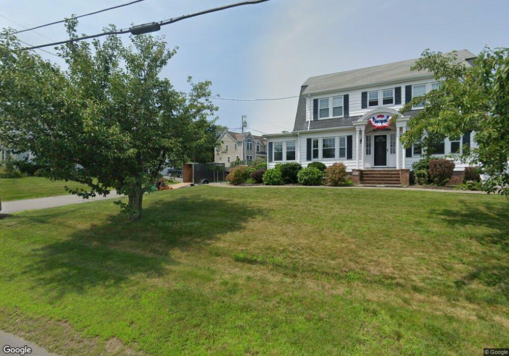
35 Captains Way Somerset, MA 02726
Pottersville NeighborhoodEstimated Value: $627,000 - $802,000
3
Beds
3
Baths
2,638
Sq Ft
$268/Sq Ft
Est. Value
About This Home
This home is located at 35 Captains Way, Somerset, MA 02726 and is currently estimated at $707,388, approximately $268 per square foot. 35 Captains Way is a home located in Bristol County with nearby schools including North Elementary School, Somerset Middle School, and St. Michael's School.
Create a Home Valuation Report for This Property
The Home Valuation Report is an in-depth analysis detailing your home's value as well as a comparison with similar homes in the area
Home Values in the Area
Average Home Value in this Area
Tax History Compared to Growth
Tax History
| Year | Tax Paid | Tax Assessment Tax Assessment Total Assessment is a certain percentage of the fair market value that is determined by local assessors to be the total taxable value of land and additions on the property. | Land | Improvement |
|---|---|---|---|---|
| 2025 | $9,251 | $695,600 | $205,300 | $490,300 |
| 2024 | $8,626 | $674,400 | $205,300 | $469,100 |
| 2023 | $7,659 | $604,000 | $186,500 | $417,500 |
| 2022 | $7,189 | $535,400 | $161,900 | $373,500 |
| 2021 | $7,189 | $489,700 | $146,900 | $342,800 |
| 2020 | $7,272 | $477,800 | $147,800 | $330,000 |
| 2019 | $8,114 | $444,600 | $147,800 | $296,800 |
| 2018 | $7,339 | $432,700 | $146,200 | $286,500 |
| 2017 | $7,270 | $417,800 | $146,200 | $271,600 |
| 2016 | $7,316 | $417,800 | $146,200 | $271,600 |
| 2015 | $7,037 | $405,600 | $155,900 | $249,700 |
| 2014 | $9,858 | $408,200 | $155,900 | $252,300 |
Source: Public Records
Map
Nearby Homes
- 11 Captains Way
- 50 Captains Way
- 4059 Riverside Ave
- 55 Captains Way
- 4019 Riverside Ave
- 4079 Riverside Ave
- 4005 Riverside Ave
- 75 Captains Way
- 24 Carrie Hood Ln
- 70 Captains Way
- 4105 Riverside Ave
- 3985 Riverside Ave
- 33 Carrie Hood Ln
- 45 Carrie Hood Ln
- 95 Captains Way
- 90 Captains Way
- 21 Carrie Hood Ln
- 65 Carrie Hood Ln
- 11 Carrie Hood Ln
- 97 Keegan Ct