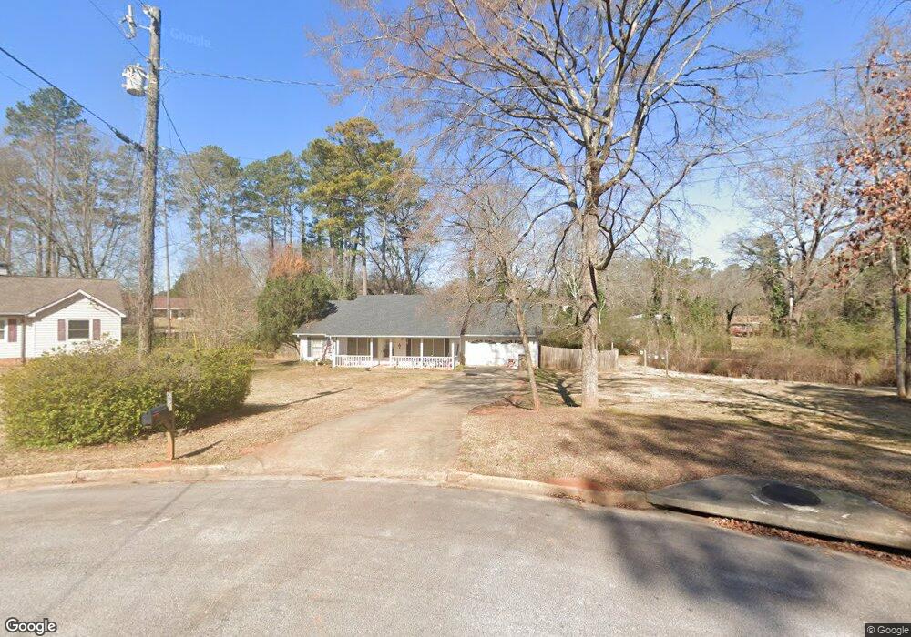
35 Cowan Ct Unit 2 Stockbridge, GA 30281
Estimated Value: $243,874 - $276,000
3
Beds
2
Baths
1,682
Sq Ft
$154/Sq Ft
Est. Value
About This Home
This home is located at 35 Cowan Ct Unit 2, Stockbridge, GA 30281 and is currently estimated at $258,719, approximately $153 per square foot. 35 Cowan Ct Unit 2 is a home located in Henry County with nearby schools including Cotton Indian Elementary School, Stockbridge Middle School, and Stockbridge High School.
Ownership History
Date
Name
Owned For
Owner Type
Purchase Details
Closed on
May 9, 2017
Sold by
Not Provided
Bought by
Srp Sub Llc
Current Estimated Value
Purchase Details
Closed on
Jan 9, 2013
Sold by
Anderson Cherilyn
Bought by
Colfin Ai Ga 1 Llc
Purchase Details
Closed on
Jul 24, 2002
Sold by
Donahue James C
Bought by
Anderson Cherilyn and Anderson Michael B
Home Financials for this Owner
Home Financials are based on the most recent Mortgage that was taken out on this home.
Original Mortgage
$121,278
Interest Rate
6.62%
Mortgage Type
VA
Create a Home Valuation Report for This Property
The Home Valuation Report is an in-depth analysis detailing your home's value as well as a comparison with similar homes in the area
Home Values in the Area
Average Home Value in this Area
Purchase History
| Date | Buyer | Sale Price | Title Company |
|---|---|---|---|
| Srp Sub Llc | -- | -- | |
| Colfin Ai Ga 1 Llc | $58,000 | -- | |
| Anderson Cherilyn | $118,900 | -- |
Source: Public Records
Mortgage History
| Date | Status | Borrower | Loan Amount |
|---|---|---|---|
| Previous Owner | Anderson Cherilyn | $121,278 |
Source: Public Records
Tax History Compared to Growth
Tax History
| Year | Tax Paid | Tax Assessment Tax Assessment Total Assessment is a certain percentage of the fair market value that is determined by local assessors to be the total taxable value of land and additions on the property. | Land | Improvement |
|---|---|---|---|---|
| 2025 | $3,835 | $96,000 | $15,562 | $80,438 |
| 2024 | $3,835 | $96,000 | $16,120 | $79,880 |
| 2023 | $3,960 | $102,200 | $11,520 | $90,680 |
| 2022 | $2,929 | $75,320 | $11,520 | $63,800 |
| 2021 | $2,116 | $54,120 | $9,200 | $44,920 |
| 2020 | $2,116 | $54,120 | $9,200 | $44,920 |
| 2019 | $1,805 | $54,120 | $9,200 | $44,920 |
| 2018 | $1,993 | $50,920 | $9,200 | $41,720 |
| 2016 | $1,766 | $45,000 | $9,200 | $35,800 |
| 2015 | $1,584 | $39,040 | $6,920 | $32,120 |
| 2014 | $968 | $23,200 | $3,410 | $19,790 |
Source: Public Records
Map
Nearby Homes
- 364 Sound Cir
- 0 Old Conyers Rd Unit 10574658
- 180 Cowan Dr
- 1527 Old Conyers Rd Unit 4
- 159 Brookwood Estates Trail
- 125 Johnsons Walk Unit 2
- 120 Montgomery Dr
- 104 Montgomery Dr
- 30 Hickory Dr
- 65 Wynfield Dr
- 0 N Highway 42 Unit 10627424
- 0 Highway 155 N Unit 7649185
- 2581 Union Church Rd SW
- 278 Sound Cir
- 286 Sound Cir
- 0 Freeman Dr Unit 128 10480940
- 95 Fern Ct
- 0 Freeman #128 Dr
- 193 Edison Dr
- 0 Flakes Rd Unit 24
- 25 Cowan Ct
- 20 Cowan Ct
- 6 Homesite Blanton Ln
- 208 Blanton Ln
- 216 Blanton Ln
- 6 Homesite Corner Lot
- 1740 Limousin 332 Way
- 101 Cowan Dr
- 10 Cowan Ct
- 317 Sound Cir
- 110 Cowan Dr
- 125 Cowan Dr
- 100 Cowan Dr
- 120 Cowan Dr
- 20 Circle Creek Dr
- 10 Circle Creek Dr
- 130 Cowan Dr
- 1450 Old Conyers Rd
- 30 Circle Creek Dr
- 790 Flat Rock Rd