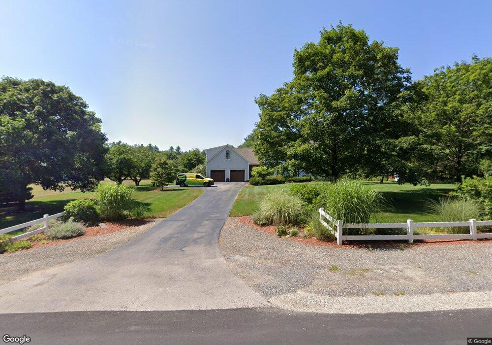
35 Nevins Rd Hollis, NH 03049
Hollis NeighborhoodEstimated Value: $719,000 - $974,000
4
Beds
4
Baths
2,687
Sq Ft
$318/Sq Ft
Est. Value
About This Home
This home is located at 35 Nevins Rd, Hollis, NH 03049 and is currently estimated at $855,694, approximately $318 per square foot. 35 Nevins Rd is a home with nearby schools including Hollis Primary School, Hollis Upper Elementary School, and Hollis-Brookline Middle School.
Ownership History
Date
Name
Owned For
Owner Type
Purchase Details
Closed on
Dec 4, 2018
Sold by
Mcnamara Robert C and Mcnamara Carolyn E
Bought by
Mcnamara Ft
Current Estimated Value
Purchase Details
Closed on
Aug 15, 1996
Sold by
Nadan Fam Rt
Bought by
Mcnamara Robert C and Mcnamara Carolyn E
Create a Home Valuation Report for This Property
The Home Valuation Report is an in-depth analysis detailing your home's value as well as a comparison with similar homes in the area
Home Values in the Area
Average Home Value in this Area
Purchase History
| Date | Buyer | Sale Price | Title Company |
|---|---|---|---|
| Mcnamara Ft | -- | -- | |
| Mcnamara Robert C | $242,500 | -- |
Source: Public Records
Mortgage History
| Date | Status | Borrower | Loan Amount |
|---|---|---|---|
| Previous Owner | Mcnamara Robert C | $25,000 | |
| Previous Owner | Mcnamara Robert C | $356,250 | |
| Previous Owner | Mcnamara Robert C | $150,000 |
Source: Public Records
Tax History Compared to Growth
Tax History
| Year | Tax Paid | Tax Assessment Tax Assessment Total Assessment is a certain percentage of the fair market value that is determined by local assessors to be the total taxable value of land and additions on the property. | Land | Improvement |
|---|---|---|---|---|
| 2024 | $13,778 | $777,100 | $252,200 | $524,900 |
| 2023 | $12,946 | $777,100 | $252,200 | $524,900 |
| 2022 | $17,539 | $777,100 | $252,200 | $524,900 |
| 2021 | $11,466 | $505,100 | $165,000 | $340,100 |
| 2020 | $11,708 | $505,100 | $165,000 | $340,100 |
| 2019 | $11,668 | $505,100 | $165,000 | $340,100 |
| 2018 | $10,946 | $505,100 | $165,000 | $340,100 |
| 2017 | $10,339 | $446,600 | $145,000 | $301,600 |
| 2016 | $10,464 | $446,600 | $145,000 | $301,600 |
| 2015 | $10,057 | $436,900 | $145,000 | $291,900 |
| 2014 | $10,105 | $436,900 | $145,000 | $291,900 |
| 2013 | $9,970 | $436,900 | $145,000 | $291,900 |
Source: Public Records
Map
Nearby Homes
- 77 Mooar Hill Rd
- 4-13 Woodmont Dr
- 199 Pine Hill Rd
- 40-40A Pine Hill Rd
- 25 Eastern Ave
- 3 Roedean Dr Unit C-207
- 75 Deerwood Dr Unit B
- 5 Dumaine Ave Unit B
- 5 Dumaine Ave Unit N
- 201 Millwright Dr
- 102 Silver Lake Rd
- 3 Wood Ln
- 118 Broad St
- 77 Broad St
- 36 Hampton Dr
- 10 Drouin Way
- 16 Captain Danforth Ln
- 4 Jared Cir Unit U21
- 6 Veterans Rd Unit 15
- 5 Chatfield Dr Unit U18