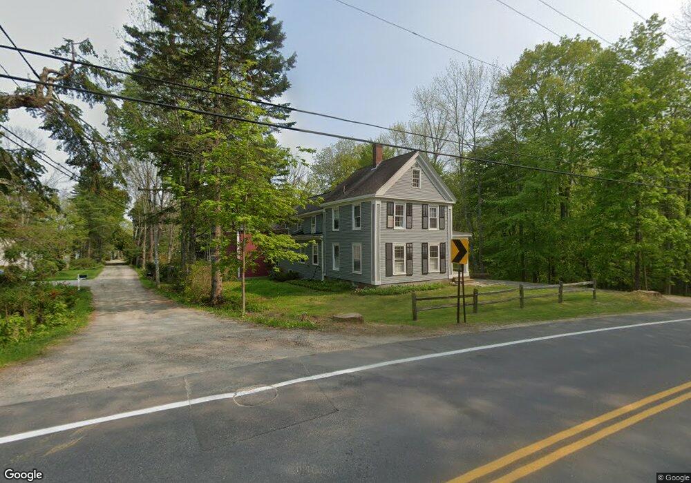
35 Talbot Way Freeport, ME 04032
Estimated Value: $825,000 - $1,979,260
4
Beds
3
Baths
1,865
Sq Ft
$784/Sq Ft
Est. Value
About This Home
This home is located at 35 Talbot Way, Freeport, ME 04032 and is currently estimated at $1,463,065, approximately $784 per square foot. 35 Talbot Way is a home located in Cumberland County with nearby schools including Morse Street School, Mast Landing School, and Freeport Middle School.
Create a Home Valuation Report for This Property
The Home Valuation Report is an in-depth analysis detailing your home's value as well as a comparison with similar homes in the area
Home Values in the Area
Average Home Value in this Area
Tax History
| Year | Tax Paid | Tax Assessment Tax Assessment Total Assessment is a certain percentage of the fair market value that is determined by local assessors to be the total taxable value of land and additions on the property. | Land | Improvement |
|---|---|---|---|---|
| 2025 | $22,553 | $1,628,400 | $1,290,400 | $338,000 |
| 2024 | $20,918 | $1,566,900 | $1,228,900 | $338,000 |
| 2023 | $19,396 | $1,410,600 | $1,117,100 | $293,500 |
| 2022 | $17,757 | $1,300,900 | $997,400 | $303,500 |
| 2021 | $16,864 | $1,263,200 | $985,200 | $278,000 |
| 2020 | $16,358 | $1,168,400 | $912,300 | $256,100 |
| 2019 | $15,794 | $1,104,500 | $860,600 | $243,900 |
| 2018 | $15,134 | $1,005,600 | $779,800 | $225,800 |
| 2017 | $14,652 | $980,100 | $764,500 | $215,600 |
| 2016 | $13,836 | $875,700 | $676,200 | $199,500 |
| 2015 | $13,539 | $805,900 | $618,800 | $187,100 |
Source: Public Records
Map
Nearby Homes
- 26 Harvest Ridge Rd Unit 24
- 20 Harvest Ridge Rd Unit 23
- 52 Birch Point Rd
- 15 Linwood Rd Unit 15
- 39 Hunter Rd
- 5 Holbrook St
- 2 Tidal Brook Rd
- 62 Webster Rd
- 58 Maquoit Dr
- 70 Maquoit Dr
- 10 Durham Rd
- 212 Main St
- 11 Orchard Hill Rd
- 27 Youngs Ln Unit 27
- 42 Durham Rd
- 9 Gables Dr Unit 9
- 15 Tinkers Way
- 0 Bayview St
- 52 Blueberry Cove Rd Unit 52
- 1260 Us Route 1
Your Personal Tour Guide
Ask me questions while you tour the home.