35 Trout Ln Lempster, NH 03605
Estimated Value: $361,000 - $533,000
2
Beds
1
Bath
754
Sq Ft
$617/Sq Ft
Est. Value
About This Home
This home is located at 35 Trout Ln, Lempster, NH 03605 and is currently estimated at $464,921, approximately $616 per square foot. 35 Trout Ln is a home.
Create a Home Valuation Report for This Property
The Home Valuation Report is an in-depth analysis detailing your home's value as well as a comparison with similar homes in the area
Home Values in the Area
Average Home Value in this Area
Tax History Compared to Growth
Tax History
| Year | Tax Paid | Tax Assessment Tax Assessment Total Assessment is a certain percentage of the fair market value that is determined by local assessors to be the total taxable value of land and additions on the property. | Land | Improvement |
|---|---|---|---|---|
| 2024 | $7,867 | $272,600 | $210,300 | $62,300 |
| 2023 | $7,274 | $268,300 | $210,300 | $58,000 |
| 2022 | $6,345 | $268,300 | $210,300 | $58,000 |
| 2021 | $6,375 | $268,300 | $210,300 | $58,000 |
| 2020 | $6,662 | $268,200 | $210,300 | $57,900 |
| 2019 | $4,670 | $171,000 | $118,000 | $53,000 |
| 2018 | $5,002 | $171,000 | $118,000 | $53,000 |
| 2017 | $4,321 | $171,000 | $118,000 | $53,000 |
| 2016 | $4,217 | $171,000 | $118,000 | $53,000 |
| 2015 | $3,979 | $171,000 | $118,000 | $53,000 |
| 2014 | $3,656 | $183,000 | $122,600 | $60,400 |
| 2013 | $3,731 | $183,000 | $122,600 | $60,400 |
Source: Public Records
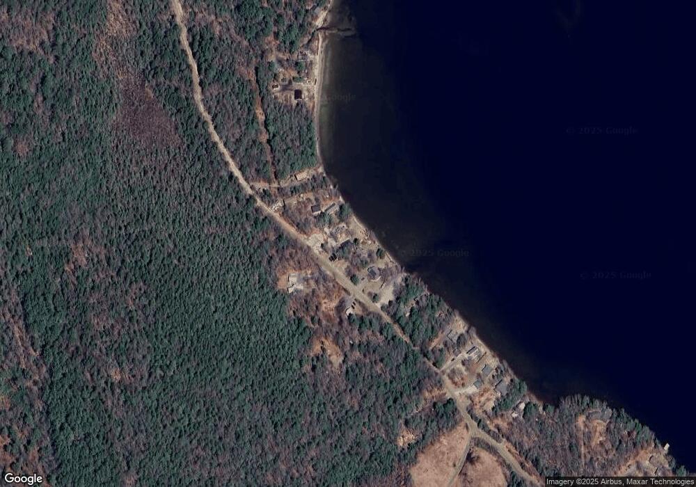
Map
Nearby Homes
- 264 Olds Rd
- 16 Mckinnon Rd
- 0 Olds Rd
- 223 Long Pond Rd
- 150 Jefferson Dr
- 335 Coolidge Dr
- 24 Cleveland Cir
- 286 Presidential Dr
- 34 Adams Dr
- 131 Adams Dr
- 133 Earl Ln
- 124 Marlow Hill Rd
- 2nd Nh Turnpike
- 13 Mountain Rd
- 0 Flagg Rd Unit 10 5063404
- 8 Hillside Dr
- 7-46 N Main St
- 236 Washington Pond Rd
- 407 Cold River Rd
- Lot 21 Dodge Pond Ln