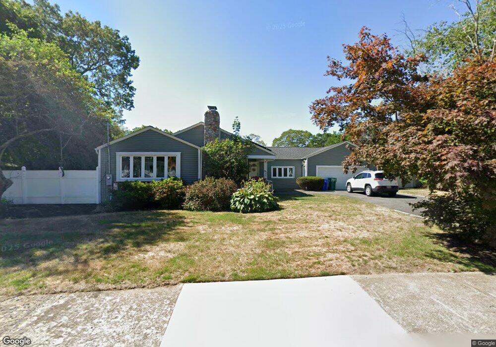
35 Upland Rd Attleboro, MA 02703
Estimated Value: $456,000 - $566,000
3
Beds
2
Baths
1,366
Sq Ft
$380/Sq Ft
Est. Value
About This Home
This home is located at 35 Upland Rd, Attleboro, MA 02703 and is currently estimated at $518,798, approximately $379 per square foot. 35 Upland Rd is a home located in Bristol County with nearby schools including Thomas E. Willett School, Cyril K. Brennan Middle School, and Attleboro High School.
Ownership History
Date
Name
Owned For
Owner Type
Purchase Details
Closed on
Apr 22, 2008
Sold by
Destefano Joseph A
Bought by
Dickerson Dianne M
Current Estimated Value
Home Financials for this Owner
Home Financials are based on the most recent Mortgage that was taken out on this home.
Original Mortgage
$176,000
Interest Rate
6.1%
Mortgage Type
Purchase Money Mortgage
Purchase Details
Closed on
Jul 29, 1992
Sold by
Cooper David R and Cooper Rosalind A
Bought by
Destefano Albert A and Destefano Jospeh
Create a Home Valuation Report for This Property
The Home Valuation Report is an in-depth analysis detailing your home's value as well as a comparison with similar homes in the area
Home Values in the Area
Average Home Value in this Area
Purchase History
| Date | Buyer | Sale Price | Title Company |
|---|---|---|---|
| Dickerson Dianne M | $220,000 | -- | |
| Destefano Albert A | $135,000 | -- |
Source: Public Records
Mortgage History
| Date | Status | Borrower | Loan Amount |
|---|---|---|---|
| Open | Destefano Albert A | $175,000 | |
| Closed | Dickerson Dianne M | $176,000 | |
| Previous Owner | Destefano Albert A | $127,500 |
Source: Public Records
Tax History
| Year | Tax Paid | Tax Assessment Tax Assessment Total Assessment is a certain percentage of the fair market value that is determined by local assessors to be the total taxable value of land and additions on the property. | Land | Improvement |
|---|---|---|---|---|
| 2025 | $6,177 | $492,200 | $174,700 | $317,500 |
| 2024 | $6,200 | $487,000 | $192,200 | $294,800 |
| 2023 | $5,811 | $424,500 | $168,600 | $255,900 |
| 2022 | $5,432 | $375,900 | $148,800 | $227,100 |
| 2021 | $4,432 | $340,500 | $143,200 | $197,300 |
| 2020 | $4,337 | $332,800 | $135,700 | $197,100 |
| 2019 | $4,632 | $327,100 | $133,200 | $193,900 |
| 2018 | $4,539 | $306,300 | $129,400 | $176,900 |
| 2017 | $4,300 | $295,500 | $134,500 | $161,000 |
| 2016 | $4,004 | $270,200 | $125,600 | $144,600 |
| 2015 | $4,001 | $272,000 | $125,600 | $146,400 |
| 2014 | $3,759 | $253,100 | $120,700 | $132,400 |
Source: Public Records
Map
Nearby Homes
- 26 West St
- 149 N Main St Unit B
- 20 Elizabeth St
- 10 John St
- 10 Hazelwood Ct
- 15 North Ave
- 32 Park St Unit 4
- 0 Rosedale Ln Unit 73469293
- 64 Mechanic St Unit 3
- 64 Mechanic St
- 747 N Main St
- 46 Berwick Rd
- 37 Holman St
- 28 Pine St Unit C
- 18-20 Jefferson St
- 45 Holman St
- 21 4th St
- 75 Dennis St Unit 3
- 61 Pine St Unit 9
- 17 Capron St
Your Personal Tour Guide
Ask me questions while you tour the home.