35 Westgate Dr SW Cartersville, GA 30120
Estimated Value: $330,000 - $377,140
5
Beds
3
Baths
2,019
Sq Ft
$171/Sq Ft
Est. Value
About This Home
This home is located at 35 Westgate Dr SW, Cartersville, GA 30120 and is currently estimated at $345,535, approximately $171 per square foot. 35 Westgate Dr SW is a home located in Bartow County with nearby schools including Euharlee Elementary School, Woodland Middle School, and Woodland High School.
Ownership History
Date
Name
Owned For
Owner Type
Purchase Details
Closed on
Aug 23, 2019
Sold by
Serrano Alberto
Bought by
Woodall Mercedie and Woodall Michael
Current Estimated Value
Home Financials for this Owner
Home Financials are based on the most recent Mortgage that was taken out on this home.
Original Mortgage
$192,060
Outstanding Balance
$168,209
Interest Rate
3.7%
Mortgage Type
New Conventional
Estimated Equity
$177,326
Create a Home Valuation Report for This Property
The Home Valuation Report is an in-depth analysis detailing your home's value as well as a comparison with similar homes in the area
Home Values in the Area
Average Home Value in this Area
Purchase History
| Date | Buyer | Sale Price | Title Company |
|---|---|---|---|
| Woodall Mercedie | $198,000 | -- |
Source: Public Records
Mortgage History
| Date | Status | Borrower | Loan Amount |
|---|---|---|---|
| Open | Woodall Mercedie | $192,060 |
Source: Public Records
Tax History Compared to Growth
Tax History
| Year | Tax Paid | Tax Assessment Tax Assessment Total Assessment is a certain percentage of the fair market value that is determined by local assessors to be the total taxable value of land and additions on the property. | Land | Improvement |
|---|---|---|---|---|
| 2024 | $3,131 | $145,203 | $24,000 | $121,203 |
| 2023 | $3,373 | $134,190 | $24,000 | $110,190 |
| 2022 | $2,442 | $102,762 | $18,000 | $84,762 |
| 2021 | $1,953 | $79,812 | $18,000 | $61,812 |
| 2020 | $2,000 | $77,812 | $16,000 | $61,812 |
| 2019 | $1,740 | $62,670 | $16,000 | $46,670 |
| 2018 | $1,569 | $56,319 | $10,000 | $46,319 |
| 2017 | $1,512 | $54,000 | $10,000 | $44,000 |
| 2016 | $1,523 | $54,000 | $10,000 | $44,000 |
| 2015 | $1,370 | $48,480 | $6,000 | $42,480 |
| 2014 | $1,242 | $42,560 | $6,000 | $36,560 |
| 2013 | -- | $30,600 | $6,400 | $24,200 |
Source: Public Records
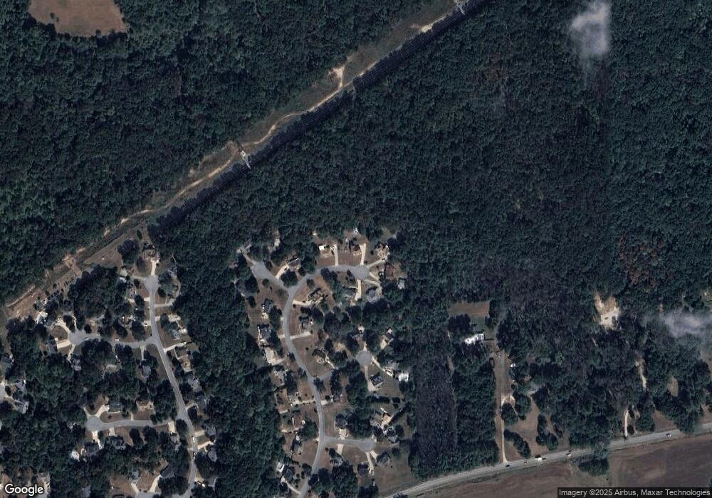
Map
Nearby Homes
- 103 Hankins Dr SW
- 264 Euharlee Rd SW
- 11 Vintage Ct SW
- 18 Foxfire Ln SW
- 41 Fox Fire Ln SW
- 33 Engineer Ln SW
- 21 Whistle Stop Dr SW
- 20 Greenwood Dr SW
- 29 Greenwood Dr SW
- 52 Curtis Ct SW
- 0 Dodson Rd SW Unit 7678715
- 0 Dodson Rd SW Unit 10641452
- 1042 Mission Rd SW
- The James Plan at The Stiles
- The McGinnis Plan at The Stiles
- The Caldwell Plan at The Stiles
- The Harrington Plan at The Stiles
- The Bradley Plan at The Stiles
- The Maddux II Plan at The Stiles
- The Benson II Plan at The Stiles
- 35 Westgate Dr SW
- 35 Westgate Dr SW
- 33 Westgate Dr SW
- 37 Westgate Dr SW
- 117 Hadley Way SW
- 237 Malbone St SW
- 118 Hadley Way SW
- 189 Malbone St SW
- 230 Malbone St SW
- 124 Hadley Way SW
- 116 Hadley Way SW
- 120 Hadley Way SW
- 110 Hadley Way SW
- 195 Malbone St SW
- 448 Union Station St
- 404 Union Station St
- 404 Union Station St Unit 107
- 404 Union Station St
- 426 Union Station St
- 103 Hankins Dr SW